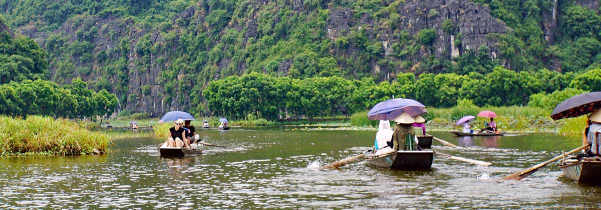
In Northern Vietnam in the Red River Delta, lies the city of Ninh Binh. The Red River runs through the area and enters into the Gulf of Tonkin. The Delta provides the local people with fish, rice fields and wildlife. The city is home to about 130,000 people, it is the capital of the Ninh Binh province and it is about two hours S/E from Ha Noi. The city and the province was of great importance as an ally to the French during the preceding events to the Sino-French war in the bay of Tonkin. The Sino French war started in 1884. The French artillery that was established on the citadel up on a hilltop controlled access to the Bay of Tonkin through the Red River.
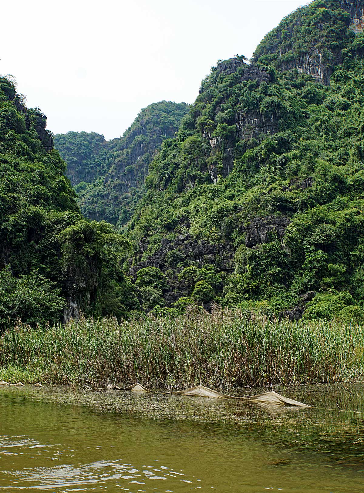
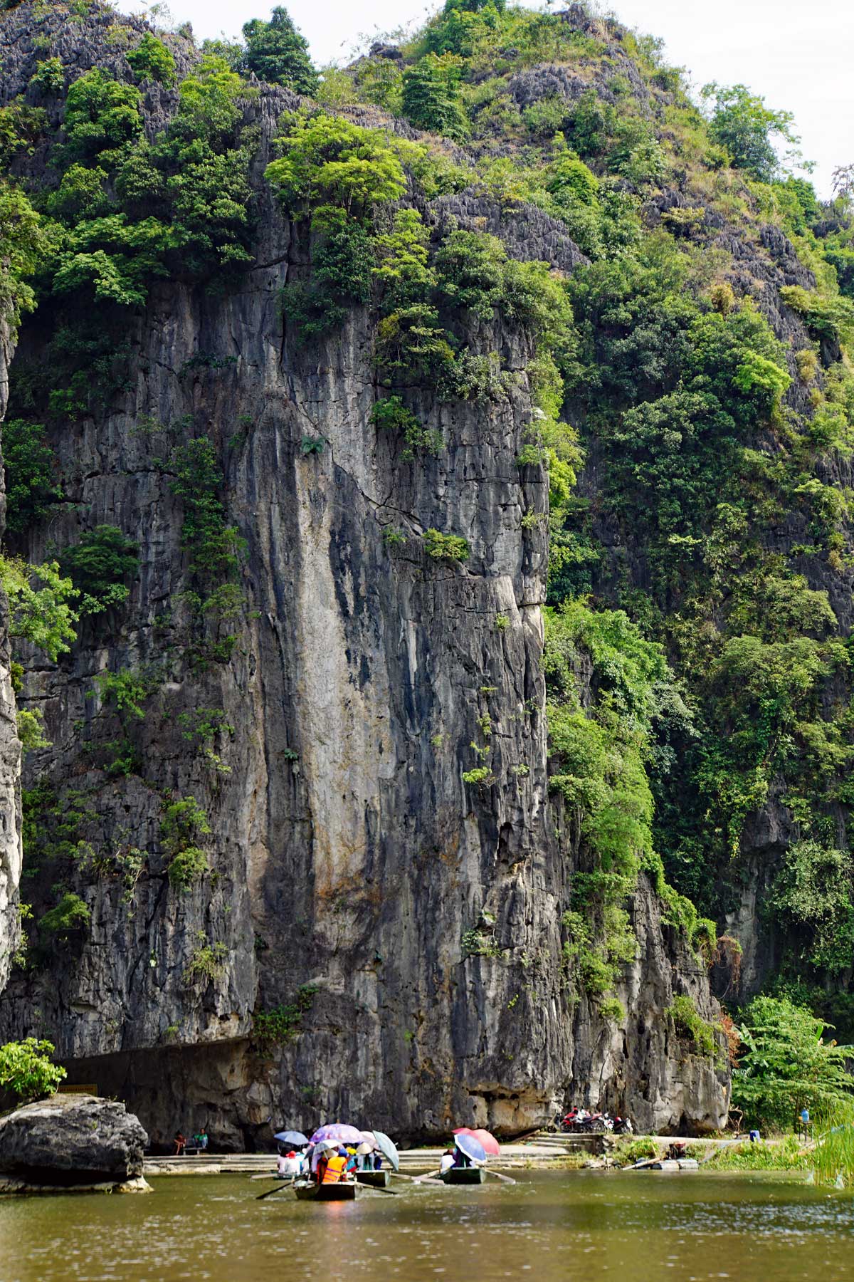
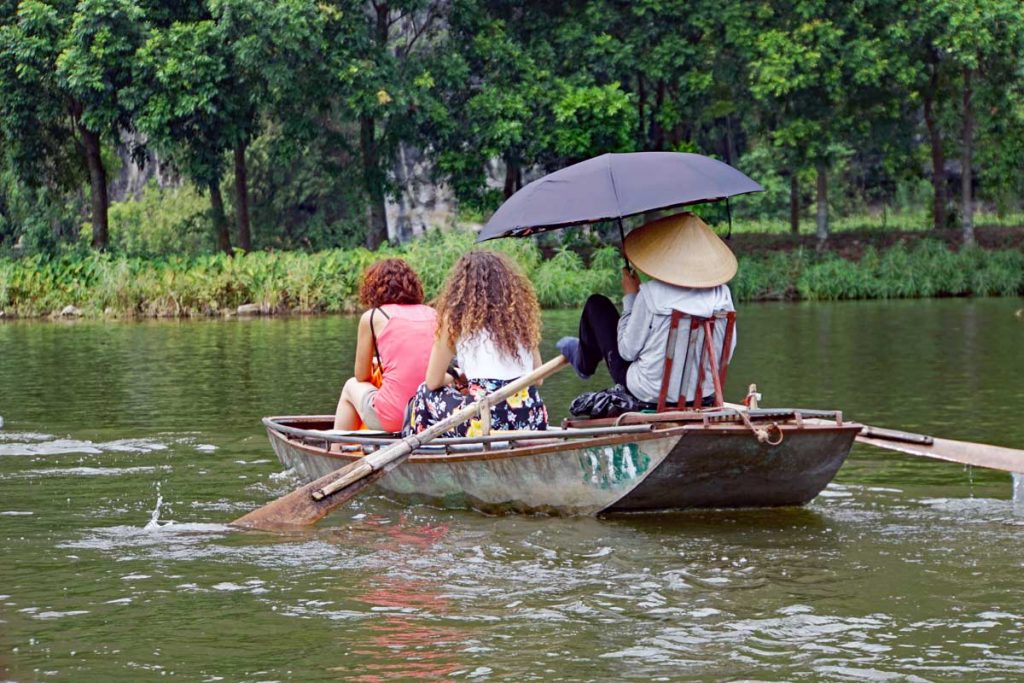
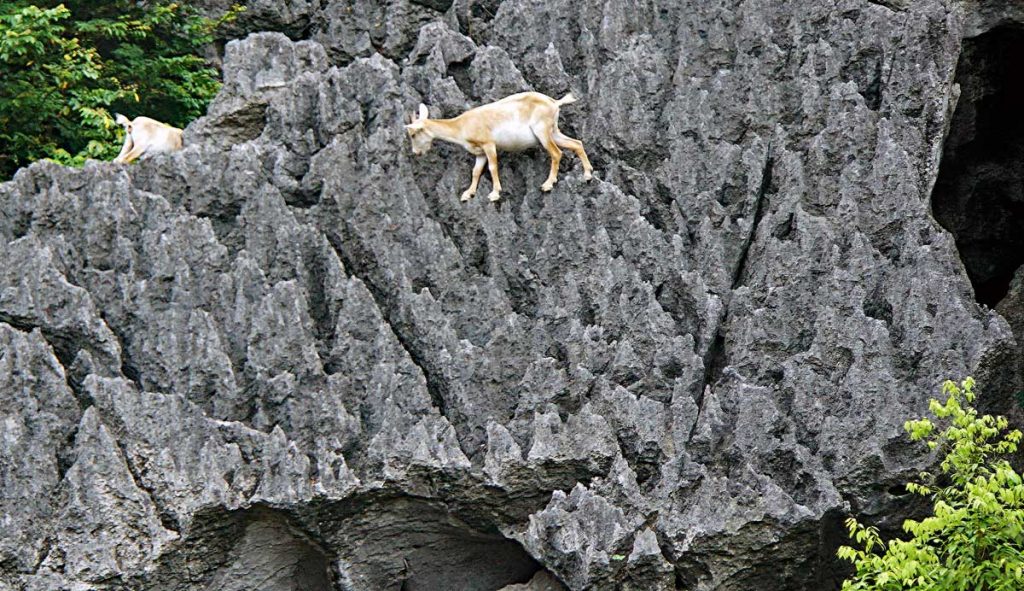
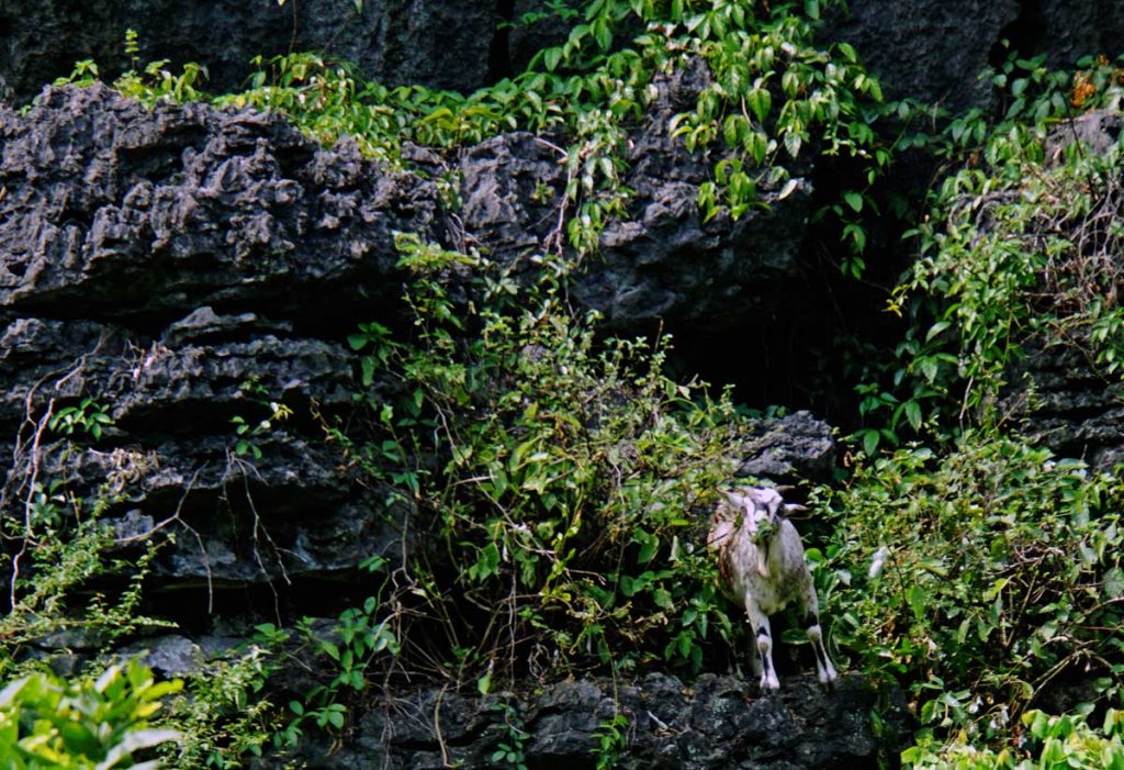
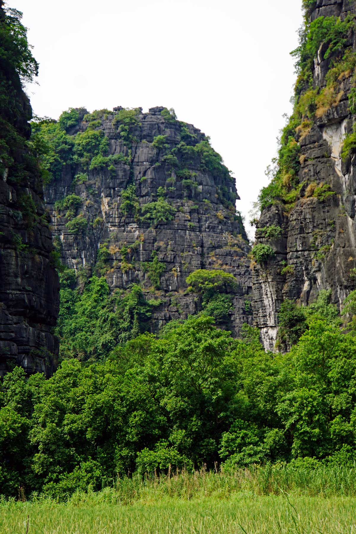
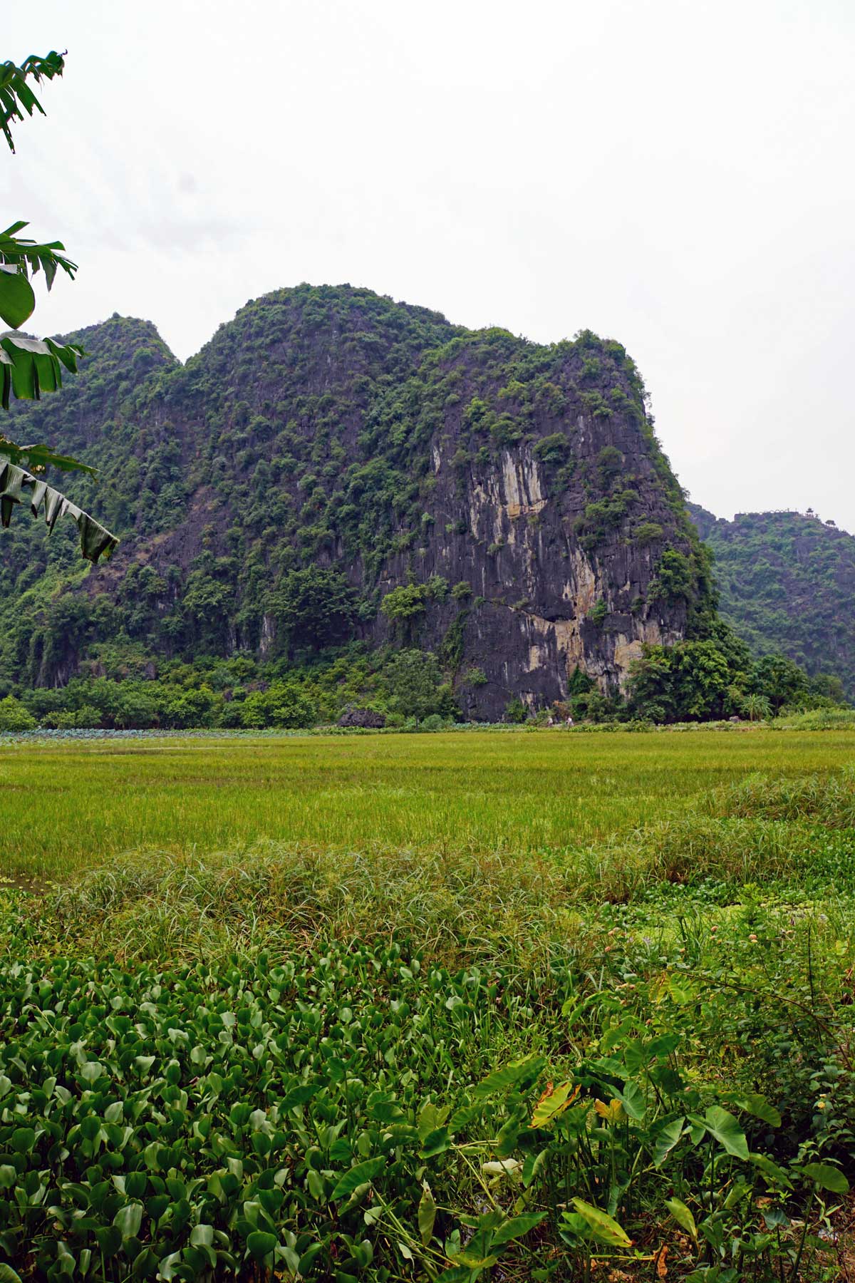
Mountain Goats by the Red River, skilled at Rock Climbing…A Mountain Goat looking at you.There is some very beautiful scenery along the Red River, limestone cliffs and green rice fields mixed in with the green subtropical vegetation.
The Red River got its name because the water is filled with silt from the fertile Red soil that is in the area. This gives the river a Reddish Brown tint.
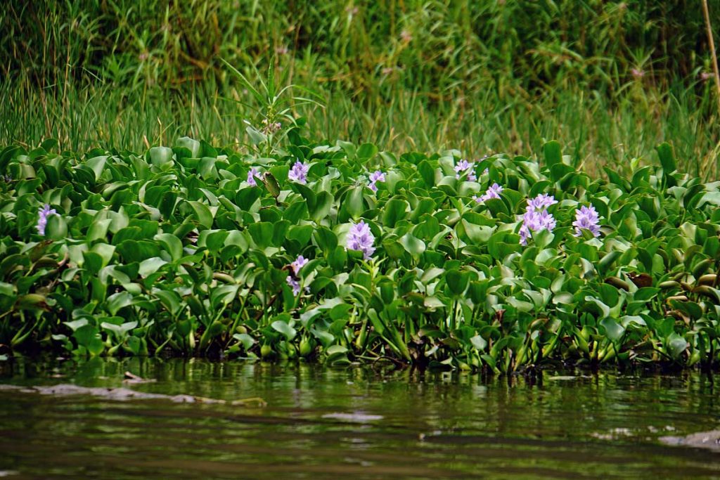
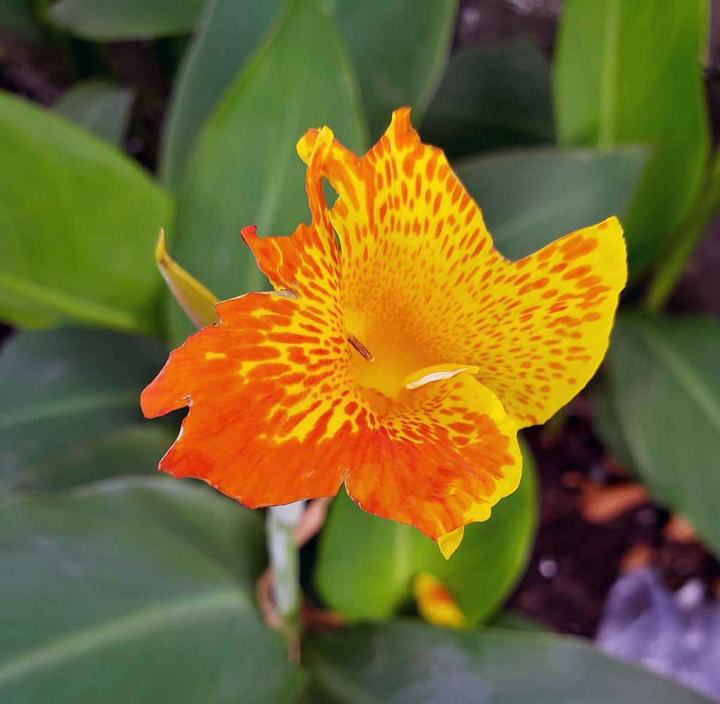
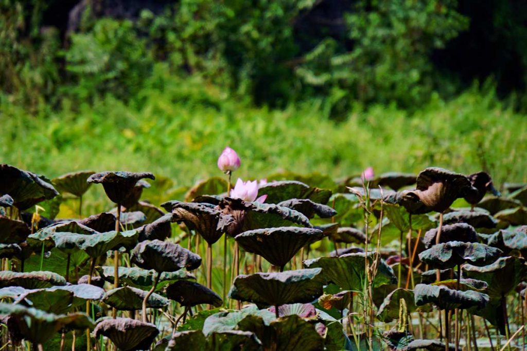
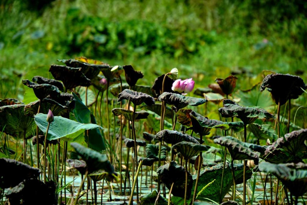
Lotus flowers are in abundant supply along the river.Lotus flowers
The Lotus flower – Nelumbo nucifera a.k.a. Indian Lotus grows “en masse” along the banks of the Red River in the Delta.
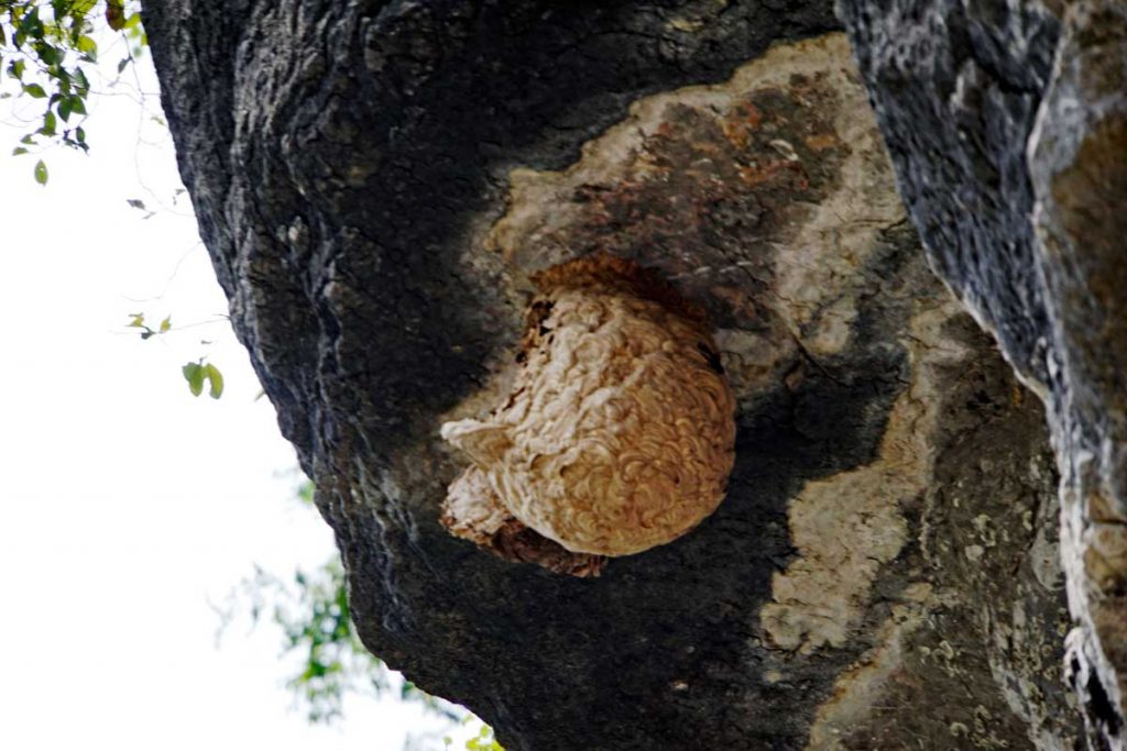
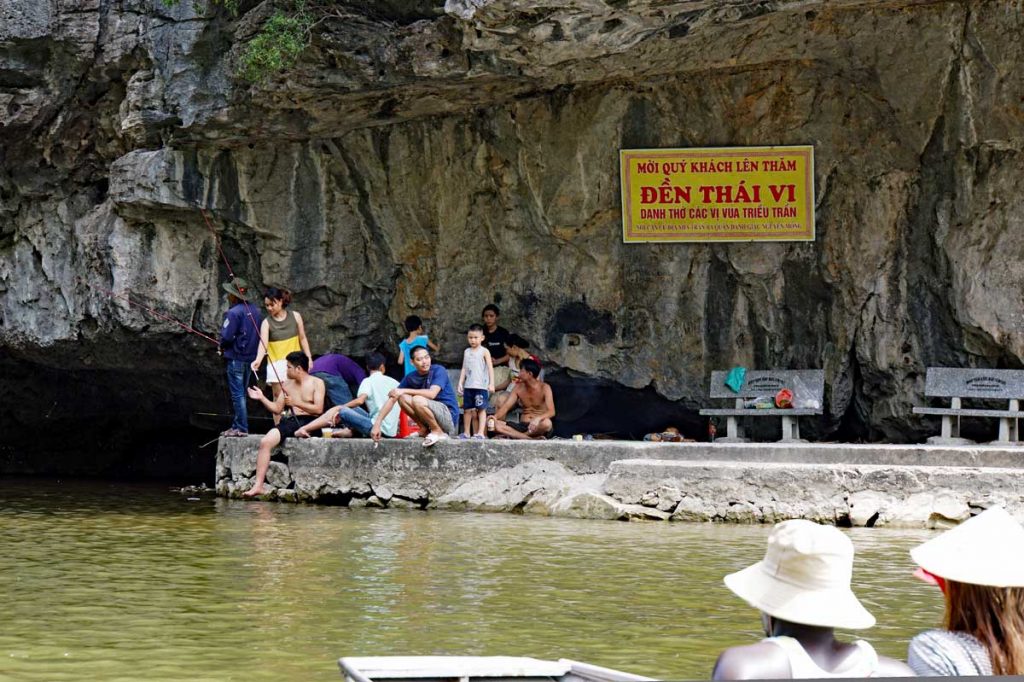
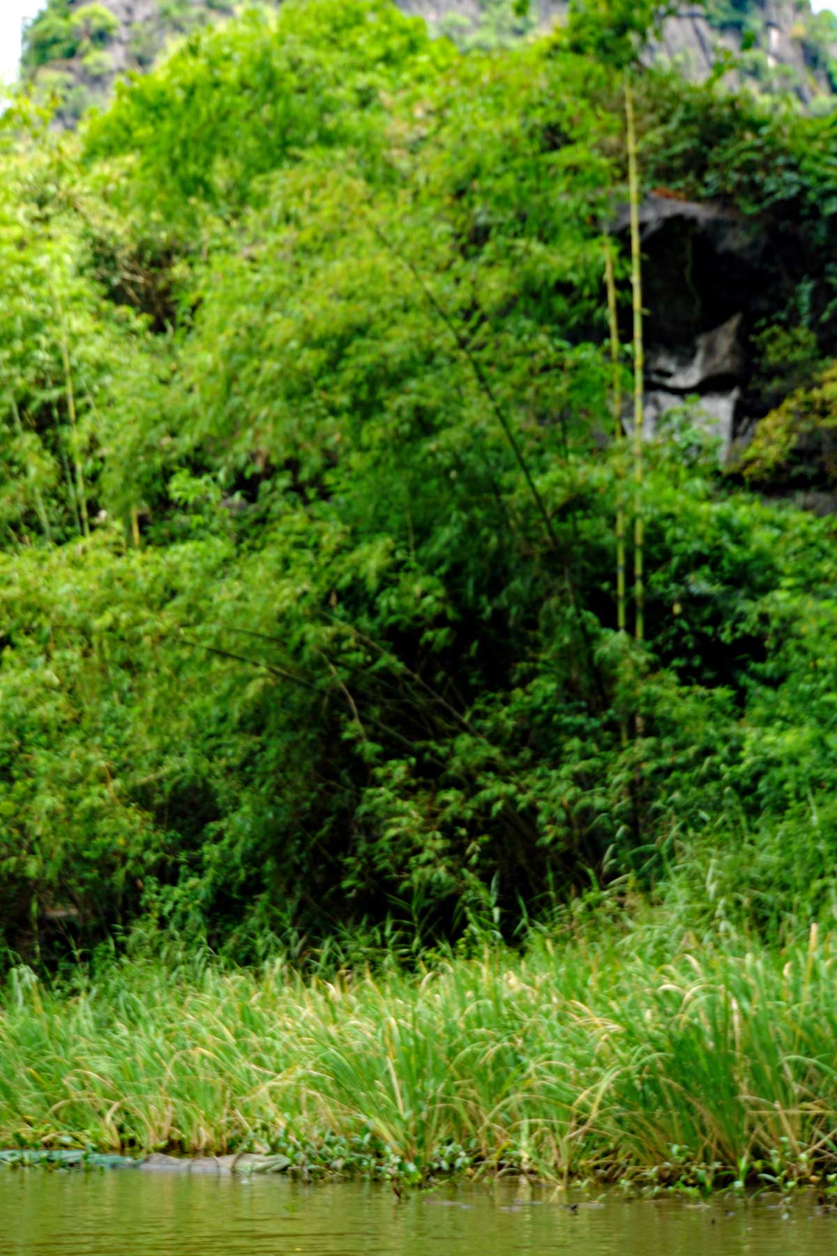
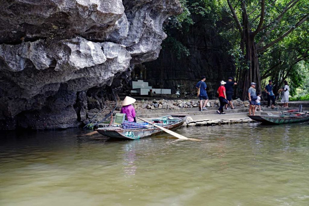
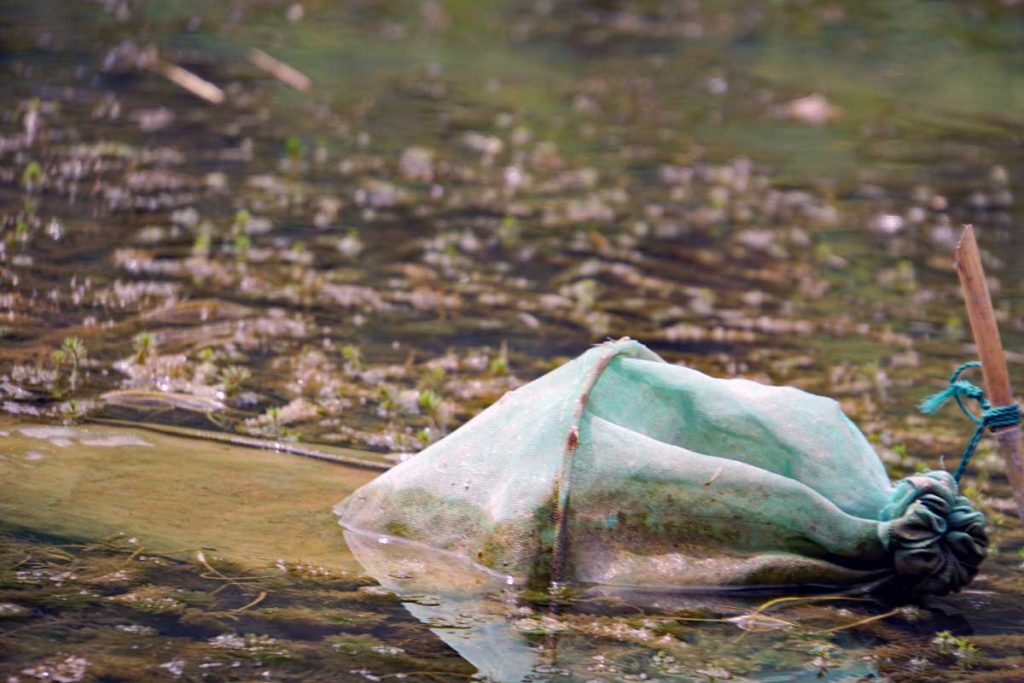
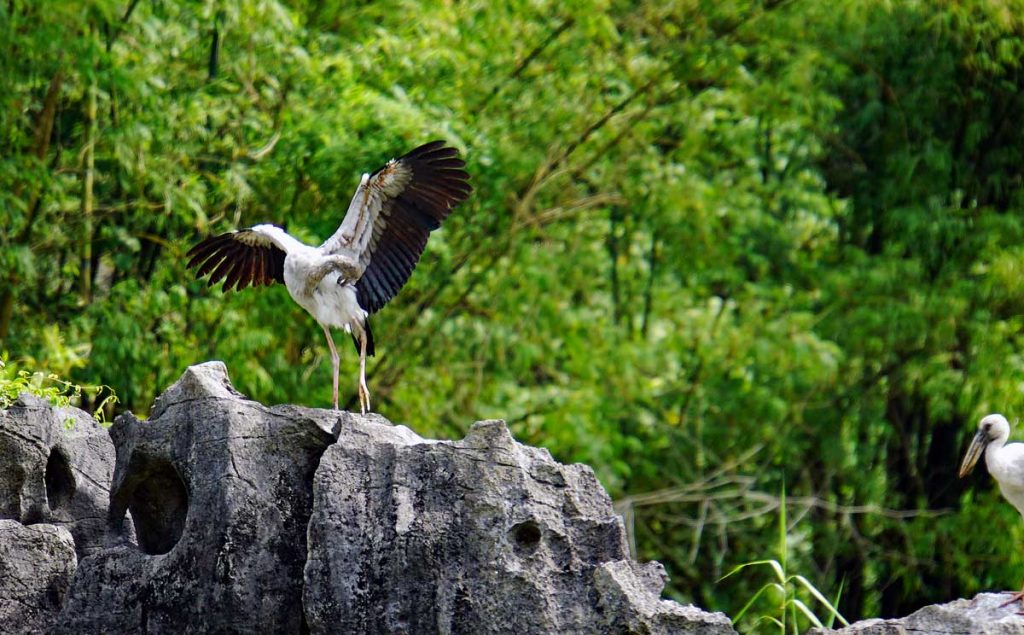
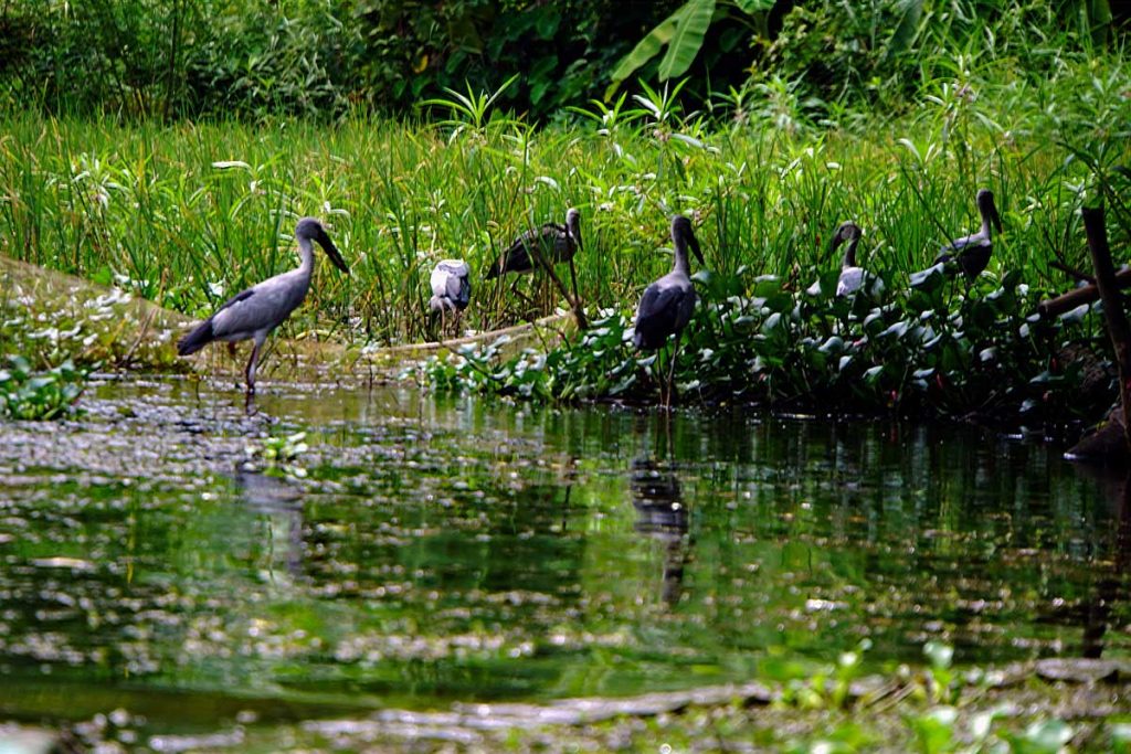
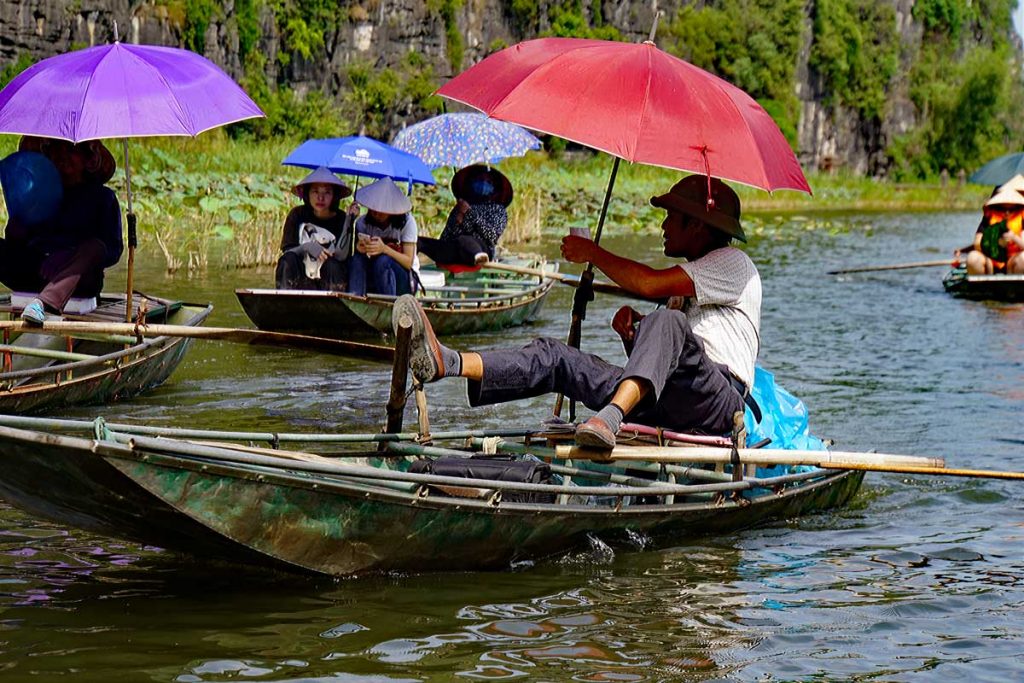
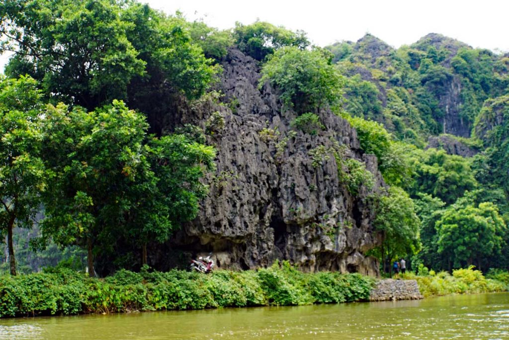
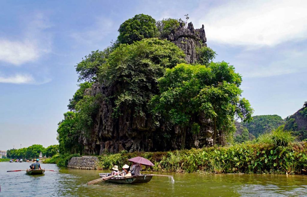
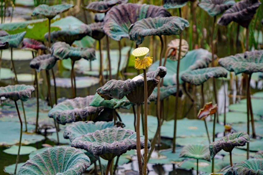
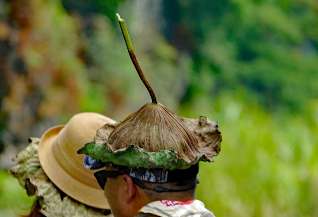
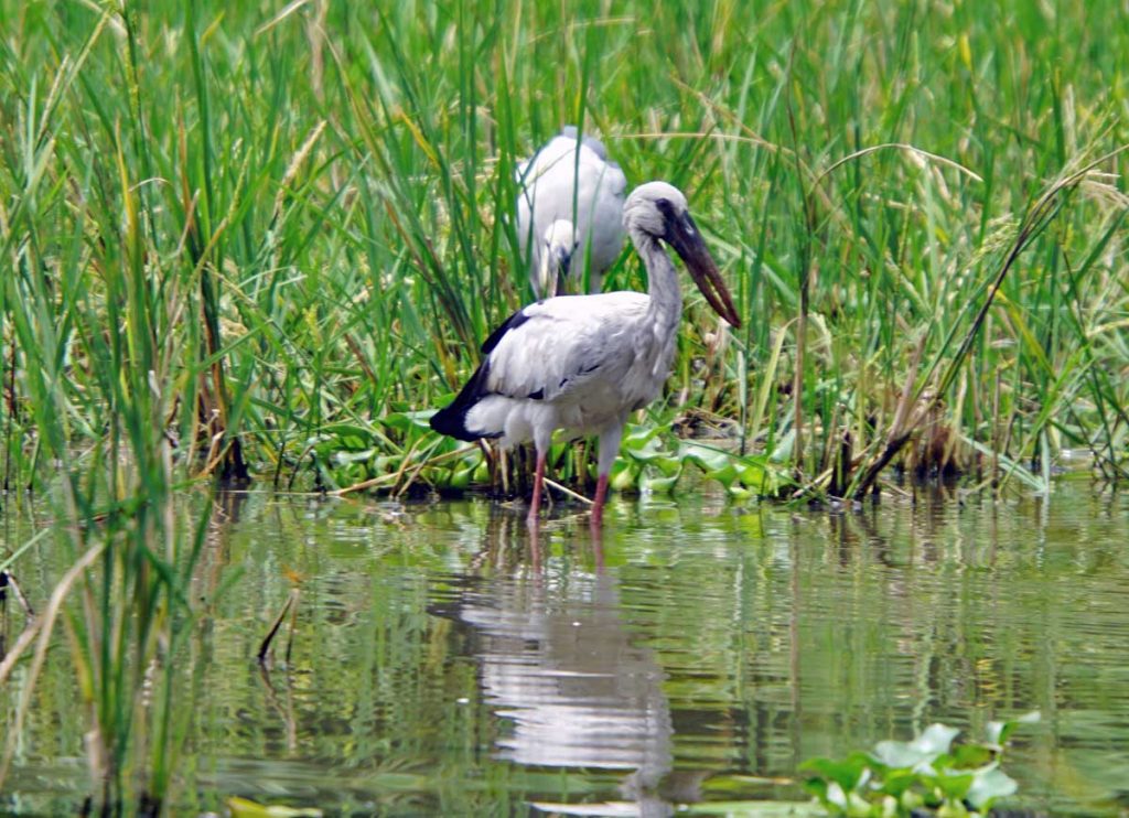
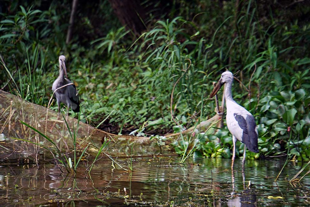
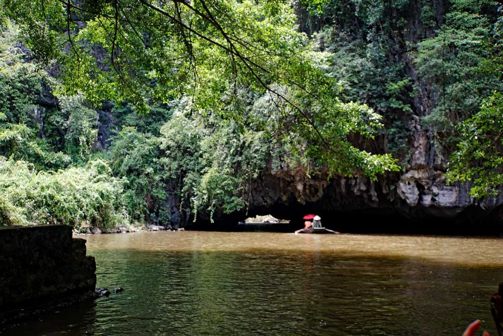
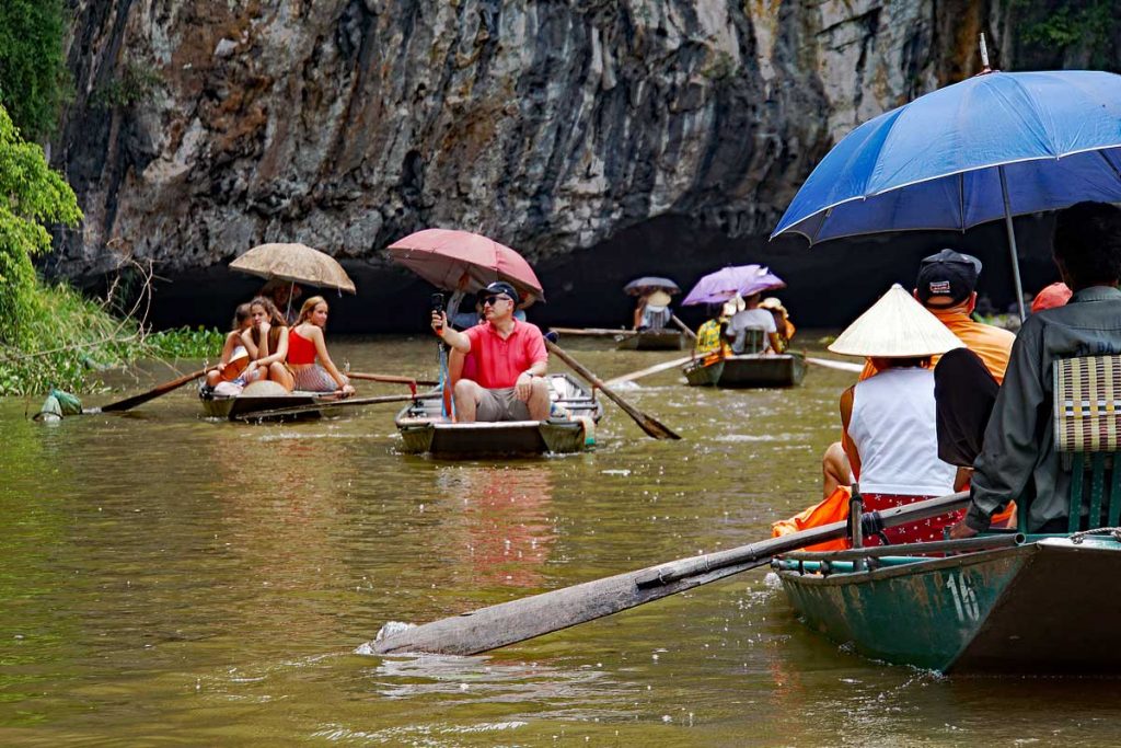
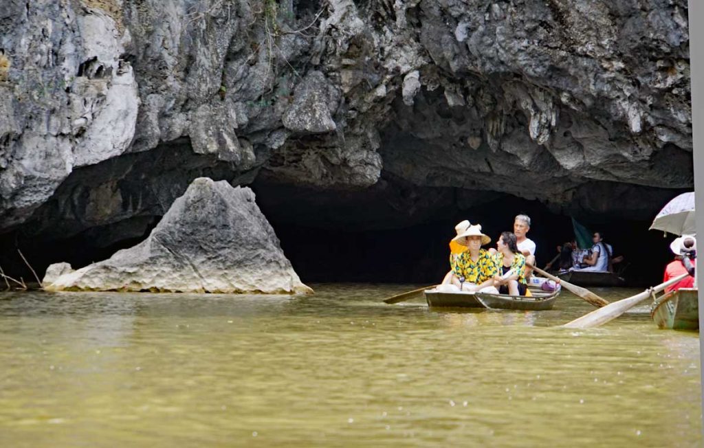
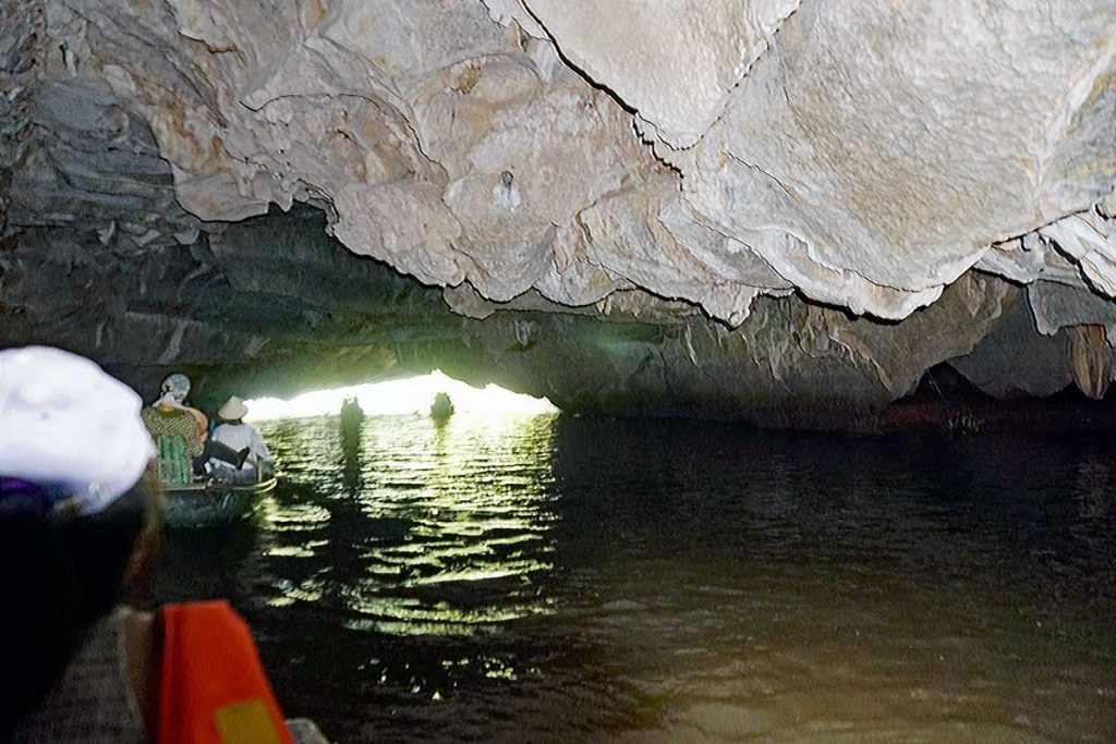
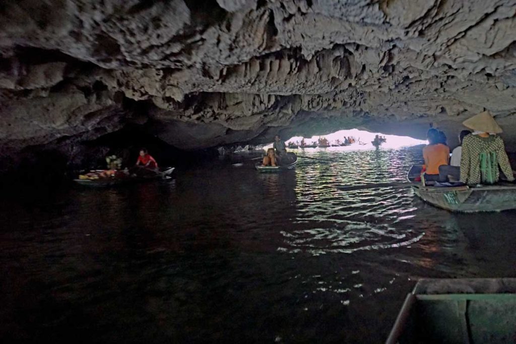
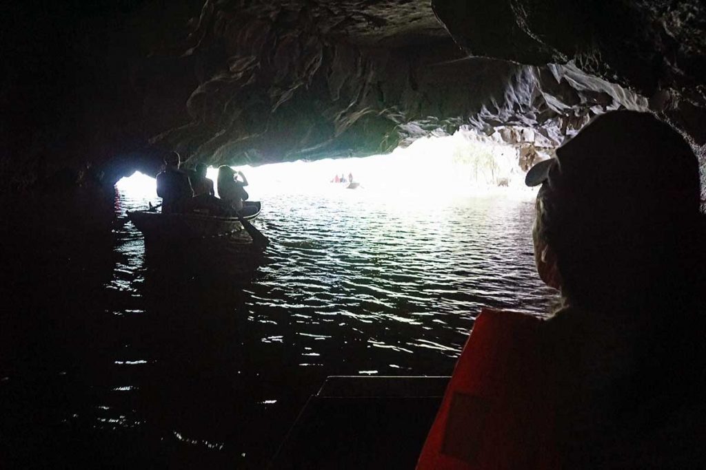
A beautiful Lotus flower.This is the seed pod of a spent Lotus flower, and this is what assures the proliferation of Lotus flowers along the river.Here is an alternative use of the leaf of the Lotus Flower.Limestone rock formations surround the river.Red River DeltaAsian Open bill Storks in the Red River DeltaAsian Open bill Storks again.One of the caves that the Red River runs through on the way out into the Sea of TonkinThe river can get crowded at times.A cave that the river has carved out.Interior cave view.Interior cave view.Interior cave view.Hole in the [cave] wall.Swallows nest outside the cave.A family out on a fishing trip on the Red River.Bamboo stand along the river.A Temple riverside in a cave.FlowersA long hoop net sits along the side of the river.Hoopnets along the river.Closeup of a Hoopnet.
Hoopnets are used by the local fishermen on the Red River. The bait sits at the end of the hoop and the fish swims through cylindrical portals that has a wide beginning but tapers to a smaller opening so the fish can not find its way back out. The nets are generally situated with the wider opening facing downstream to prevent clogging the net with silt.
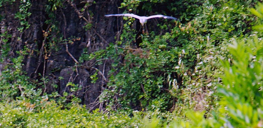
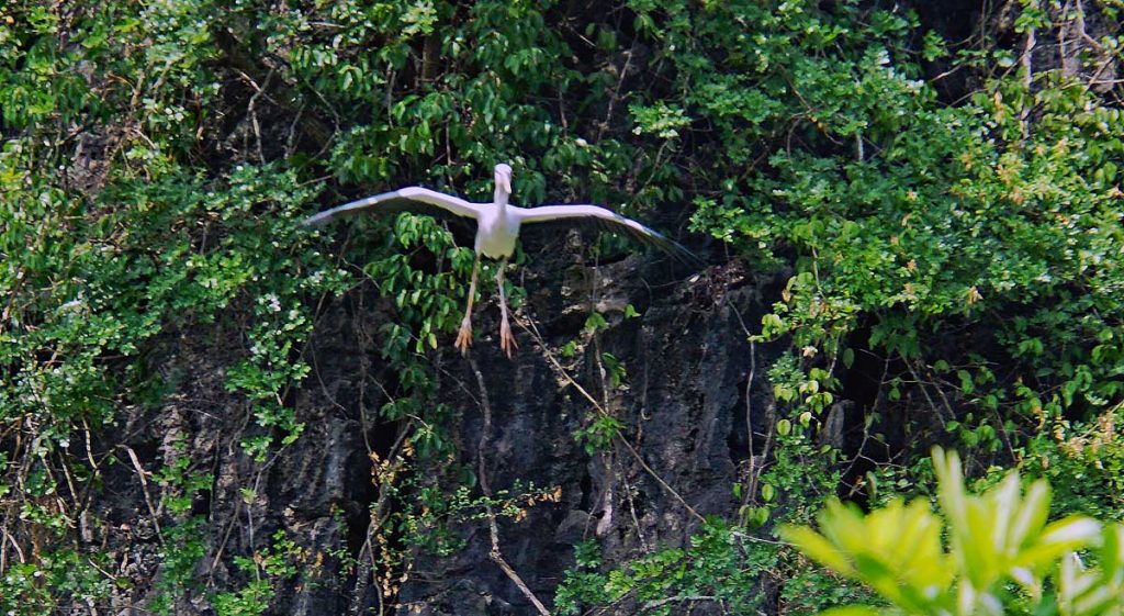
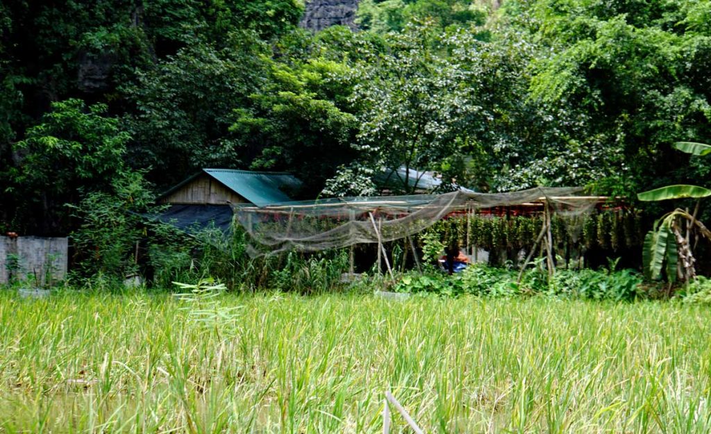
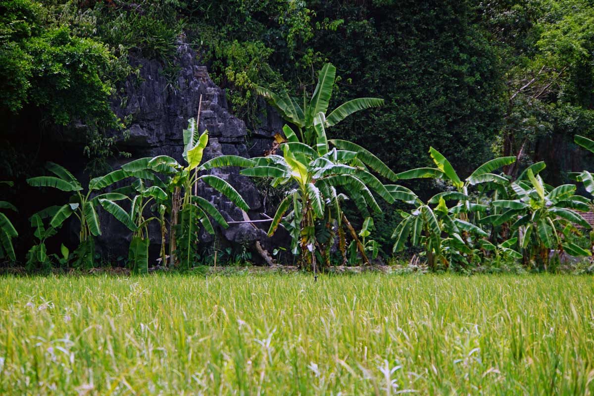
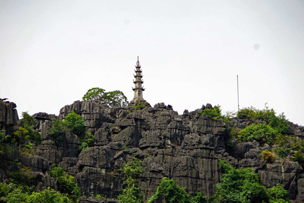
Asian Open bill Stork taking flight.Asian Open bill Stork on approach.Asian Open bill Stork cleared for landing.The Stork has landed.A homestead along the river.Banana plants at the homestead.Slowly rowing down the river.Foot rowing style study.Limestone formations line the river.Hang Múa with a viewing area on top of the mountain. You can climb 500 steps up to the top and be rewarded with great views of the river and the Delta.
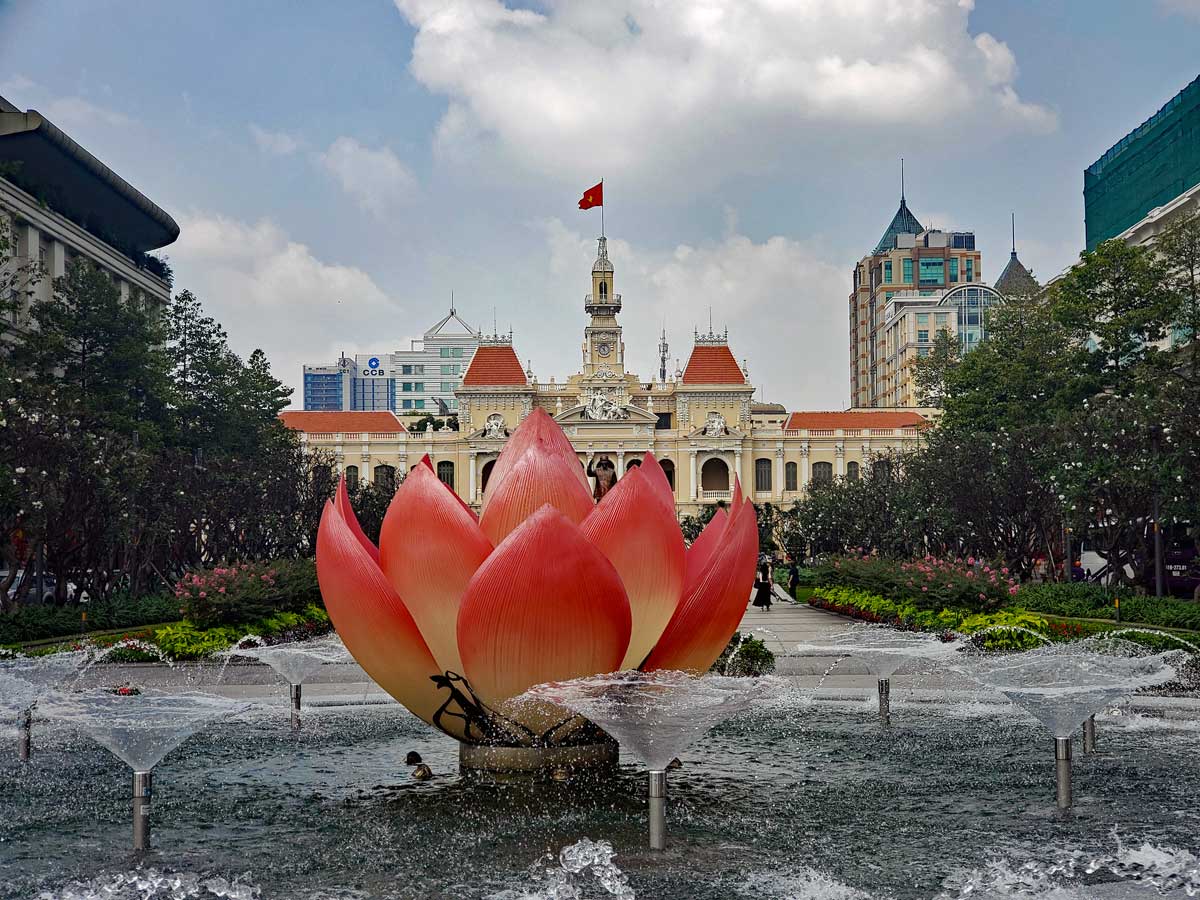
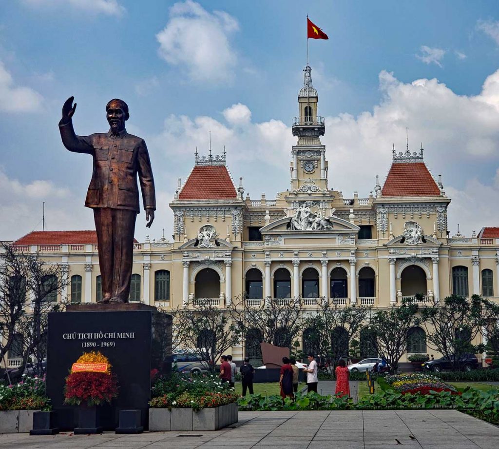
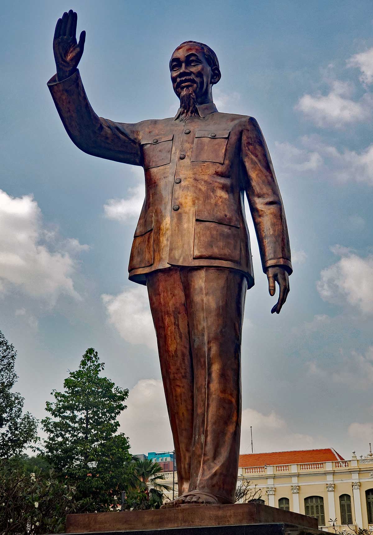
Ho Chi Minh Square is located in central Saigon, District 1. It is in front of Ho Chi Minh City Hall.
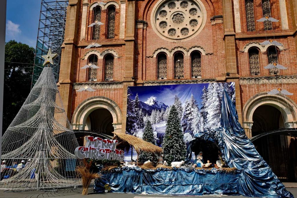
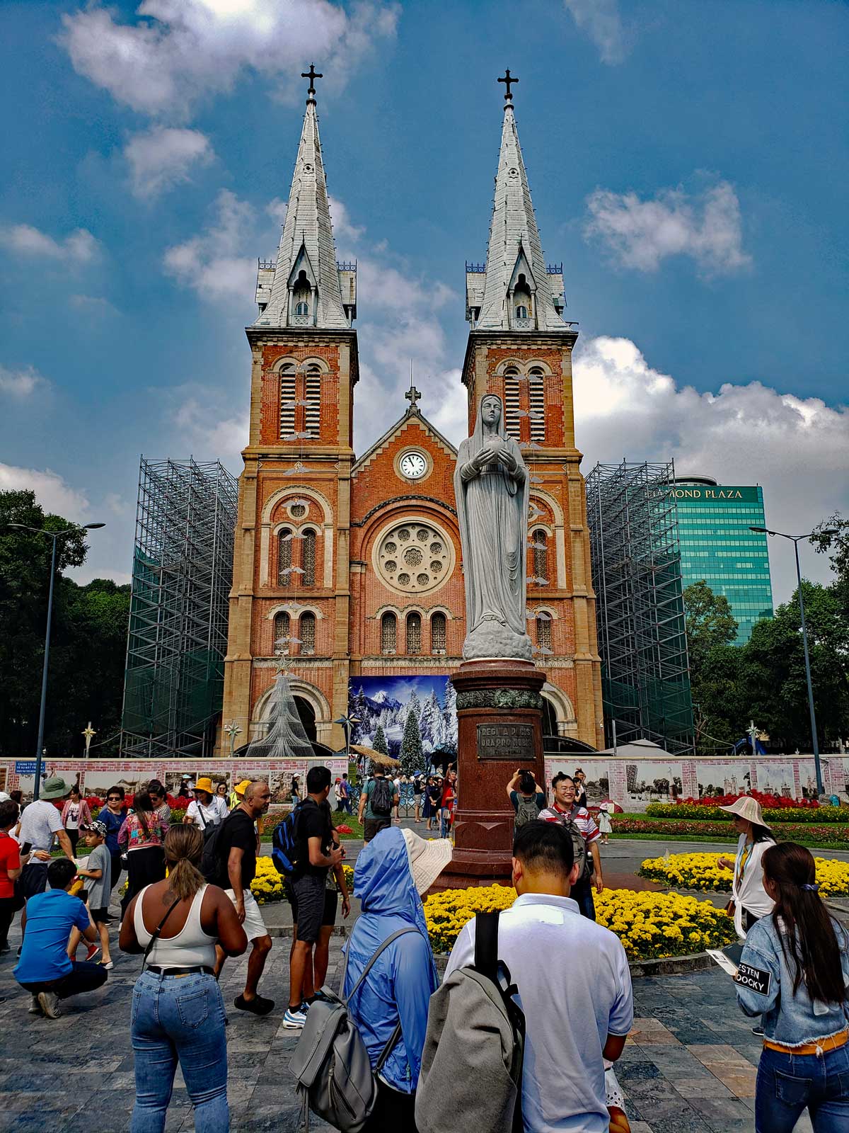
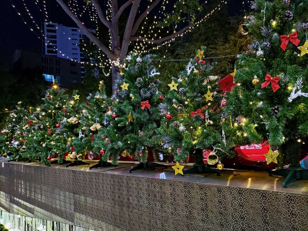
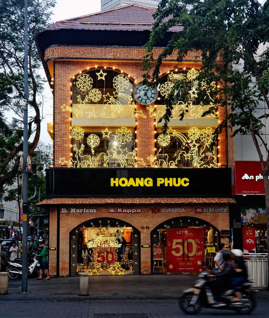
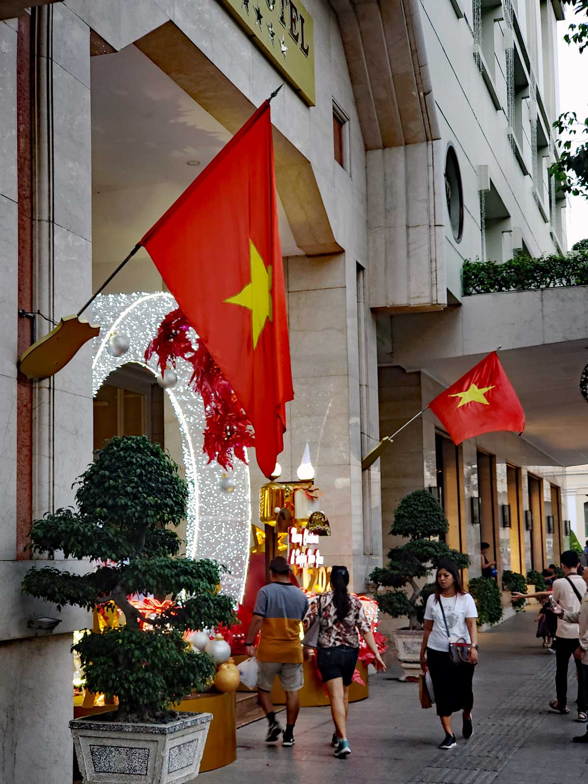
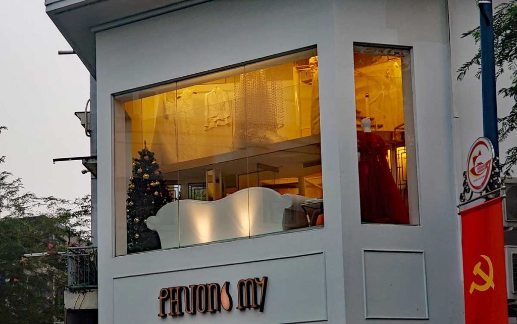
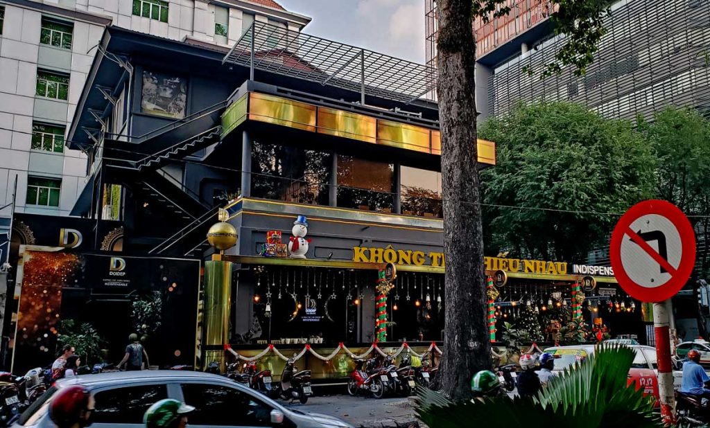
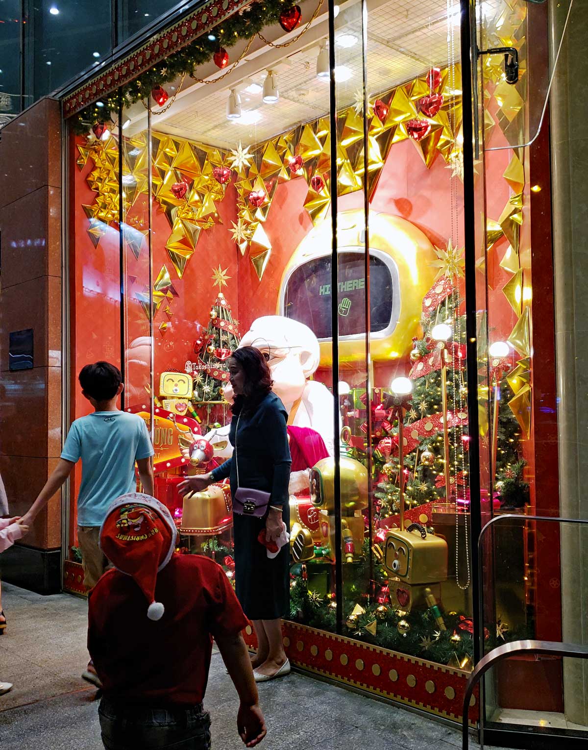
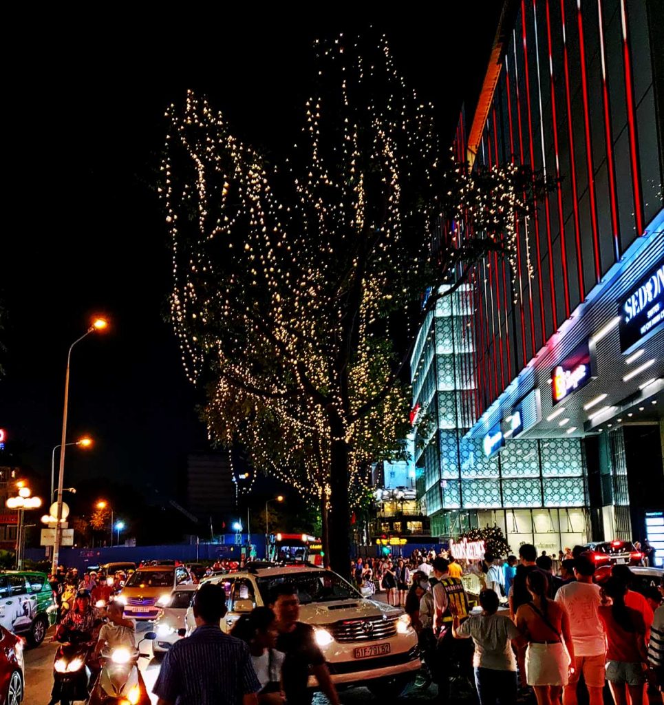
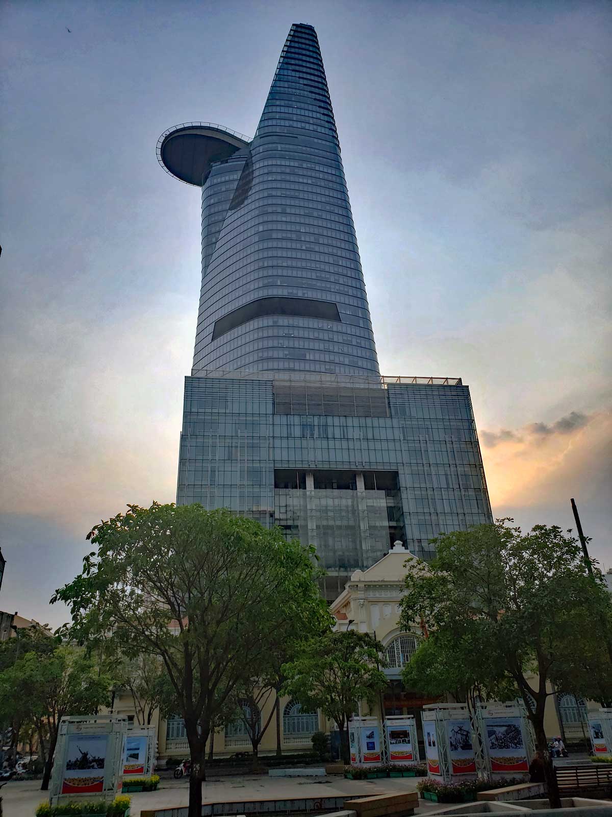
Ho Chi Minh with City Hall in the background.Uncle HoChristmas display at Notre Dame de Saigon.Notre Dame de SaigonTan Dinh church in Saigon.Christmas treesHoang Phuc decorations.Hotel at Ho Chi Minh SquareA store window display.A restaurant with a snowman.A popular Santa window.Trees are lit up.Bitexco Financial Tower
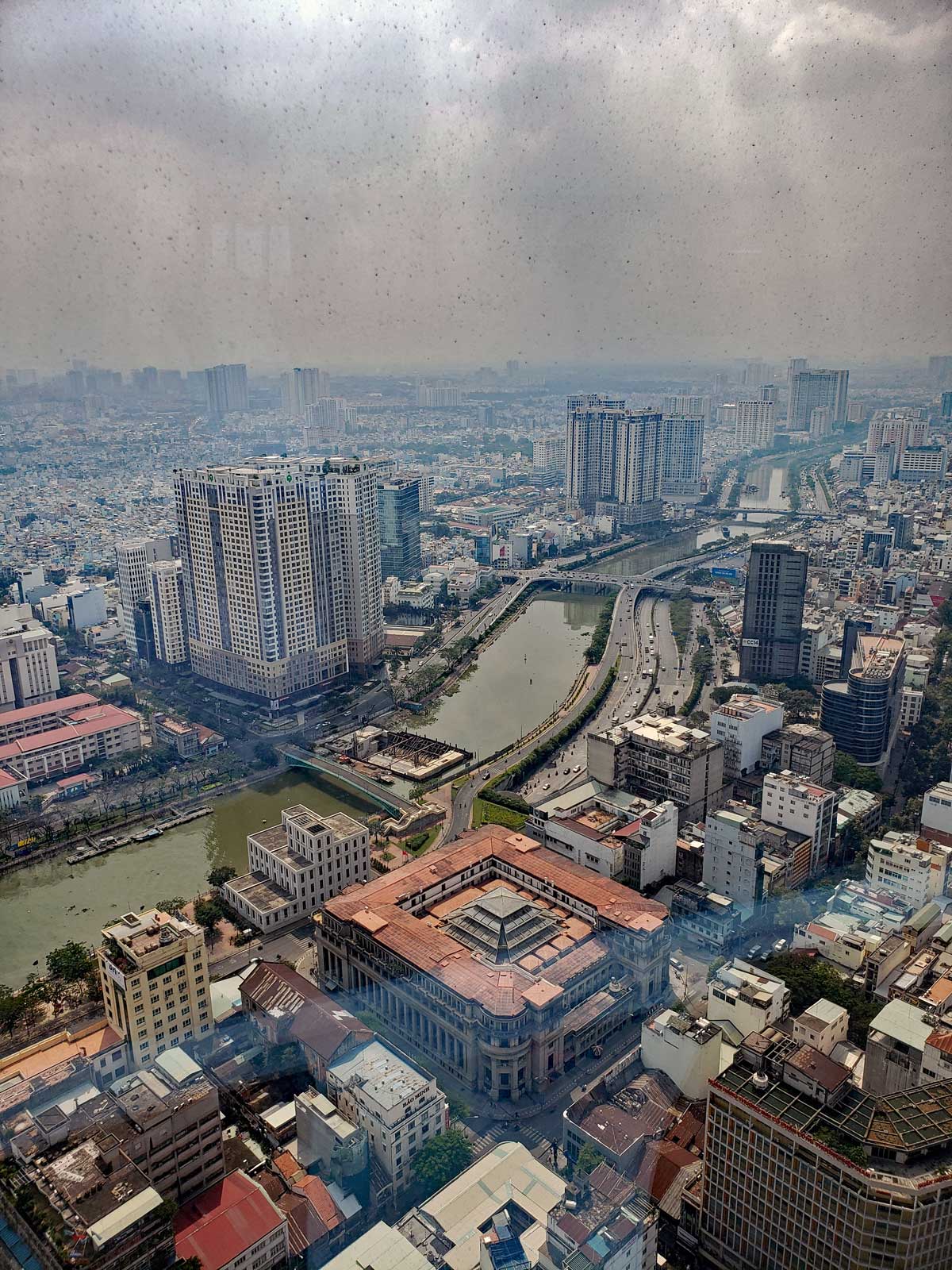
Bitexco Financial Tower is the second tallest building in Vietnam at 264m at the top of the spire. Viet Nam’s tallest building is Hanoi’s Keangnam Hanoi Landmark Tower at 349m.
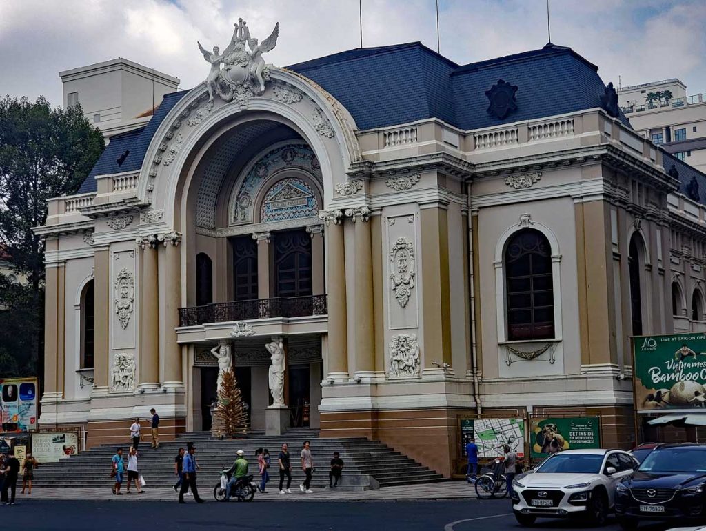
View from the tower.Saigon Opera House.
Saigon Opera House opened on January 1 1900. It is an example of French Colonial Architecture.
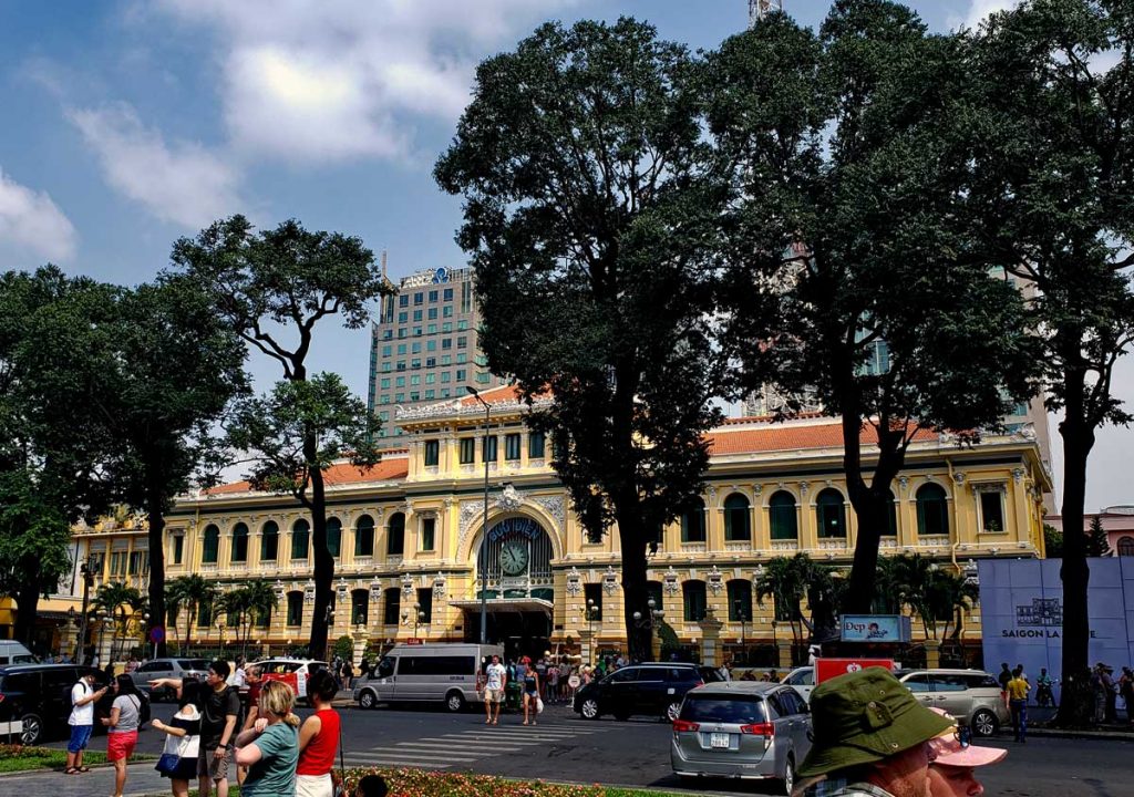
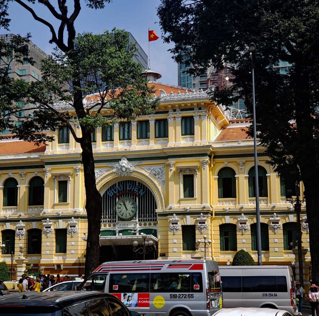
Saigon Central Post Office.Saigon Central Post Office
Saigon Central Post Office opened in 1891 during the French rule.
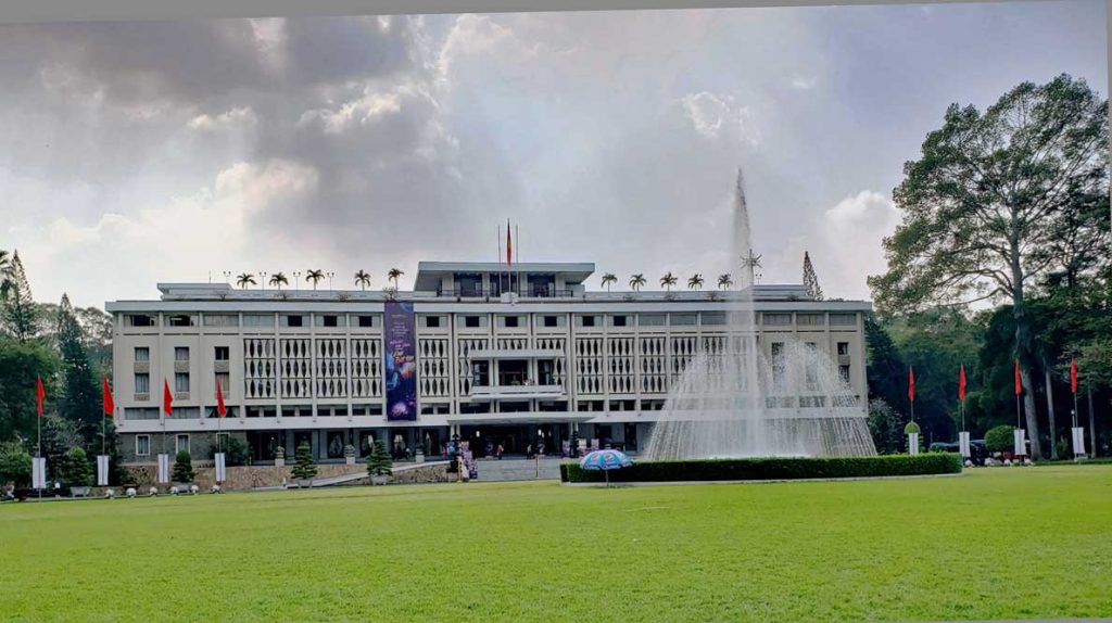
Saigon Independence Palace
Saigon Independence Palace, or as it was first called, Reunification Palace, was finished in 1966. It replaced the Norodom Palace that used to be home to the French Governor. It was the home of the South Vietnamese president until the fall of Saigon in 1975.
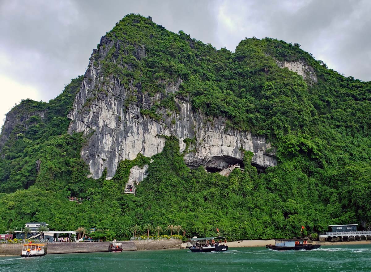
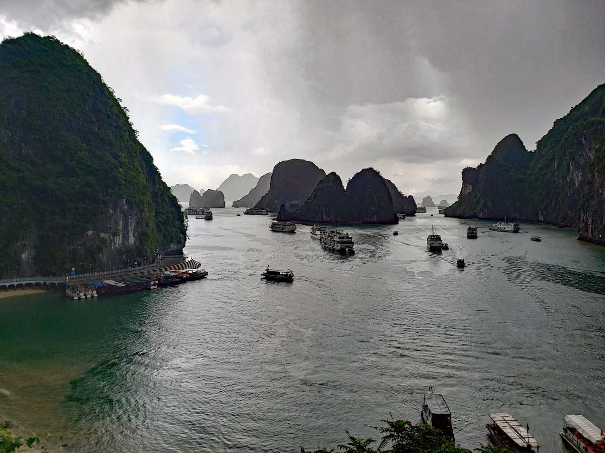
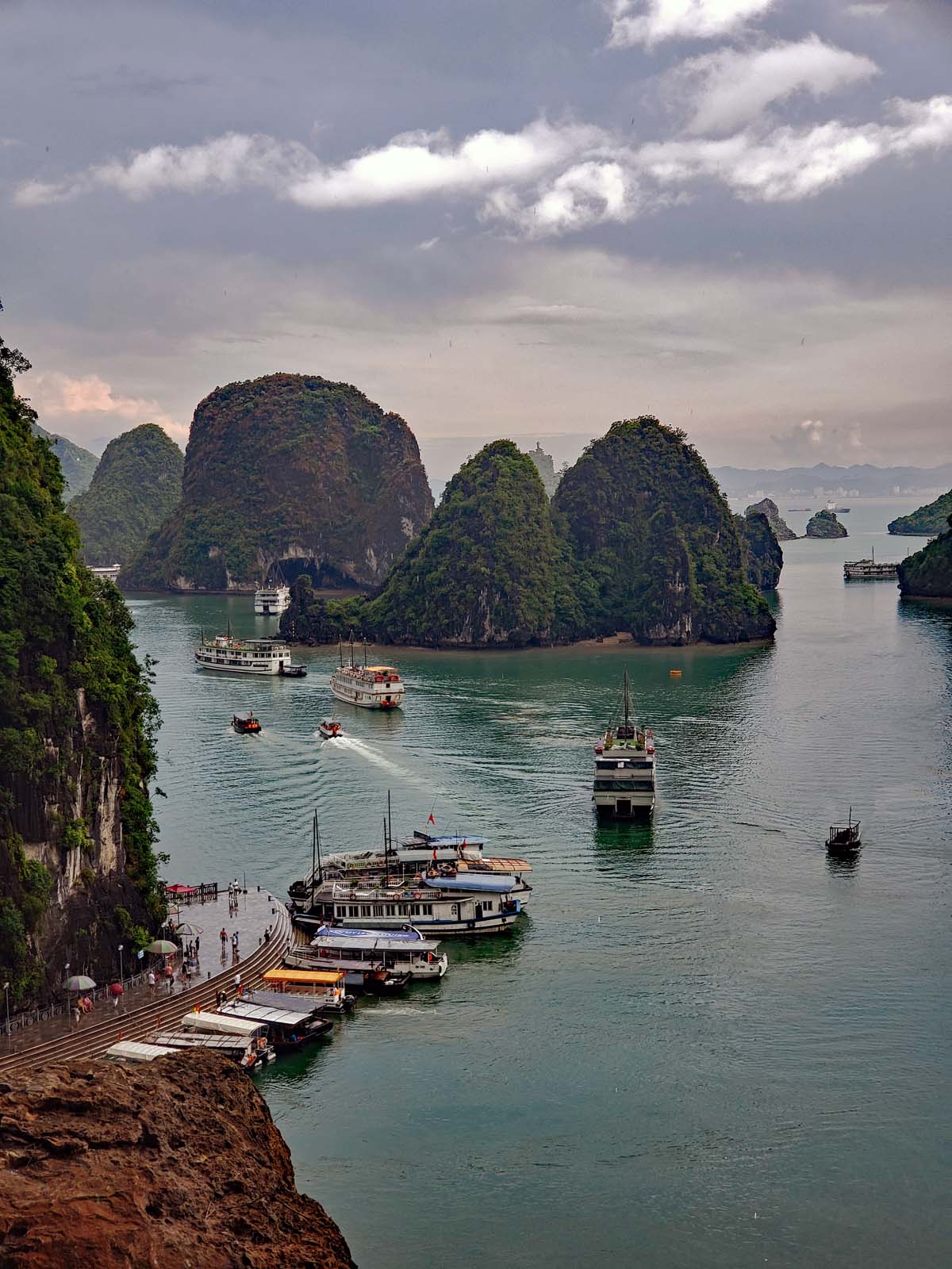
Ha Long Bay has many caves on different islands, one of the biggest cave systems is Hang Sung Sot on Bo Hon island..
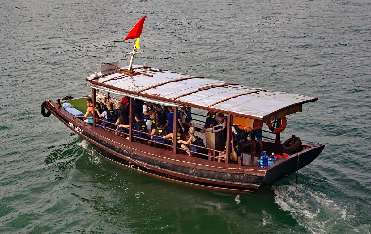
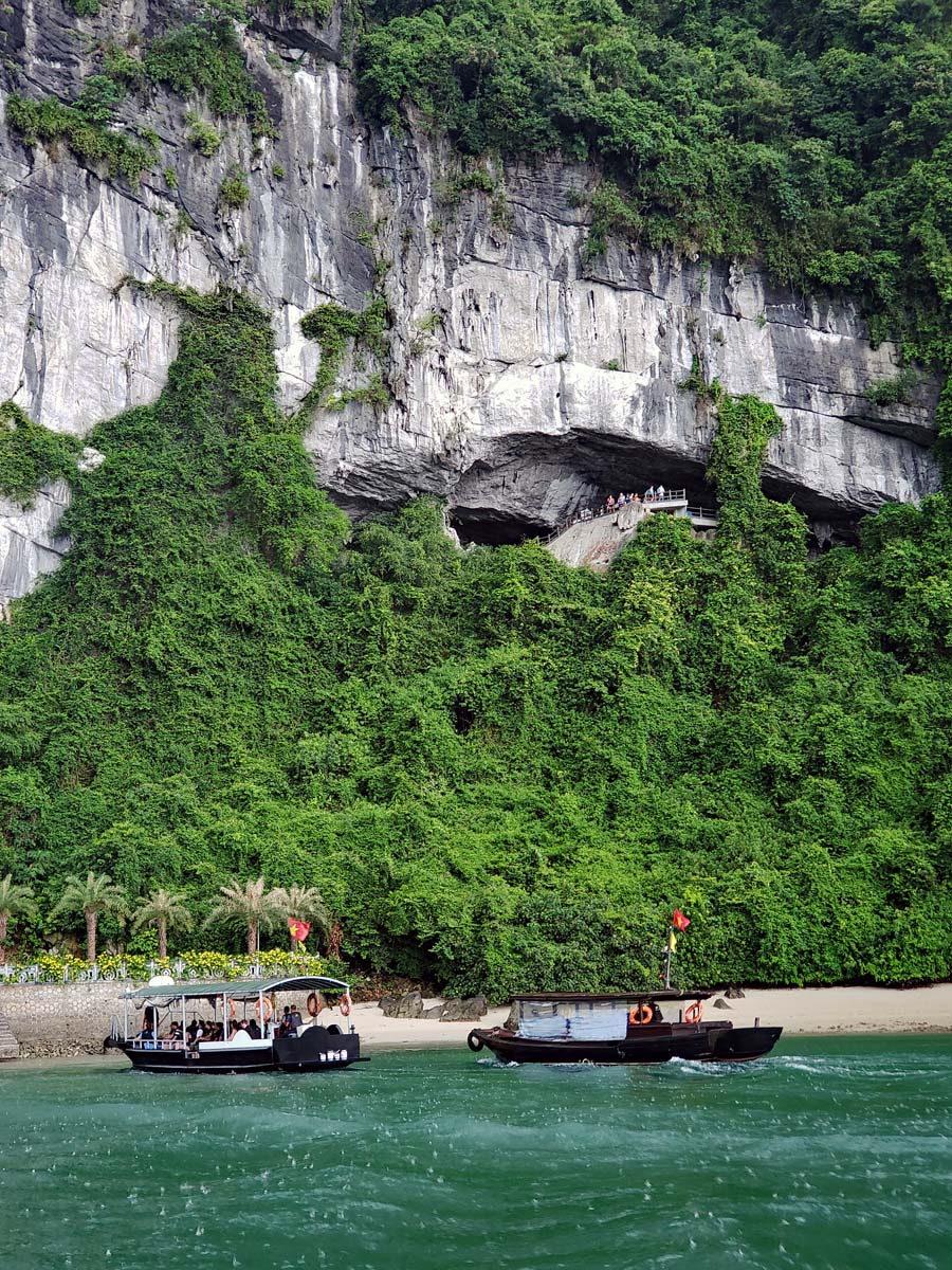
A tender will take you to the landing pier for the cave visit.
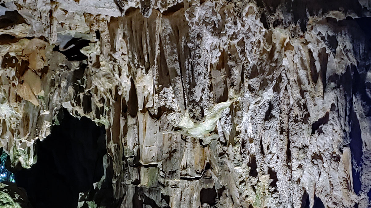
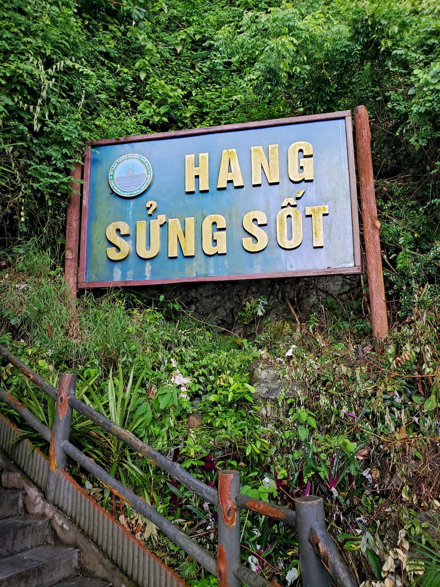
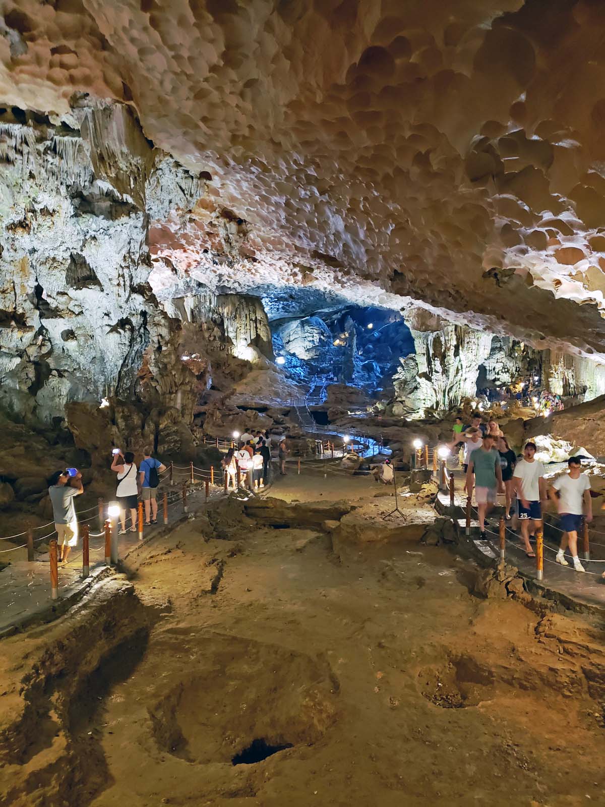
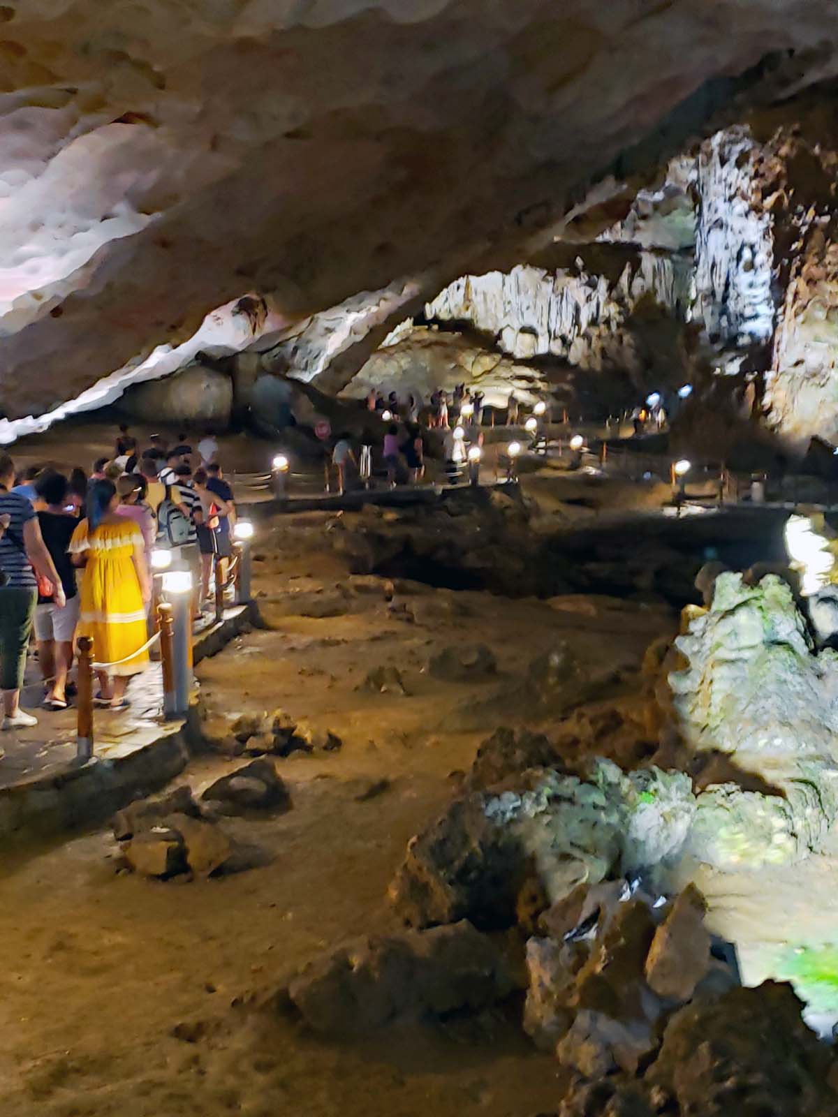
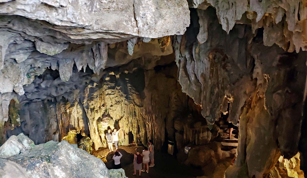
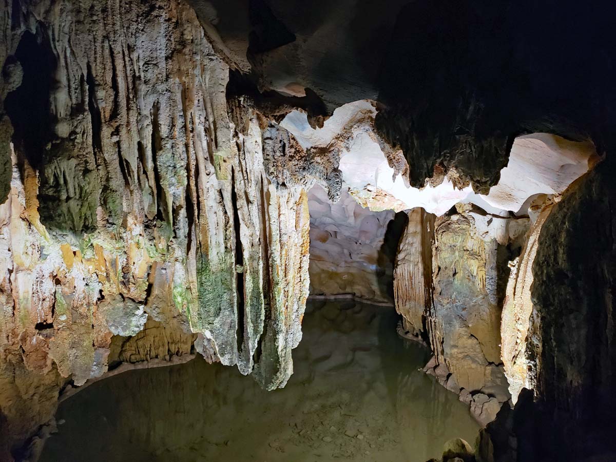
Hang Sung Sot cave on Bo Hon island was discovered by French explorers in 1901 and they named it “Grotte des surprises-the surprise cave”sin French. The name persists, but now in Vietnamese. The cave system has two chambers and it is outfitted with easy to walk trails and steps, so it is mostly easy walking after you climb up the stairs from the pier to reach the entrance to the caves.
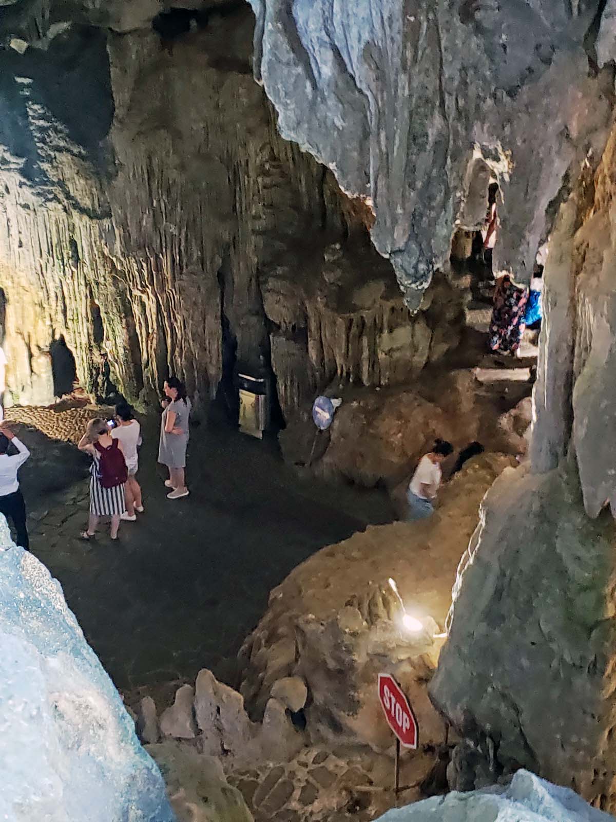
Hang Sung Sot cave harbor with the pier.Tenders carrying visitors to the cave coming into the harbor during a light rain.Hang Sung Sot cave sign by the steep staircase leading up to the entrance of the cave.Just inside the entrance to the cave system.The big cavernous hall of the first cave is called the waiting room.
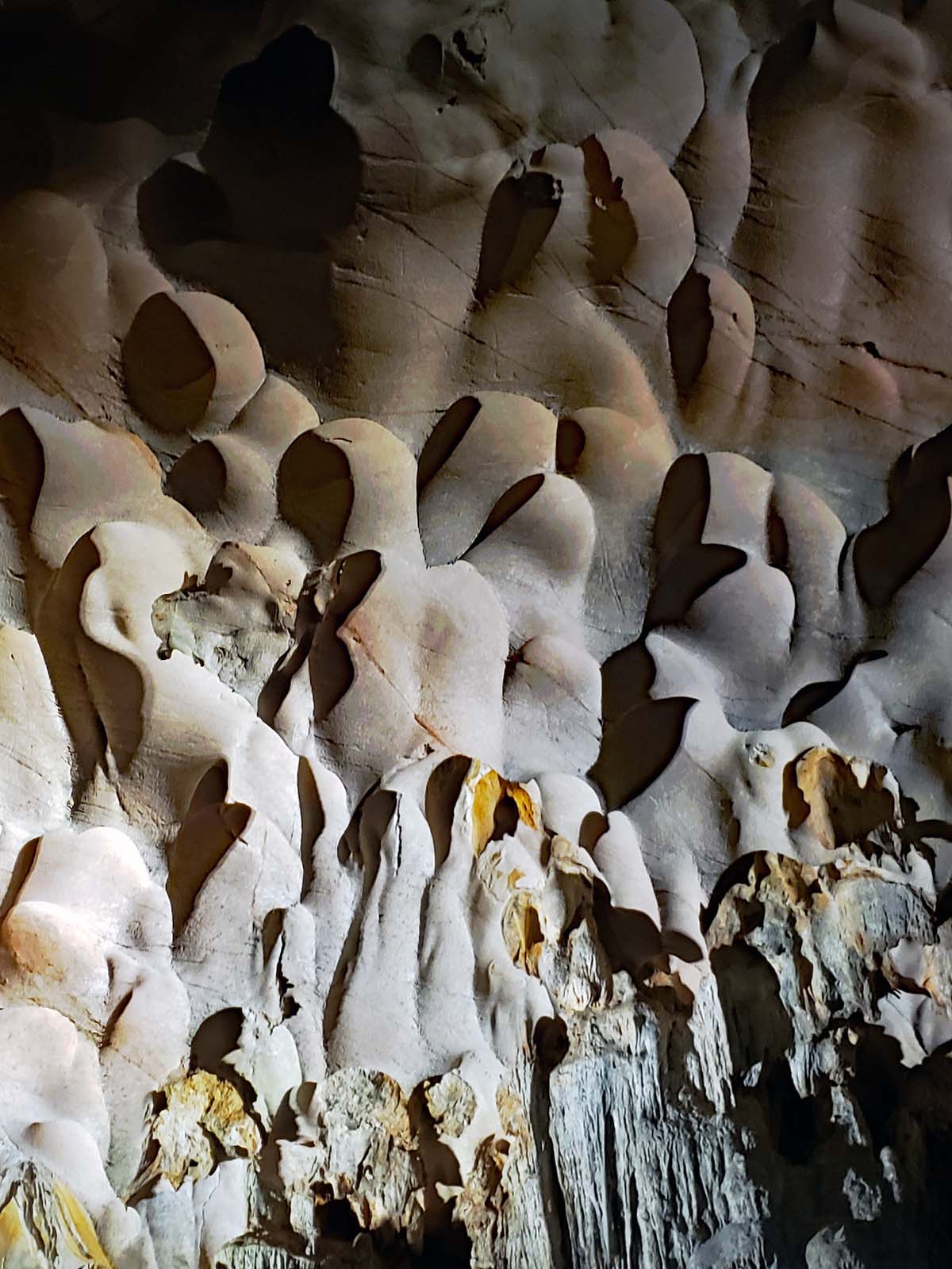
The caves are full of both stalactites (extends from the cave ceiling downward) and stalagmites (from the bottom up). There are also formations called flowstone which is a more sheet like formation of calcite and other minerals left when water flows down the walls or on he floor of the cave.
The caves are quite large and they are full of formations such as stalactites from the cave ceiling and stalagmites from the bottom up.Bubble formations in the cave.Photo op.The busy harbor area at the Hang Sung Sot cave.Pier at the Hang Sung Sot cave.
Bangkok, the capital of Thailand, was made the capital on April 21, 1782. It replaced Ayutthaya as the capital. Ayutthaya is located about 85km North of Bangkok, about an hour drive. Today only the ruins remain of the former capital. The first kingdom in Thailand was known as Sukhothai. It was founded in 1238 and was the most powerful under King Ramkhamhaeng in the 14:th century. Sukhothai later became part of the Kingdom of Ayuttaya which ruled Thailand and most of S/E Asia including Laos and Cambodia at the time. The Kingdom of Ayutthaya also later came to include the Northern Kingdom of Lanna.
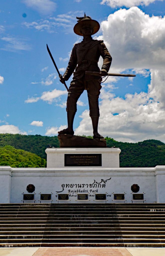
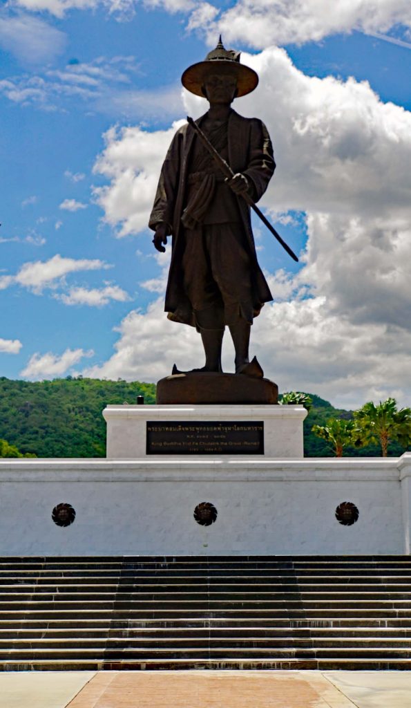
In 1765 the Kingdom of Ayutthaya was attacked by Burma and the two kingdoms were at war until the Burmese had to withdraw to fight a Chinese incursion into Burma by the end of 1767. The Thai King, Taksin could then regroup, regain control of the country and form a new capital, Thonburi. The successor of King Taksin, General Chakri later moved the capital to Bankgok and became King Rama I.
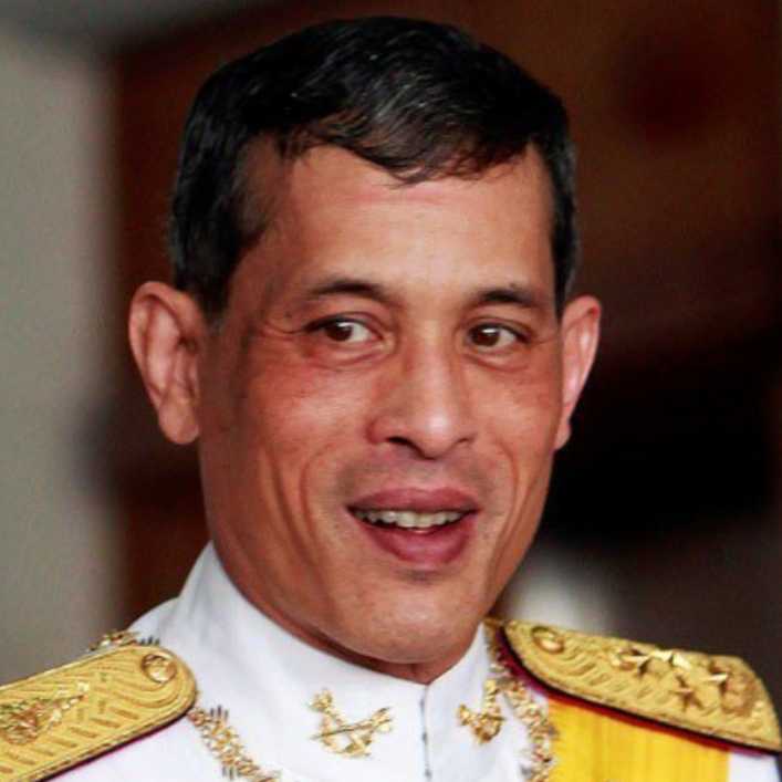
Statue of King Rama I (1782-1809) in Rajabhakti Park.Maha Vajiralongkorn, King Rama X
The house of Chakri still rules the Kingdom of Thailand and today it is through the ancestor of King Rama I, Maha Vajiralongkorn, known as Rama X. Thailand was named Siam until 1937 when the name was changed to the Kingdom of Thailand.
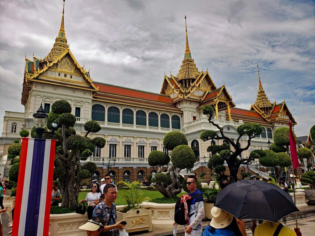
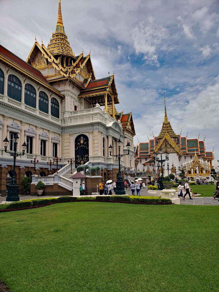
Grand Palace in Bangkok.
Home of the Kings since 1782, Grand Palace is a sprawling compound that also used to house the King’s court and his majesty’s government as late as 1925.
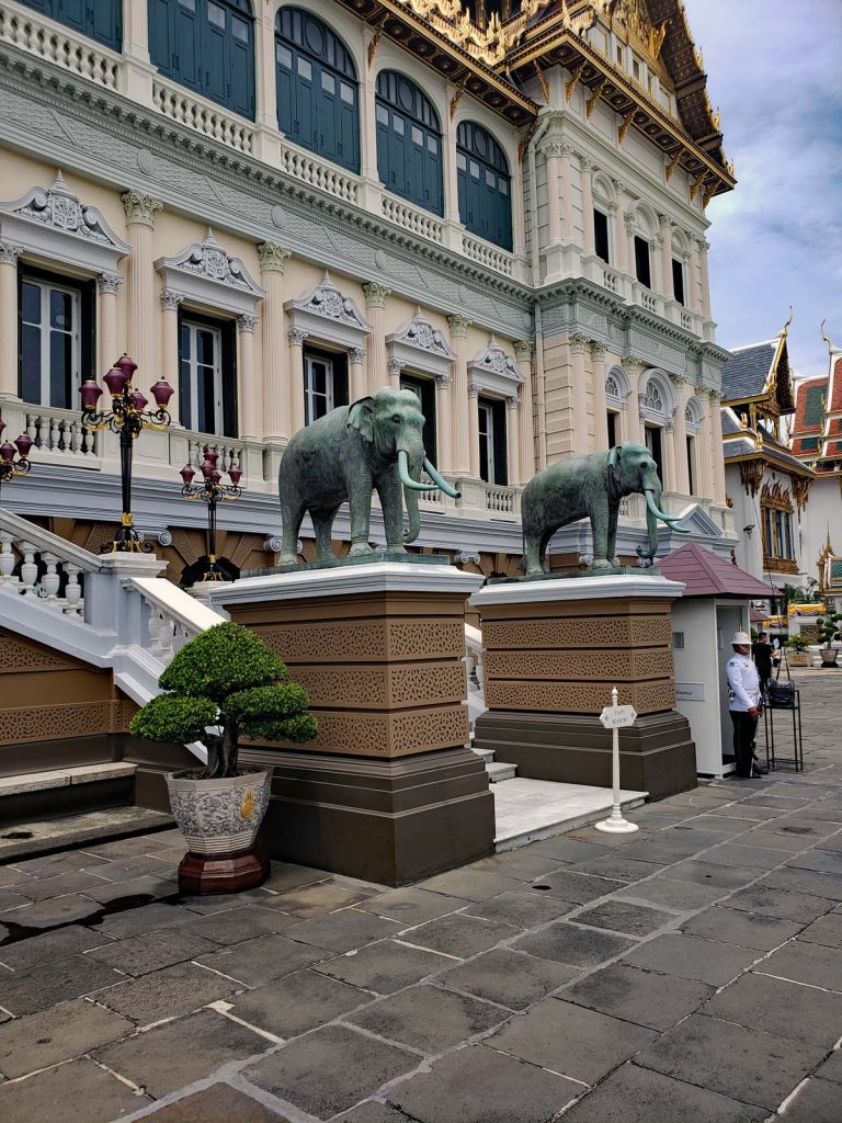
Grand PalaceThe entrance to the Grand Palace with the guard.
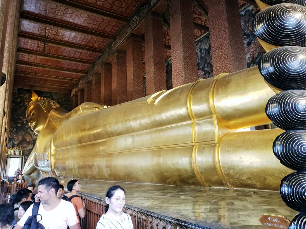
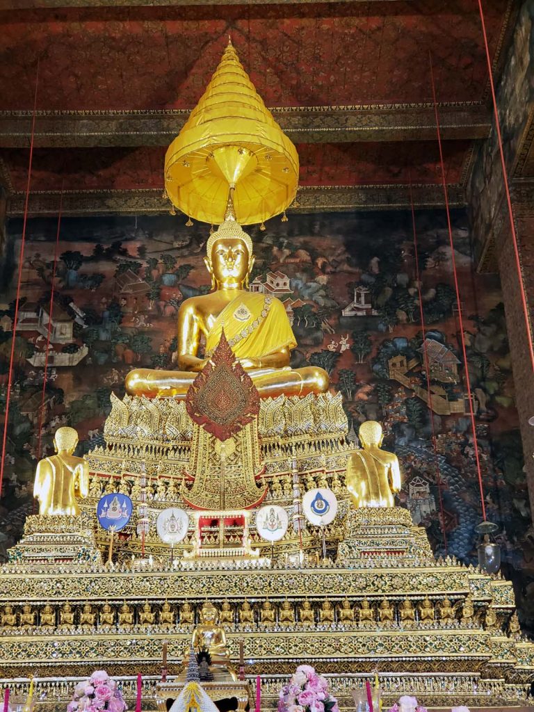
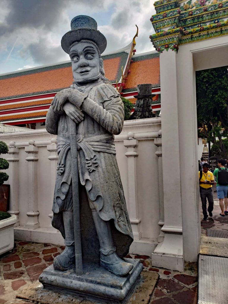
The temple “Wat Pho”, or as it’s official name is “Wat Phra Chetuphon Wimon Mangkhalaram Rajwaramahawihan” is located just South of the Grand Palace and is also known as “the Temple of the reclining Buddha”. This temple is one of the temples on a list of six Royal temples that are of the highest class of the Royal temples. The temple has the most Buddha images of any temple in Thailand and one of them is the 46m long reclining Buddha. It is also one of Bangkok’s oldest temples and is believed to have been built sometime during the rule of King Petratcha 1688-1703.
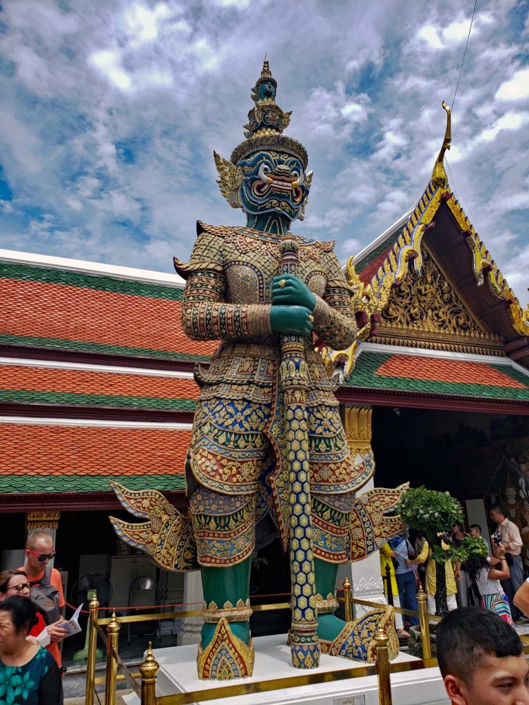
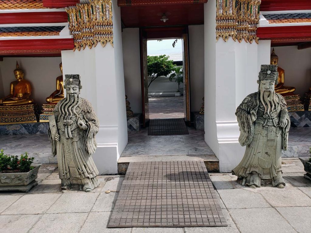
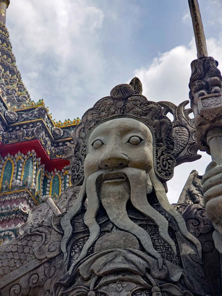
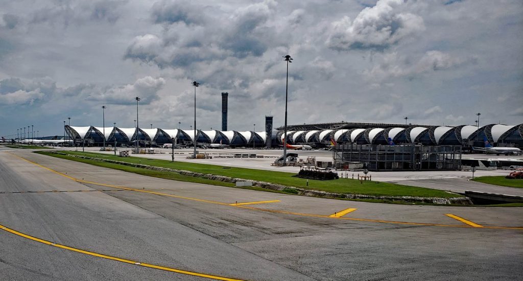
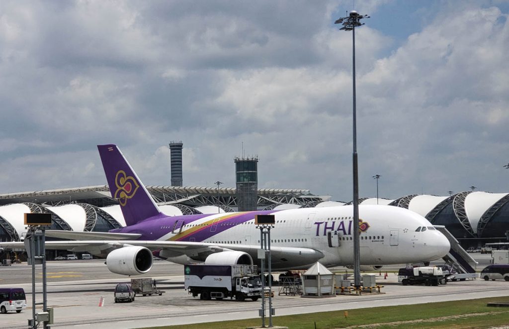
Just South of the Grand Palace is Wat Pho, a temple that also houses the reclining Buddha.Wat Pho figures.Another Buddha image at Wat PhoWarrior statue at Wat PhoAnother imposing figure from Wat Pho, this one likely of Chinese origins.Todays Bangkok is a mixture of old and new, the new is evident when you arrive at Suvarnabhumi Airport (BKK).
Suvarnabhumi Airport is the home of Thai Airways International Public Co., ltd. doing business as Thai. The airline was formed in 1960 and it was a joint venture between the domestic carrier Thai Airways Company and Scandinavian Airlines (founded in 1946), SAS which owned a 30% stake in the joint venture. SAS was providing assistance with personnel training, operations, management and marketing – all with the intent of building a national Thai airline within the shortest timeframe possible. SAS held a stake in Thai until 1971 when the the Thai government bought out the remaining 15% and the carrier became a governmentally controlled National airline.
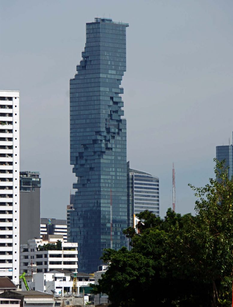
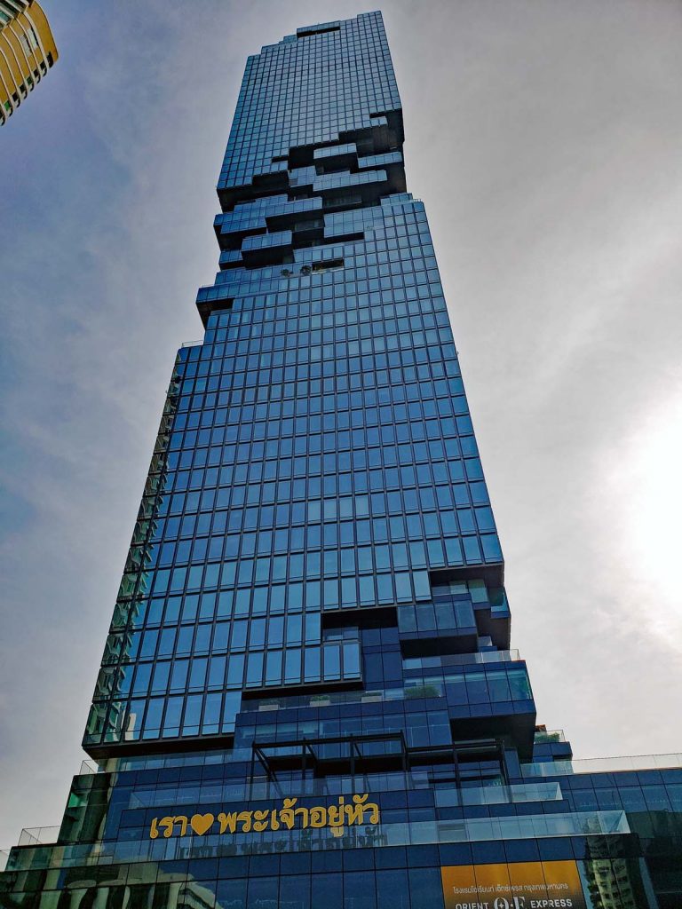
Maha Nakhon
MahaNakhon or as it has now been renamed “King Power MahaNakhon” was designed by a team that included German Architect Ole Scheeren. When it was completed in 2016 it was the tallest building in Thailand, topping out at 314 m. It has since been pushed down to the second tallest building by another building in Bangkok, Magnolias Waterfront Residences at ICONSIAM finished in 2018 and topping out at 317 m.
Mahanakhon up close, with the “twisted” body.
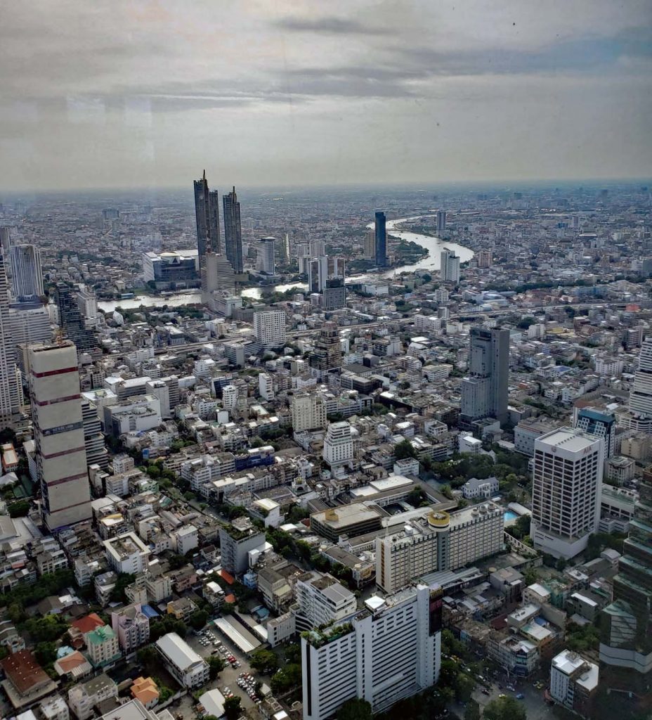
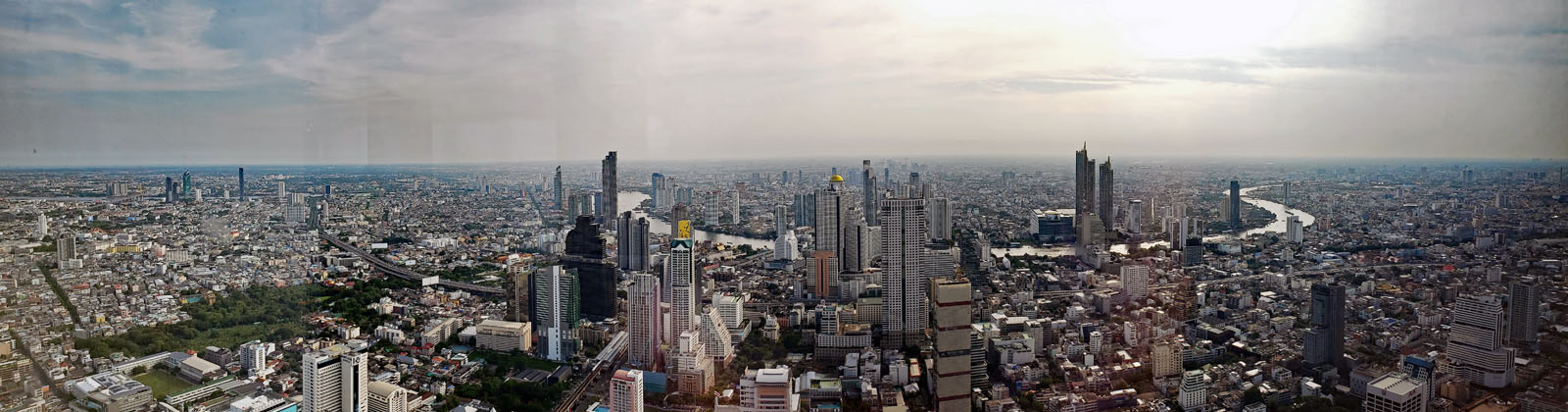
If you spring for the ticket to go up in MahaNhakon a stunning view of Bangkok and the Chao Phraya river awaits you.
View North from atop the MahaNakhonPanoramic view from the MahaNakhon looking East towards the Chao Praya River.
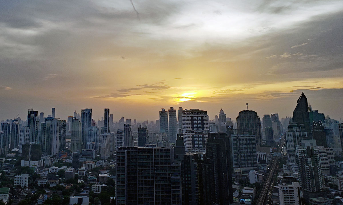
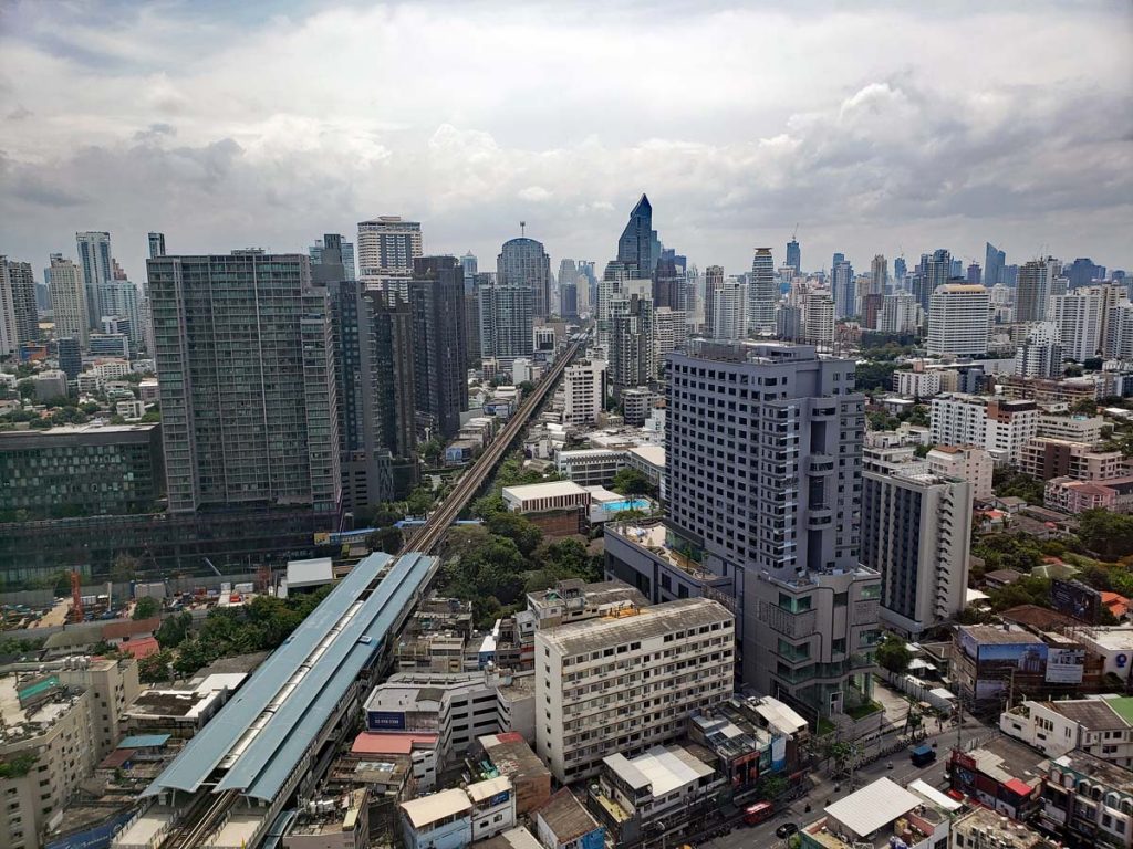
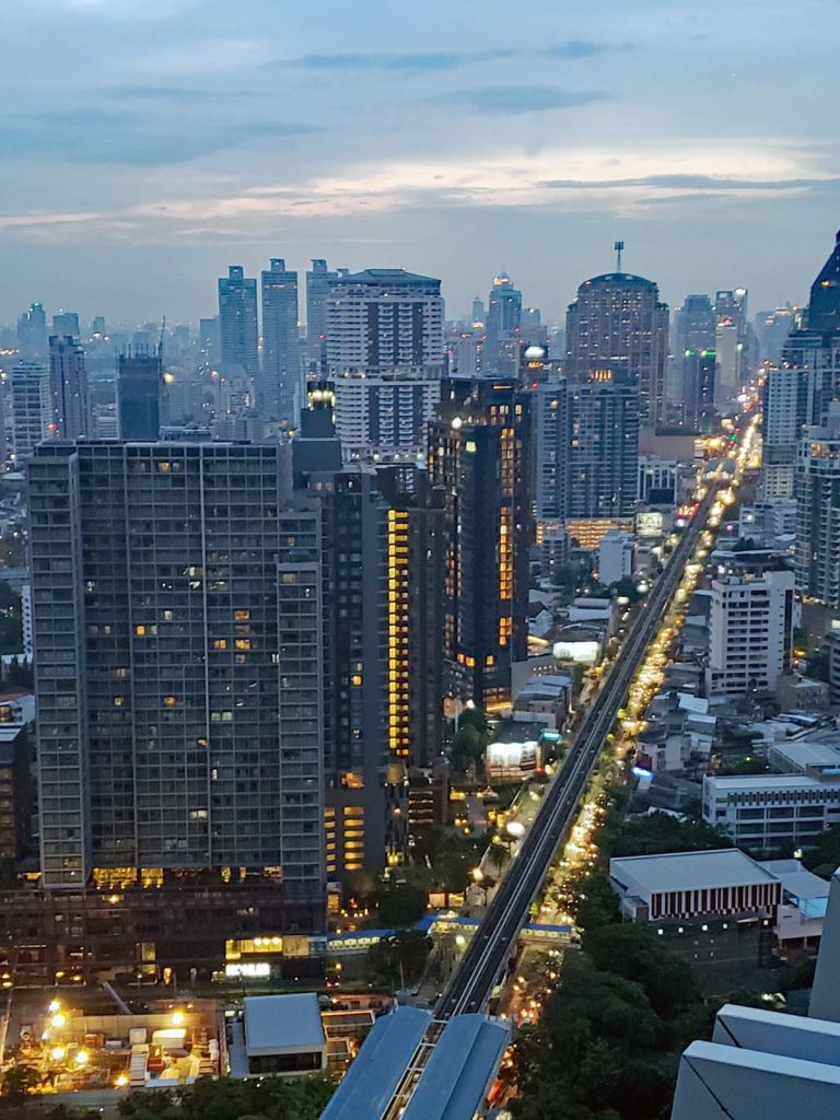
Sukhumvit area of Bangkok is nowadays an upscale neighborhood with many foreigners having made it their home. Thea area has plenty of upscale shopping malls, top notch hotels and restaurants. Sukhumvit Road is one of the longest road in Thailand as well as one of the longest roads in the world.
A look out over Sukhumvit in the city center, the rail line is the elevated BTS that runs from the airport and through the city. This photo was taken from the top of Marriott Sukhumvit where a nice restaurant and bar are located.It is evening in Bangkok and the city comes alive for One night in Bangkok.

![Hole in the [cave] wall.](http://thelosangeleno.com/wp-content/uploads/2019/12/19_Red_River_CaveHole-1024x683.jpg)