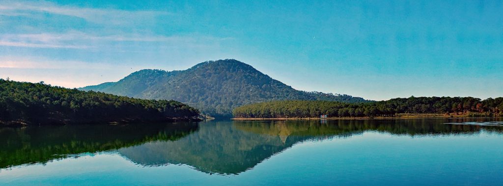
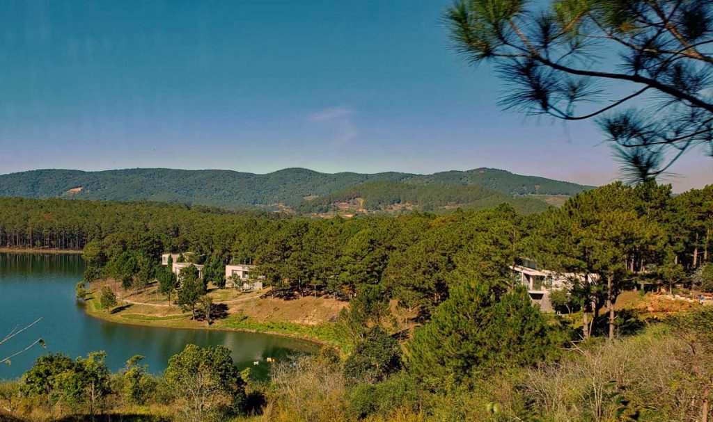
One of the lakes up in the mountains around Da Lat.
Waterfalls are not only beautiful, but they can also produce hydroelectric power if dams with a generating plant to produce electricity are built in the river. Environmentally this may be a sensitive issue, but as a whole it may be part of the solution.
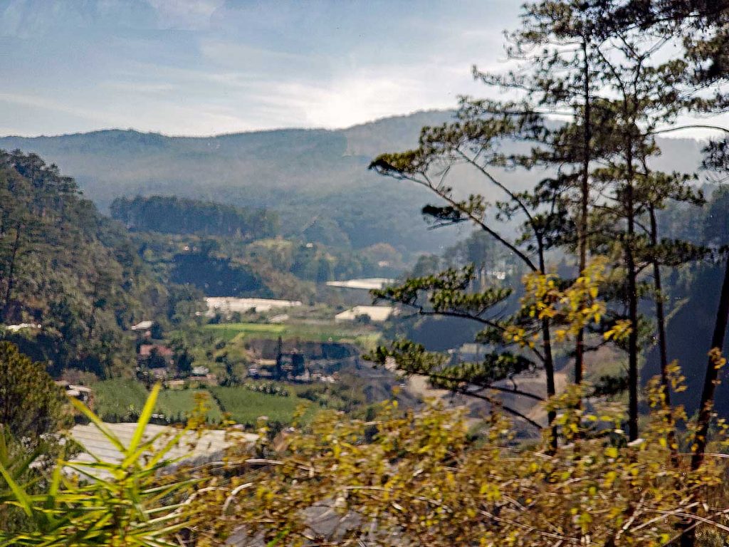
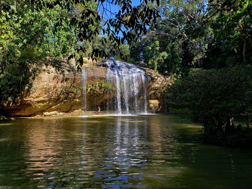
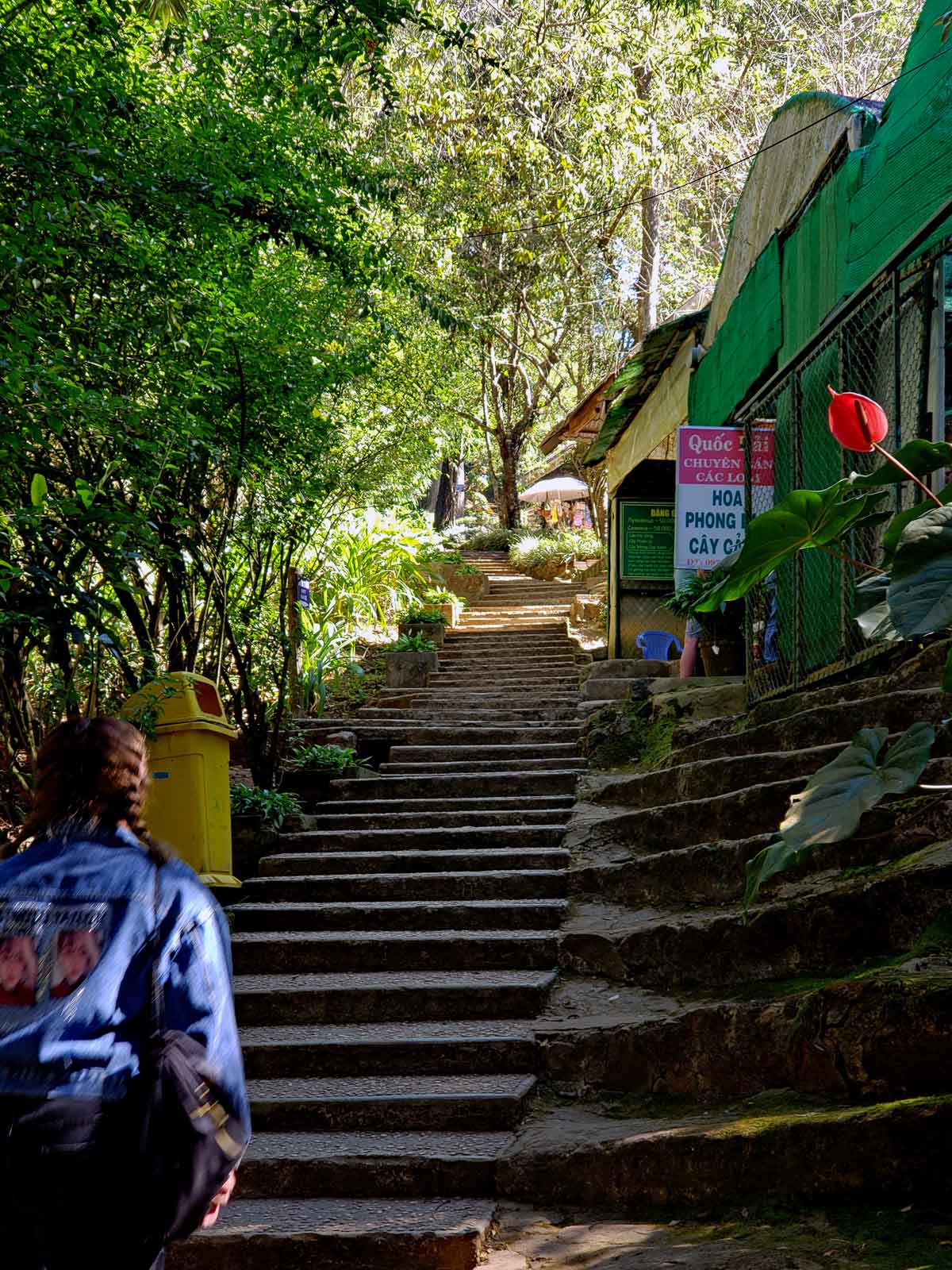
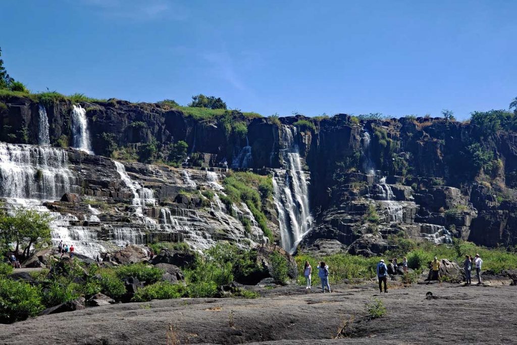
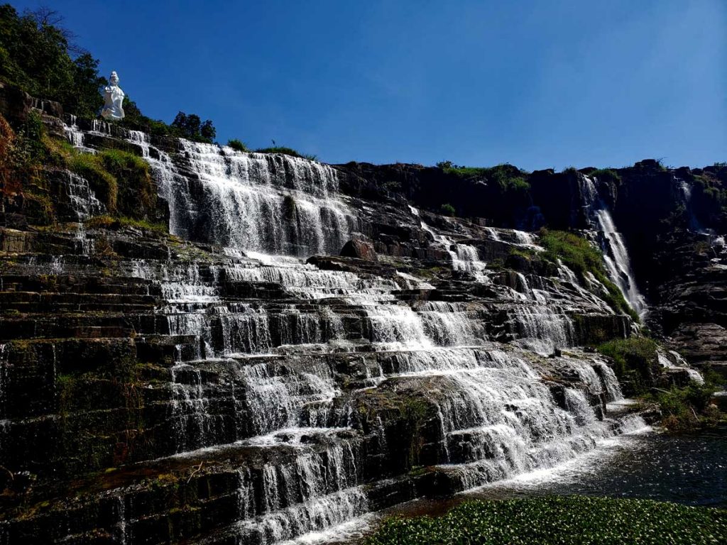
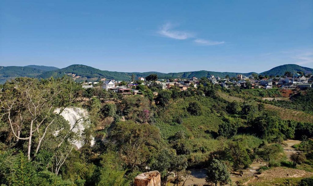
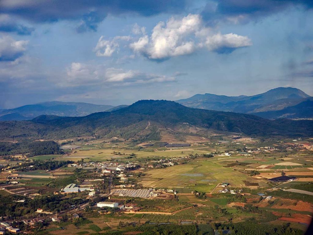
Here is a view of the valley where Thac Prenn, the Prenn waterfall is located in the Da Lat area of the Lam Dong province.
In Vietnam, hydroelectric power supplies as much as 41.55% of the total electricity production in the country (World Bank compiled number). In comparison, neighboring Thailand only produces about 7% according to Wikipedia.
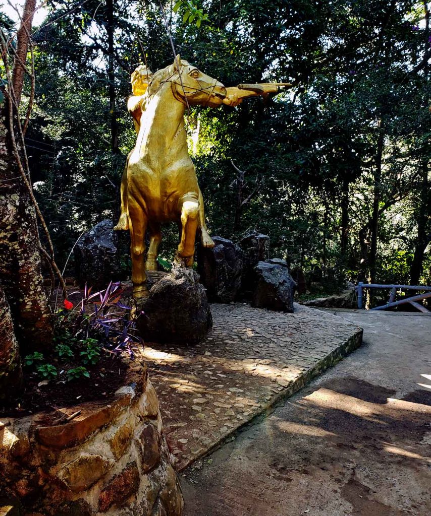
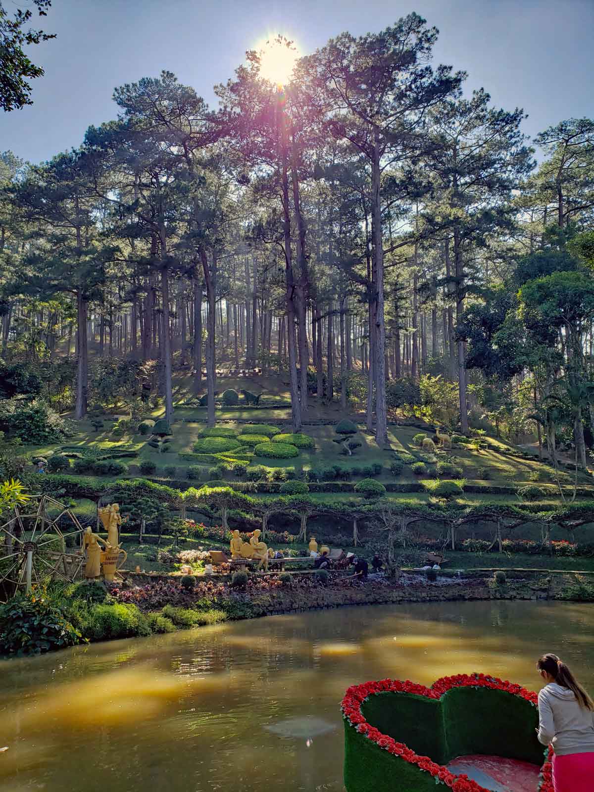
A statue of a golden warrior with a cross bow.A pond surrounded by pines on the way to the Prenn falls.
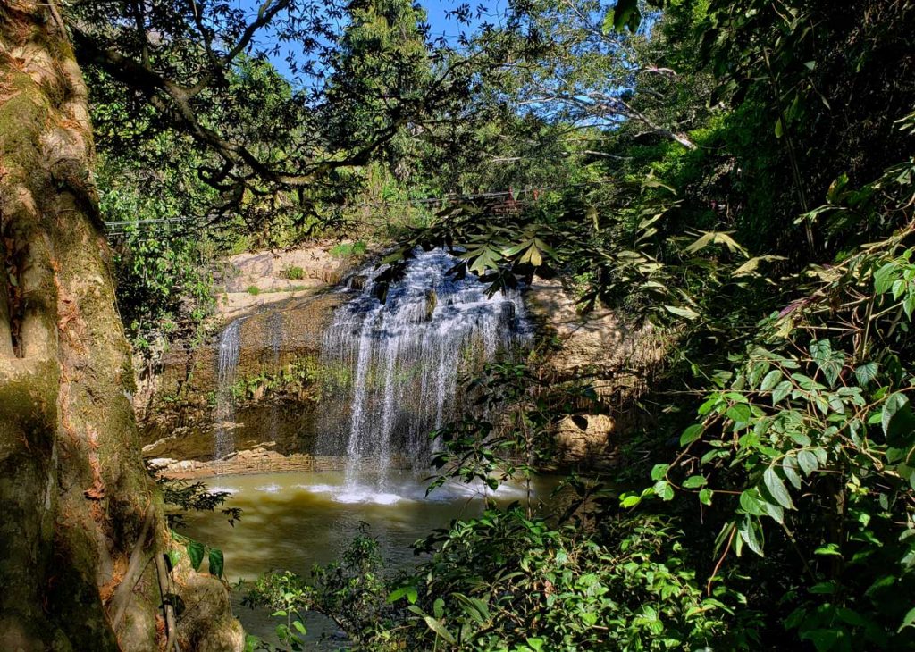
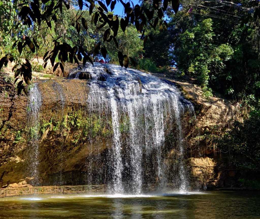
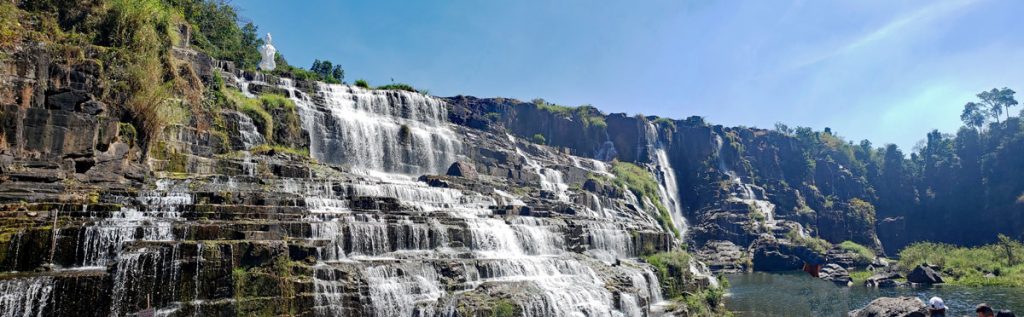
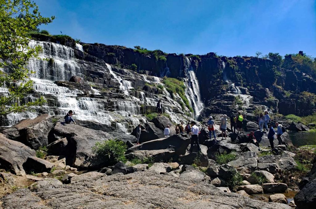
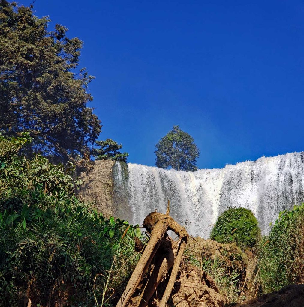
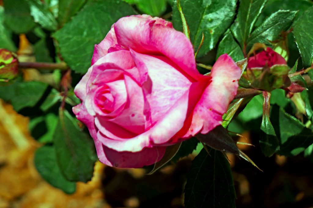
Thac Prenn
Thac Prenn – the Prenn waterfall.Thac Prenn.A closer look at Thac Prenn.Below the fall, swirling waters.
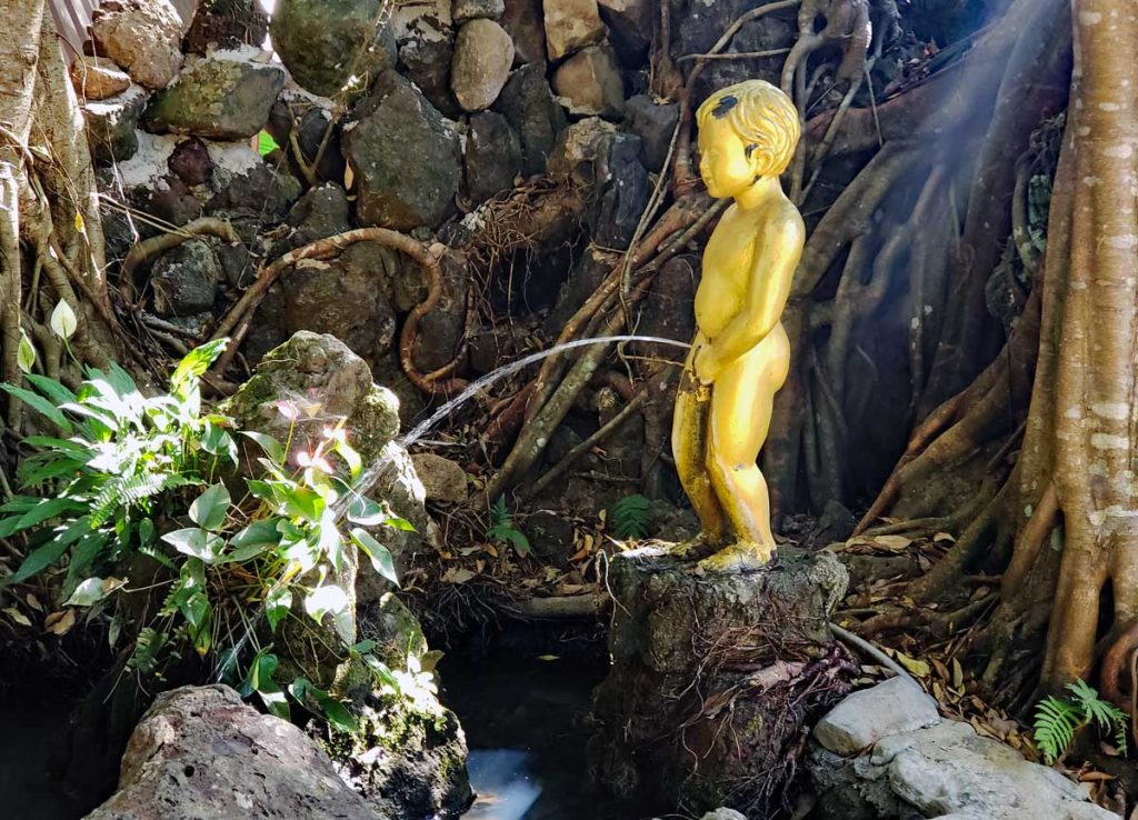
Another way water is falling… (A copy of the famous Belgian “Manikin Pis”.)
Coffee is grown extensively in this mountainous region of Vietnam to fuel the thirst for beans to roast and supply to the numerous Coffee houses in todays Vietnam. Coffee and coffee houses are very popular. Cong Caphe is one of the most popular ones. In Saigon coffee houses can be found in apartments, like Coffee Apartment. Directions here if you would like to check it out.
Coffee beans are being dried outside of many homes in the area, front lawns, sideboards are all filled with drying beans.
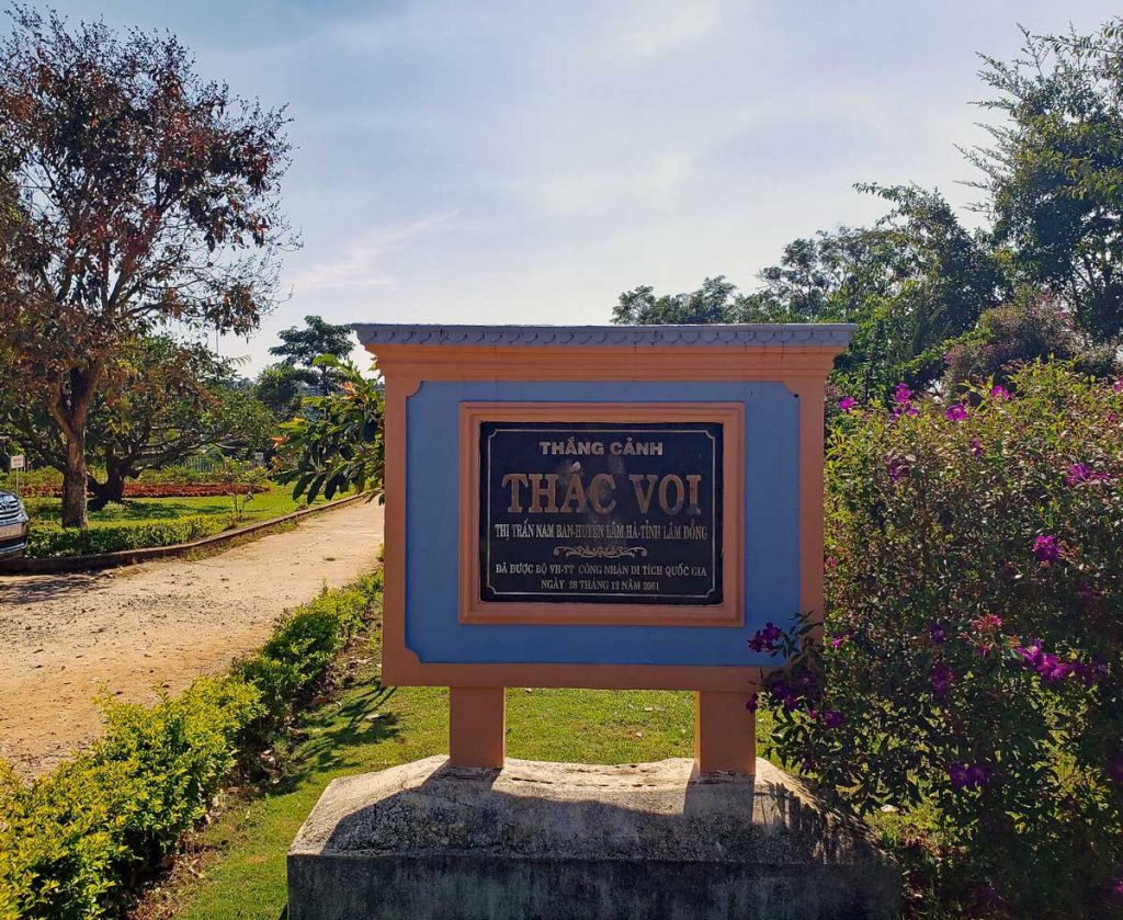
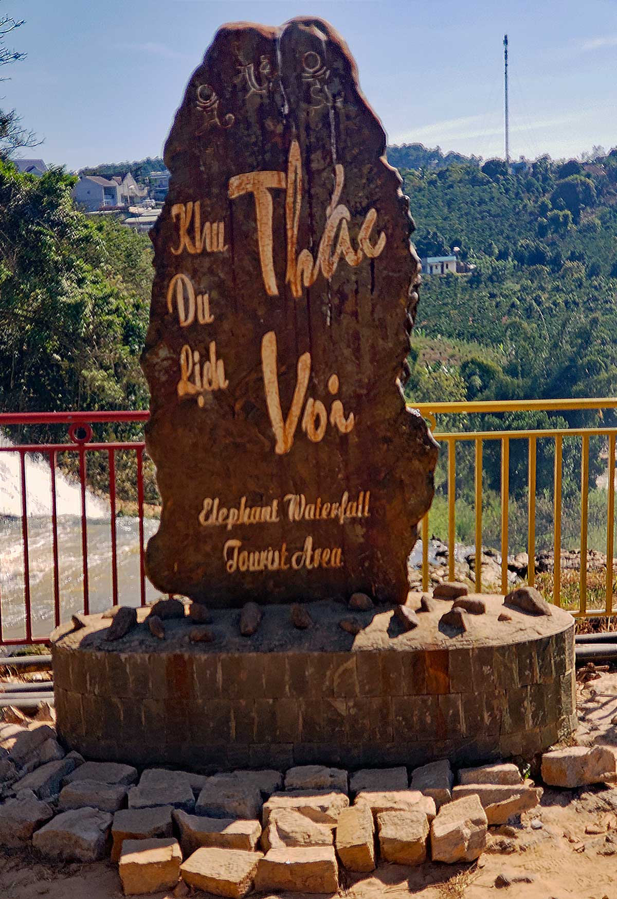
Thac Voi
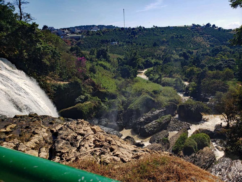
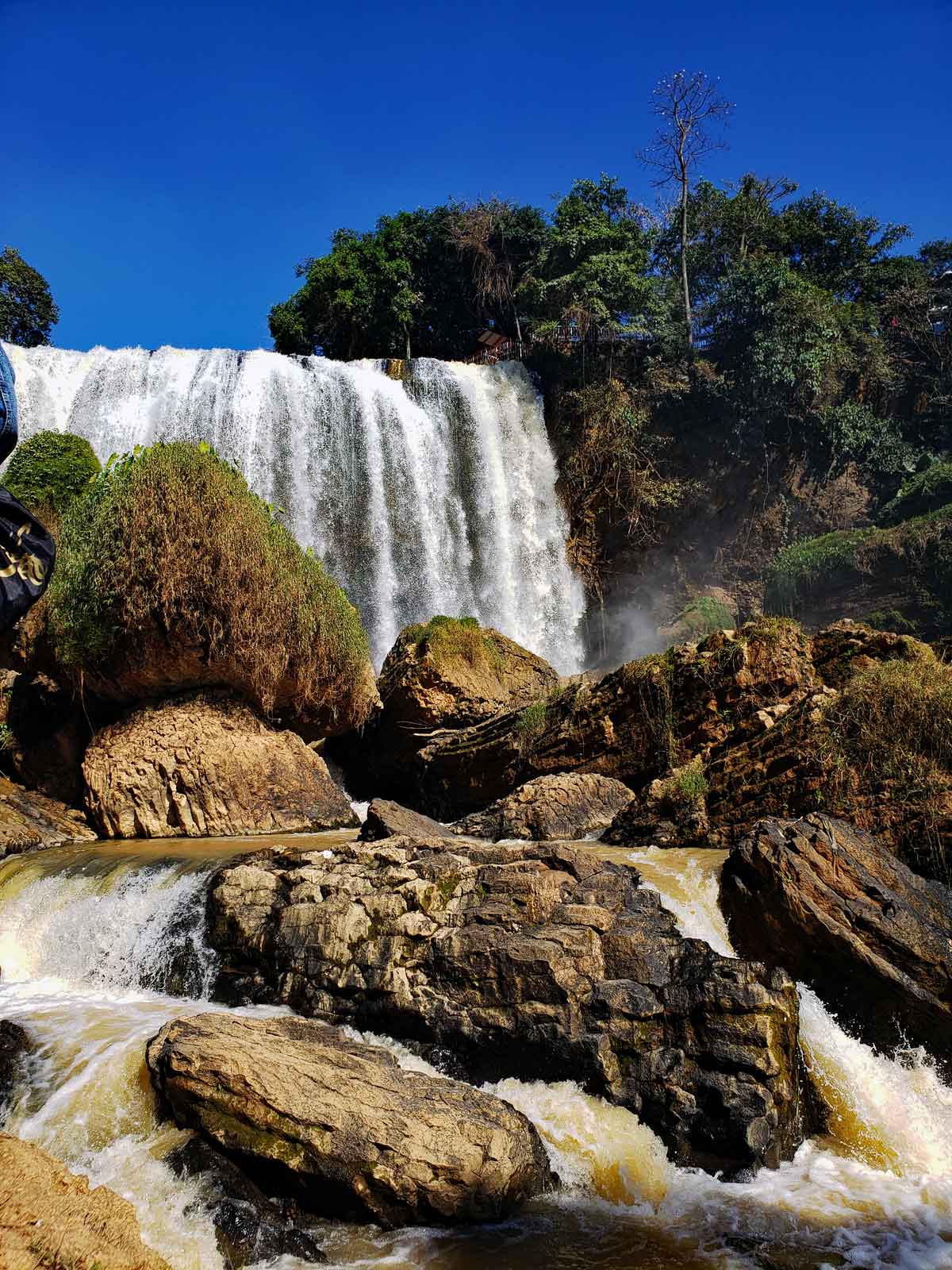
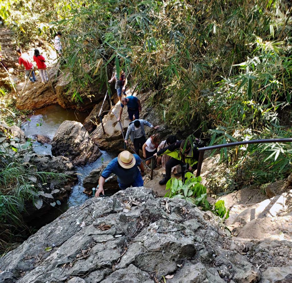
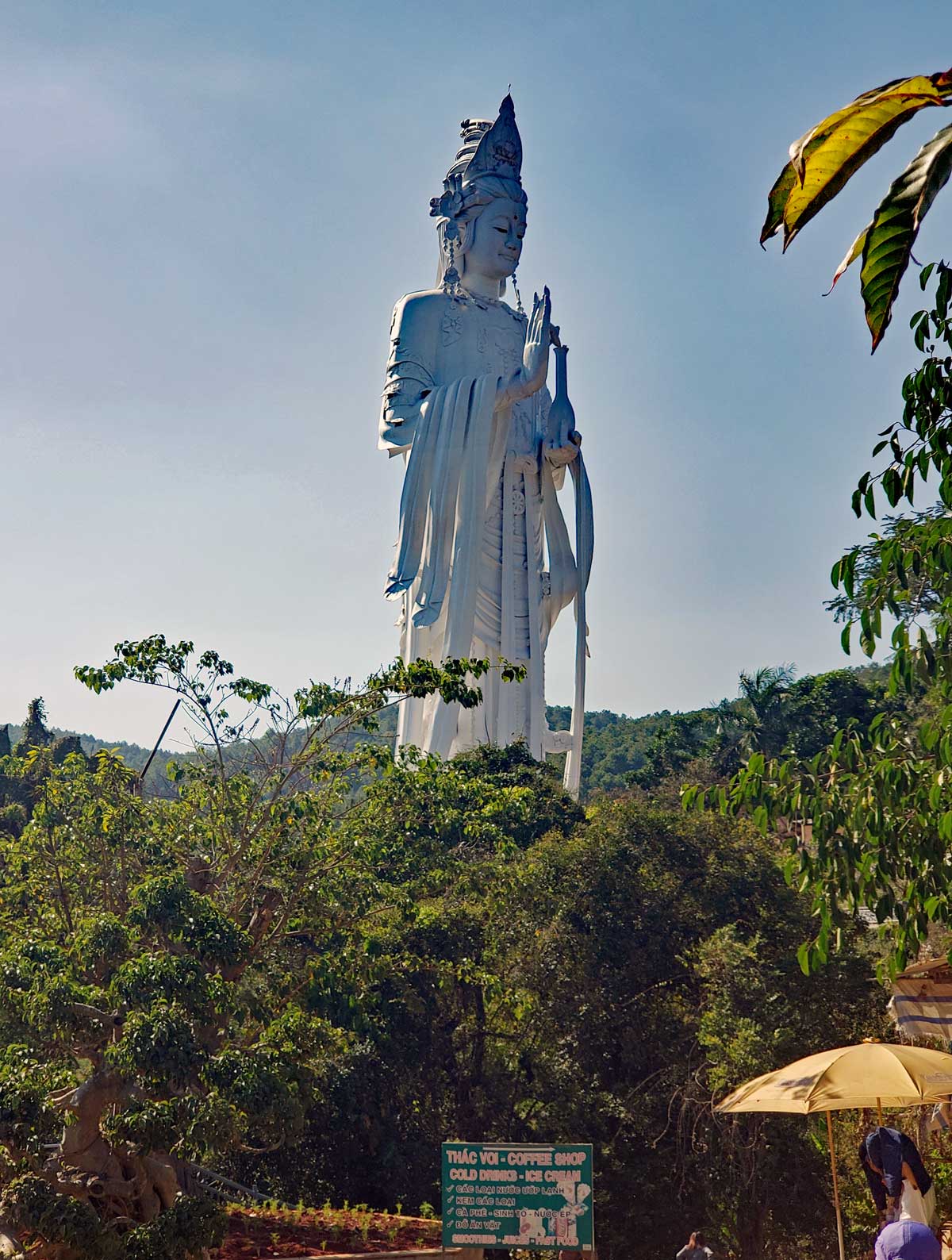
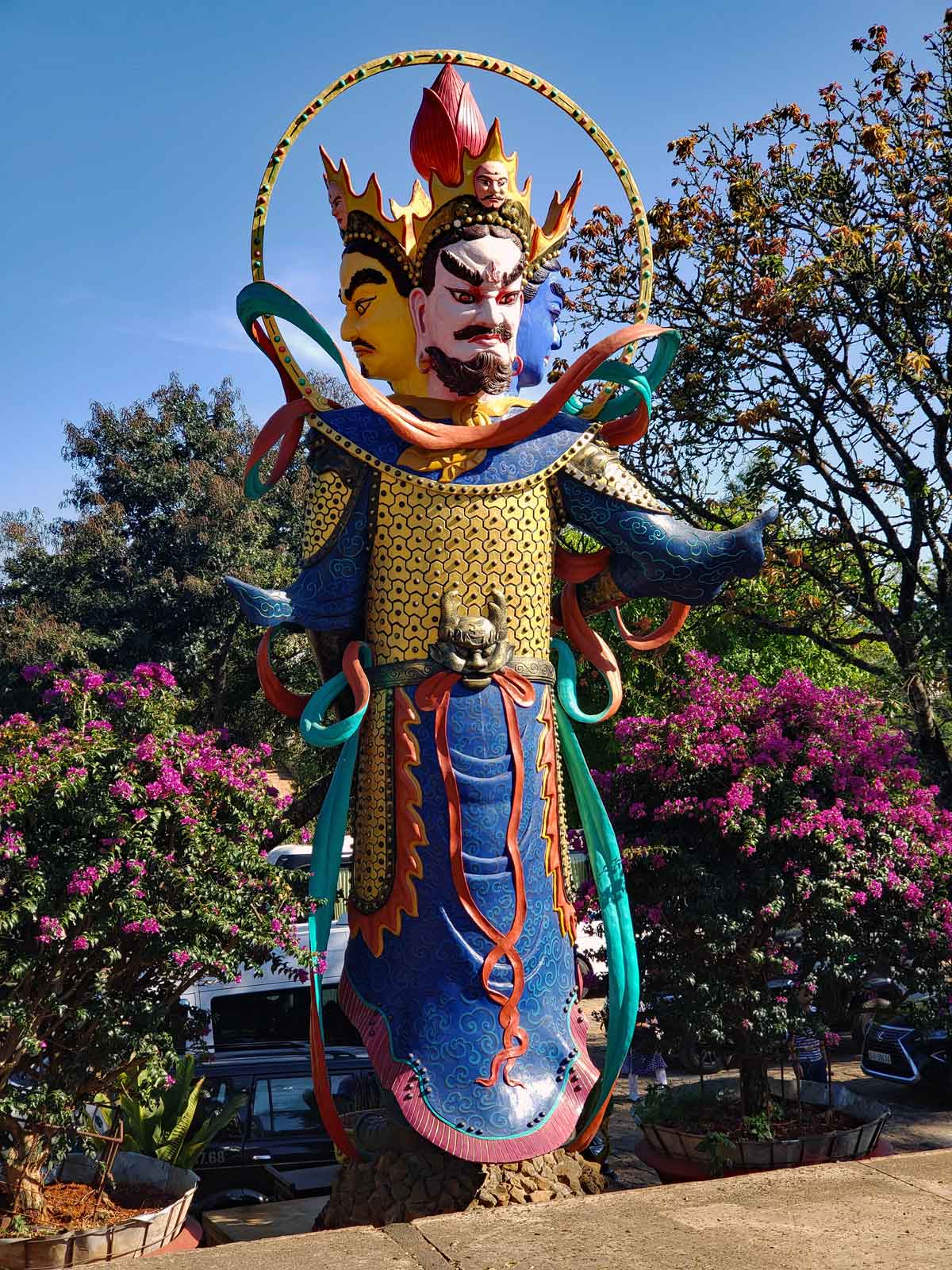
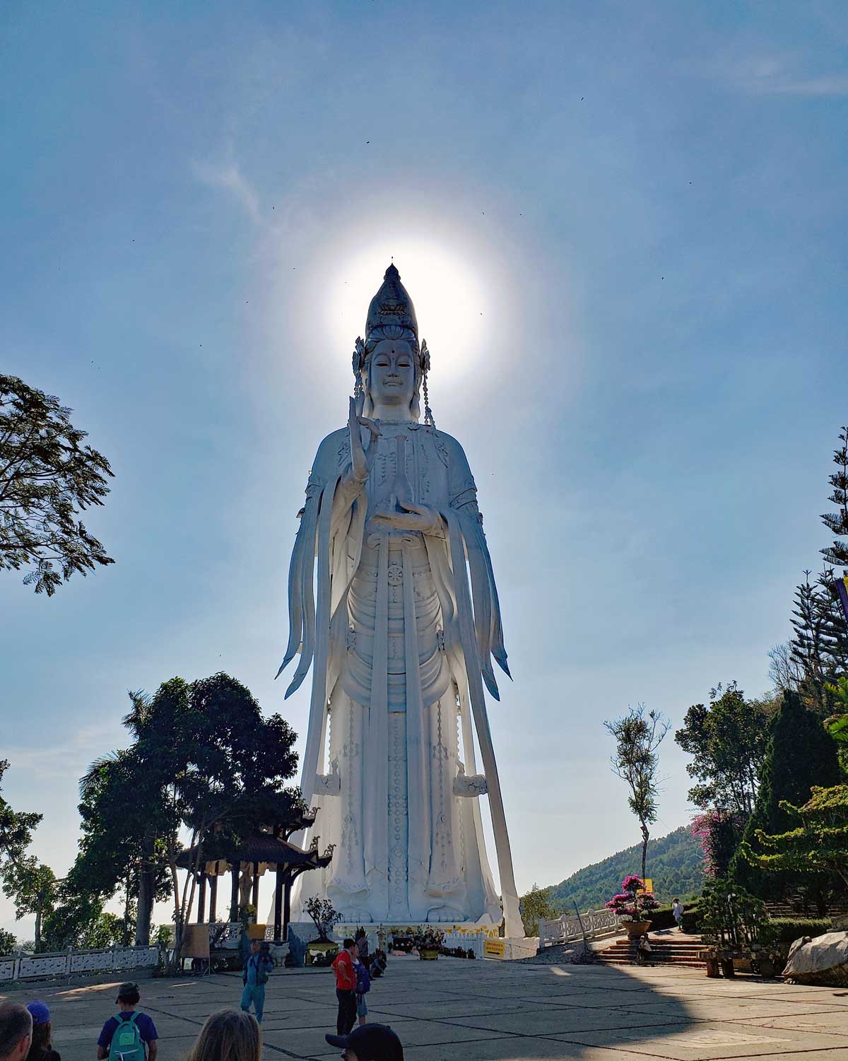
Entrance to Thac Voi – Elephant fallsSign at Thac Voi – Elephant fallsThac Voi – Elephant fallsThac Voi in all its beauty.Thac VoiIt is a steep climb down to “get to the bottom” of the falls – and even trickier to get back up.The big female Buddha sits above the falls at the Pagoda.Here is a “companion” figure to the big Buddha.Sun creating a halo around the head of the Buddha.A view of the falls and the valley.
Video of the Elephant Falls – Thac Voi.
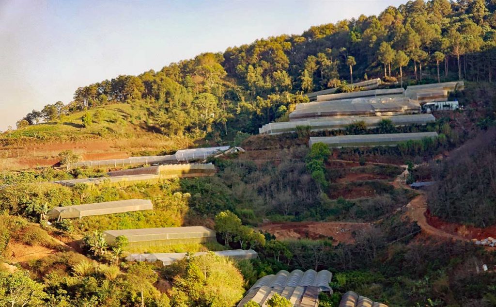
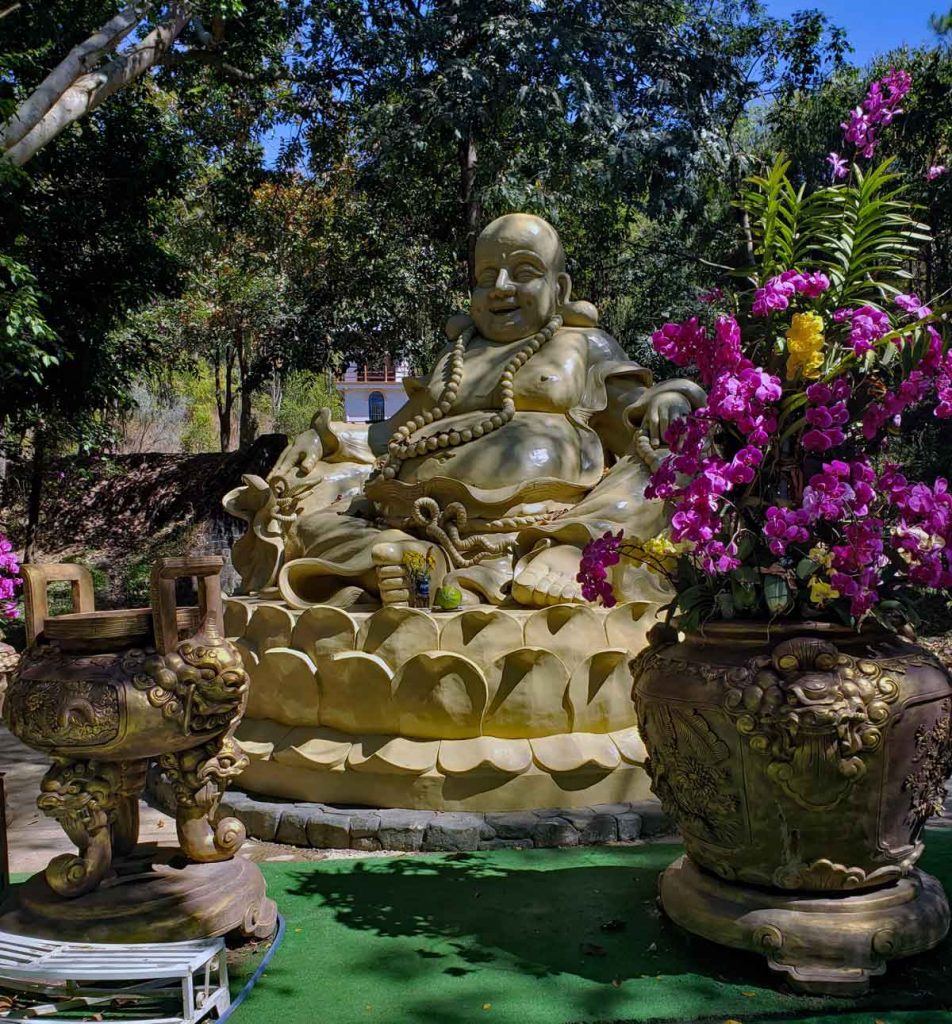
Thac Voi – Elephant Falls, Da Lat VietnamThe valley is filled with greenhouses and a hugh amount of flowers and vegetables are grown in the area.A smiling Buddha at the waterfall.
Coming into the Da Lat (DLI) airport which is located in the valley and is about 45 minutes up a 2-lane twisty mountain road with many scooters, buses and cars.
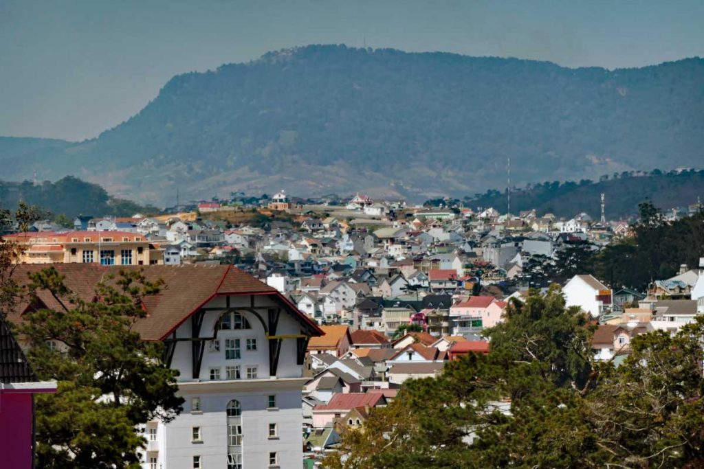
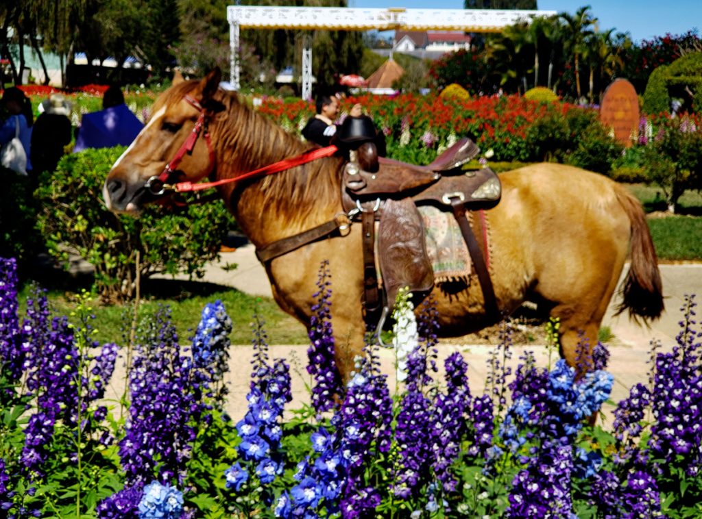
Da Lat is located in the Highlands of Central South Vietnam. It was developed by the French as a resort in the early 1900’s and some features of a French Alp village are still present. Da Lat has a population of around 406,000 people (2015 number). It is sitting at a height over the sea of 1,500 meters. Da Lat is known as the “City of eternal spring”because of the temperate climate zone it is in.
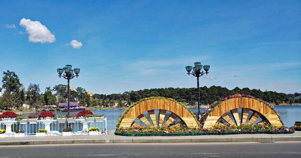
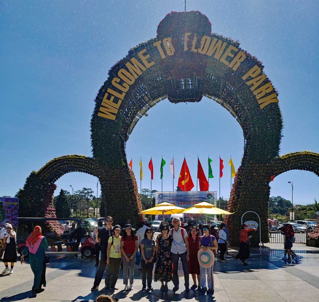
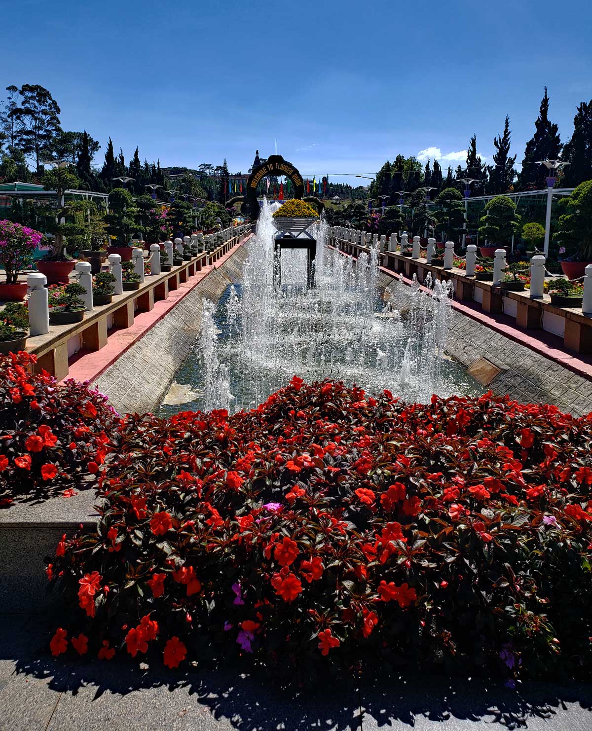
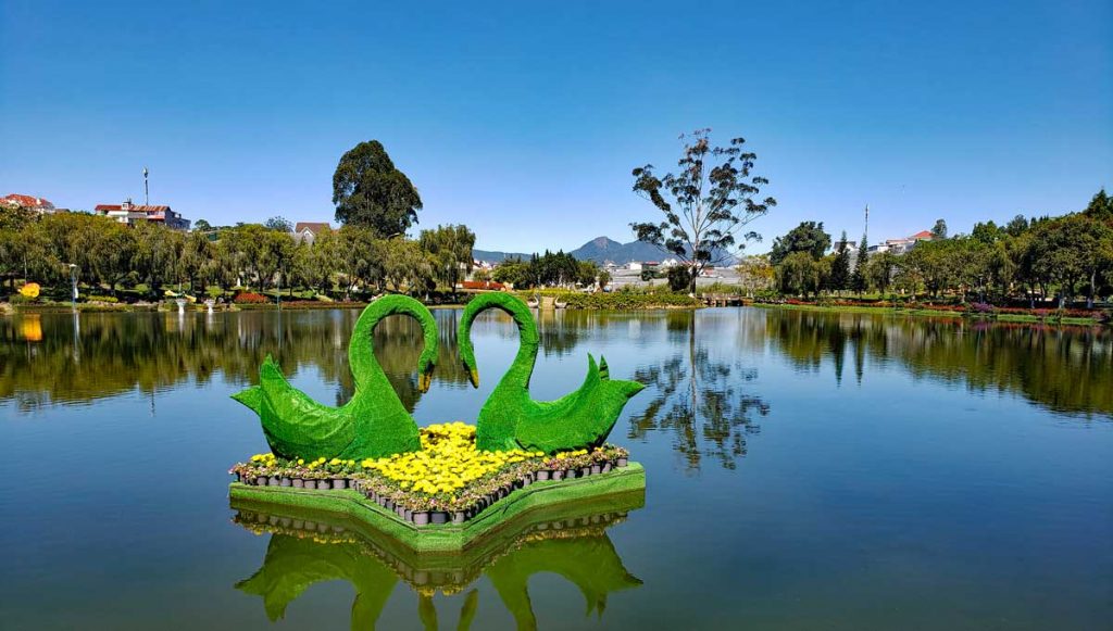
A view of Da Lat.A view of the Xuan Huong Lake in Da Lat by the entrance to Flower Park.
Dalat Flower Park hosts the Da Lat flower show every year in December.
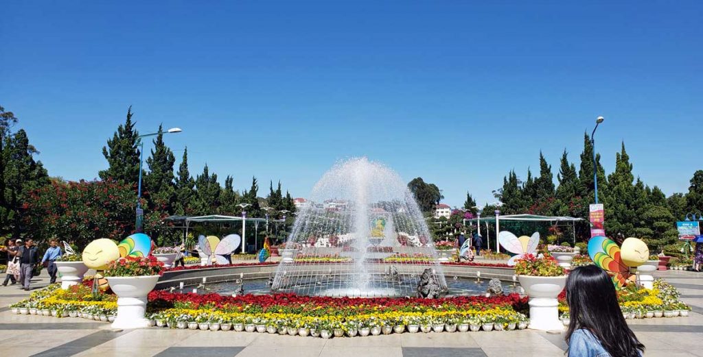
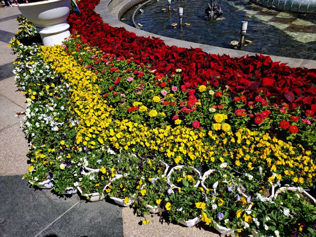
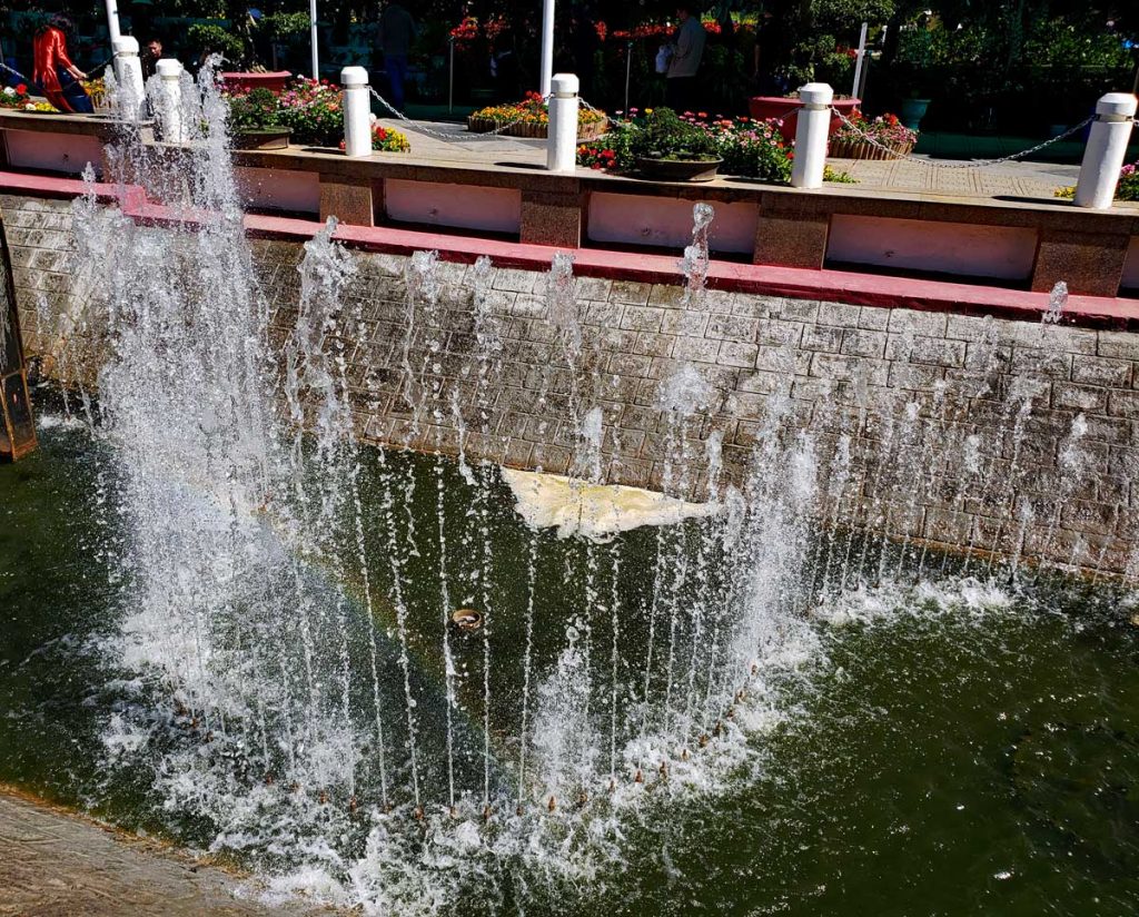
Flower Park entrance.Fountain by the entrance to Flower Park.Flower bed by the entrance.
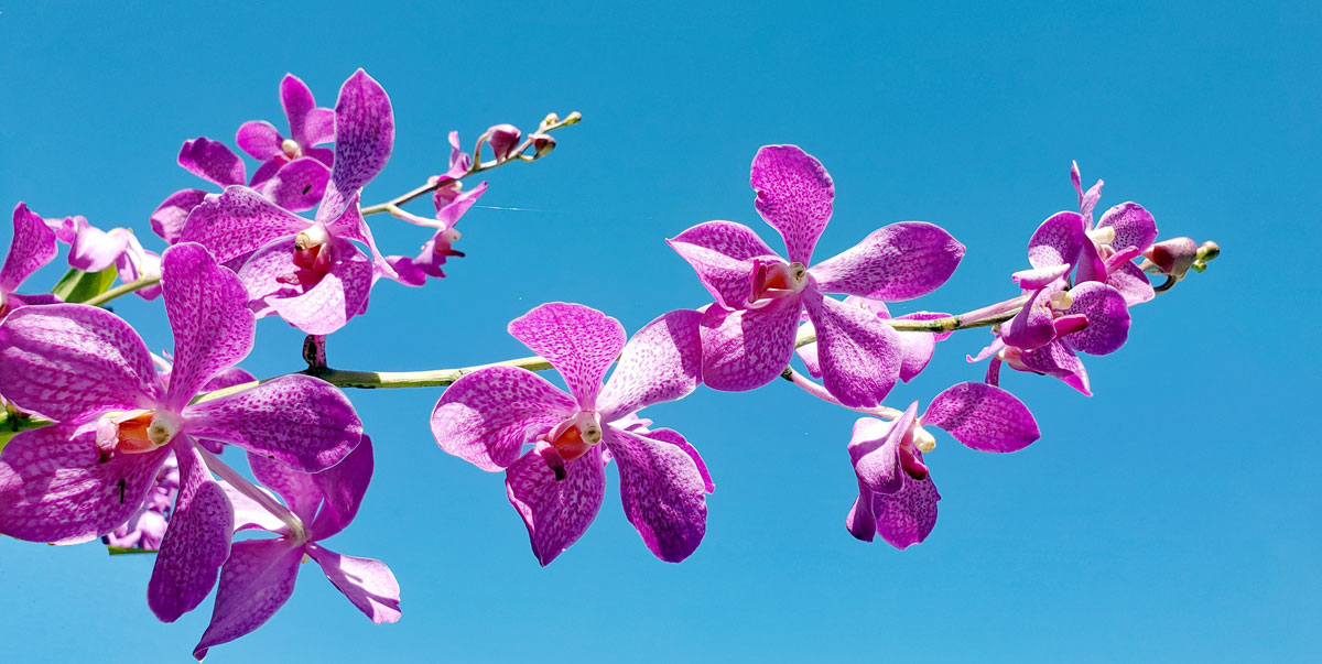
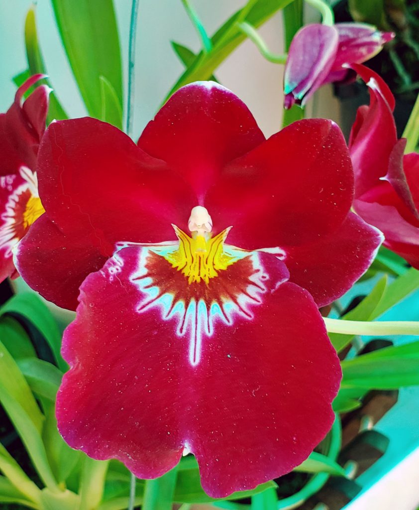
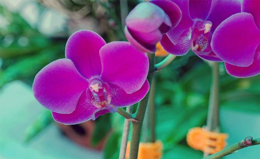
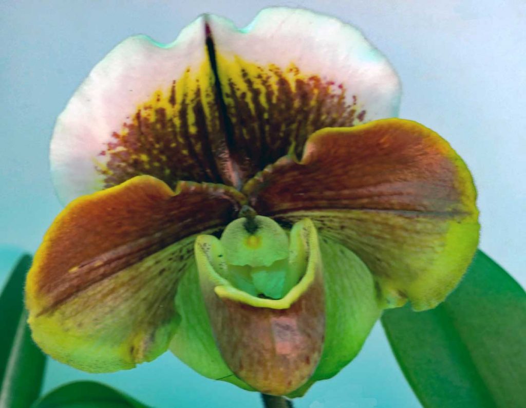
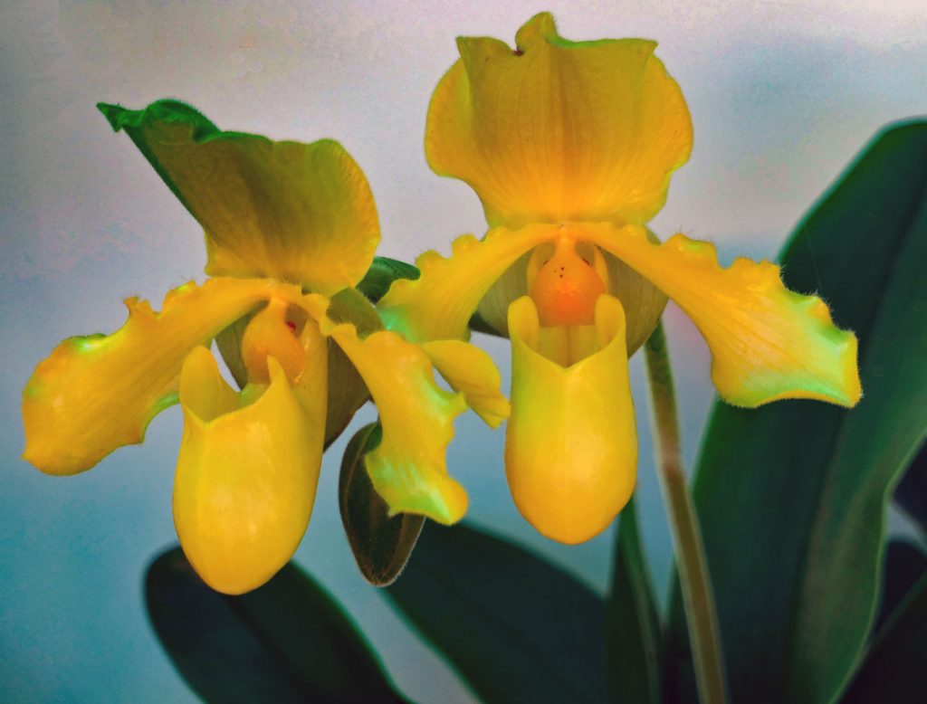
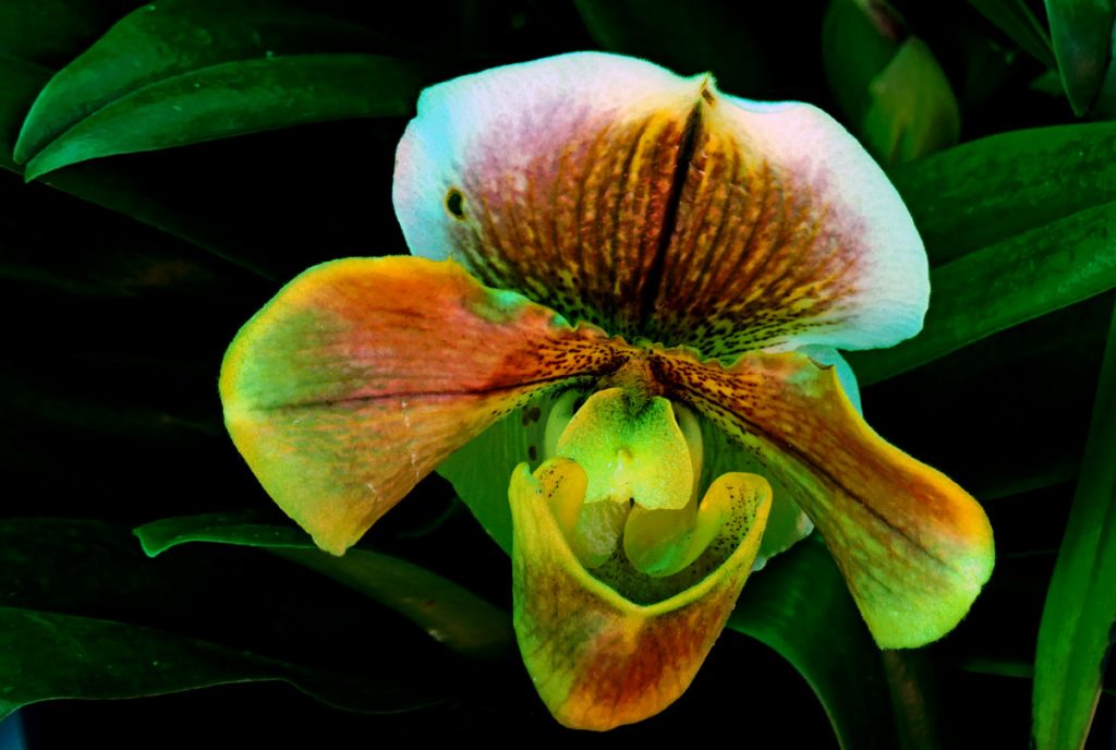
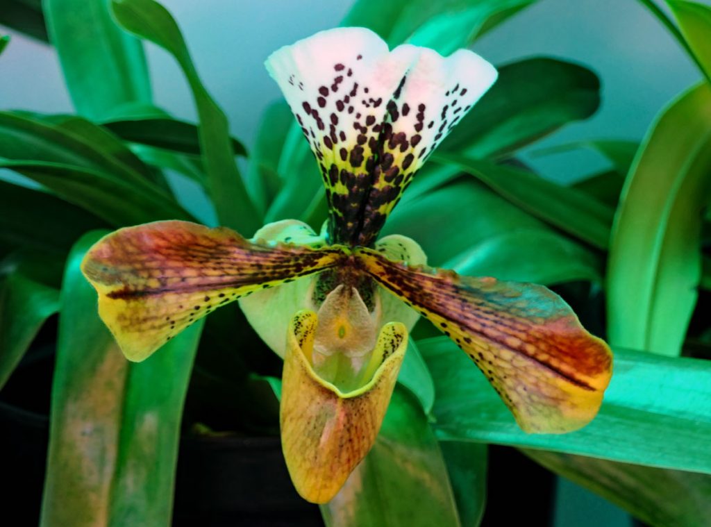
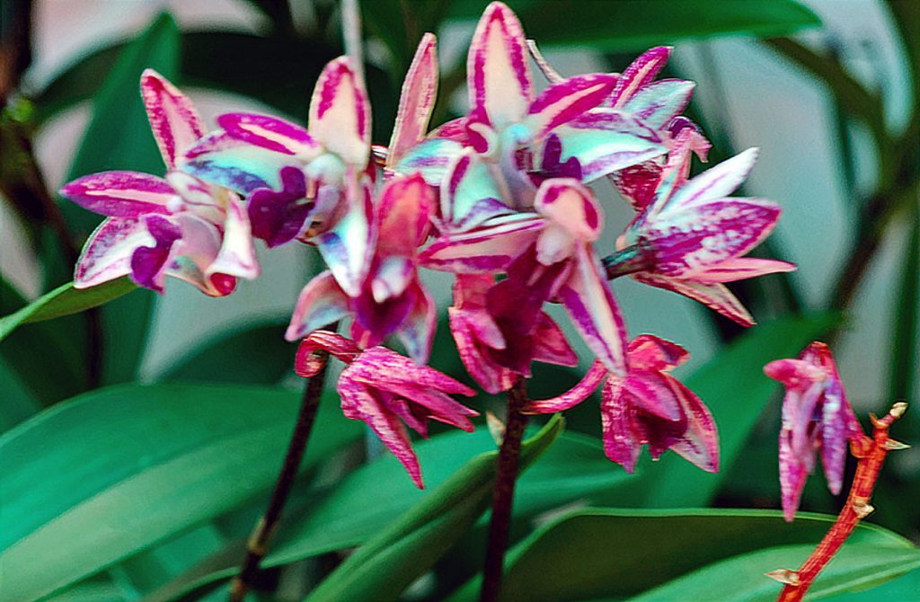
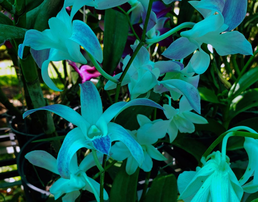
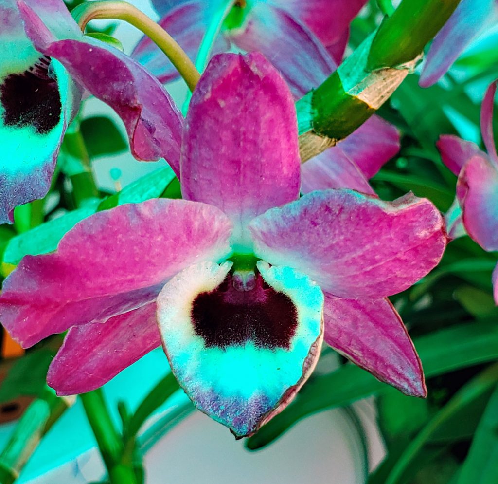
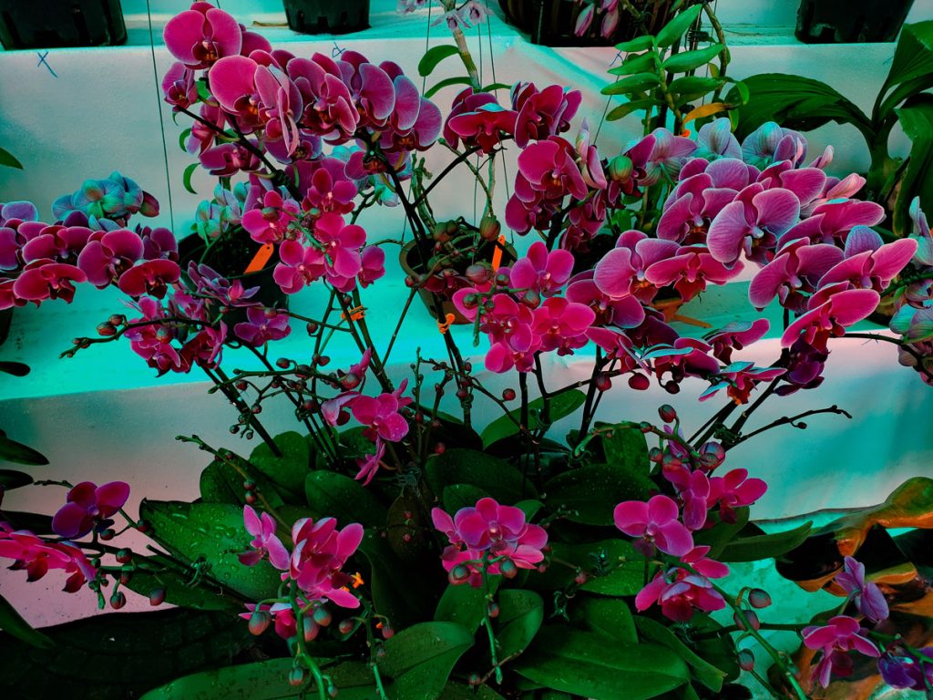
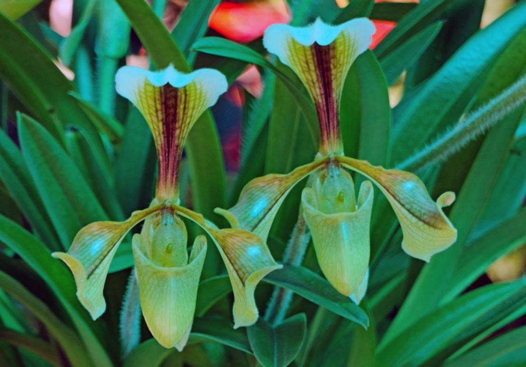
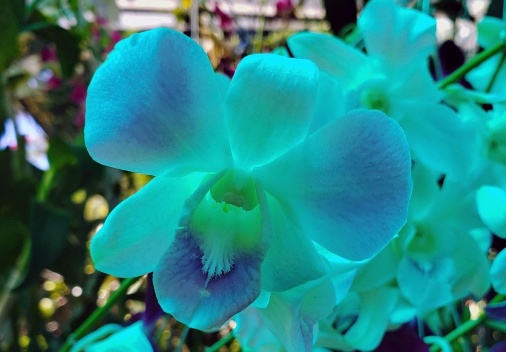
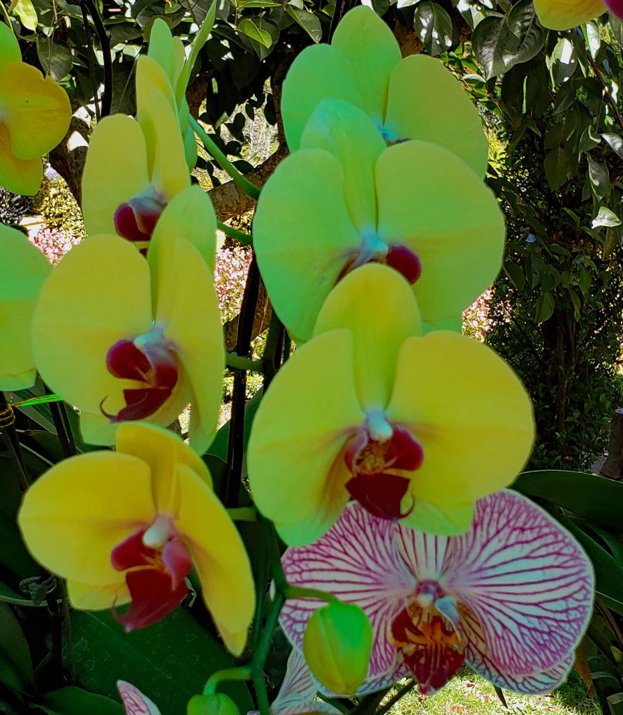
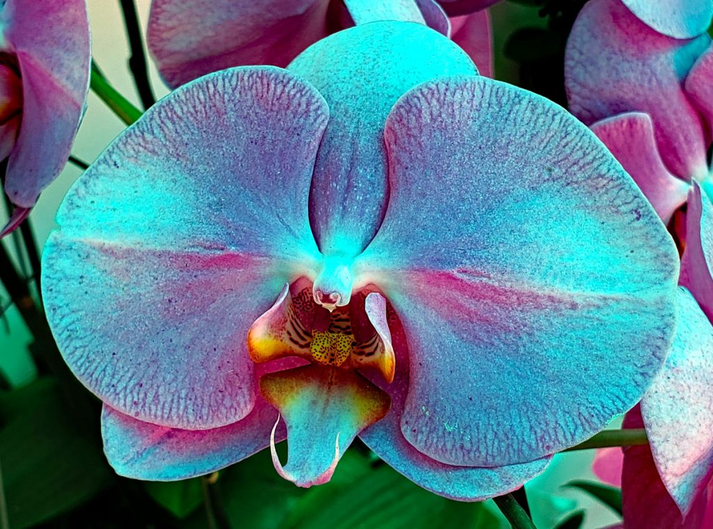
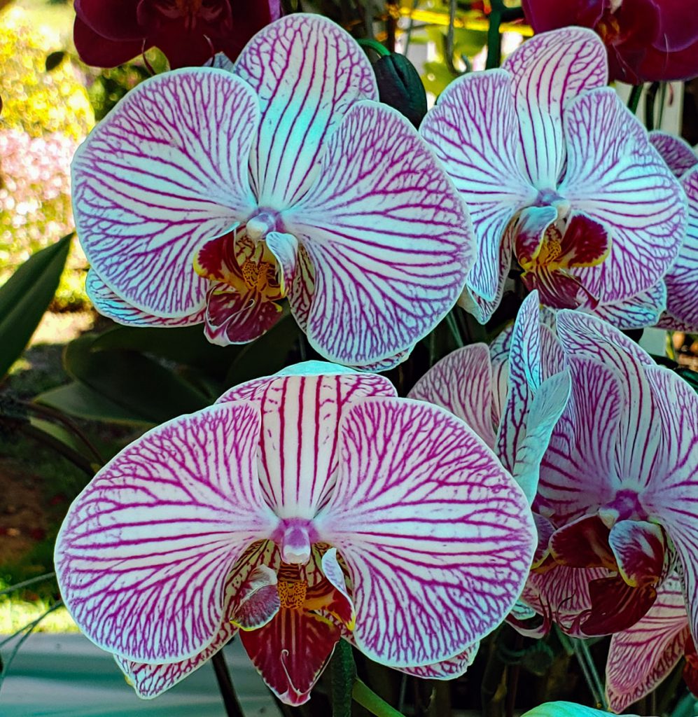
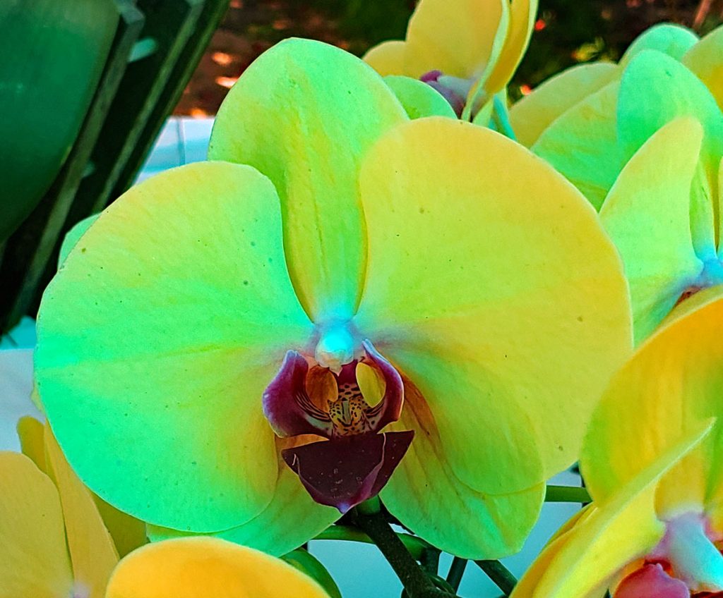
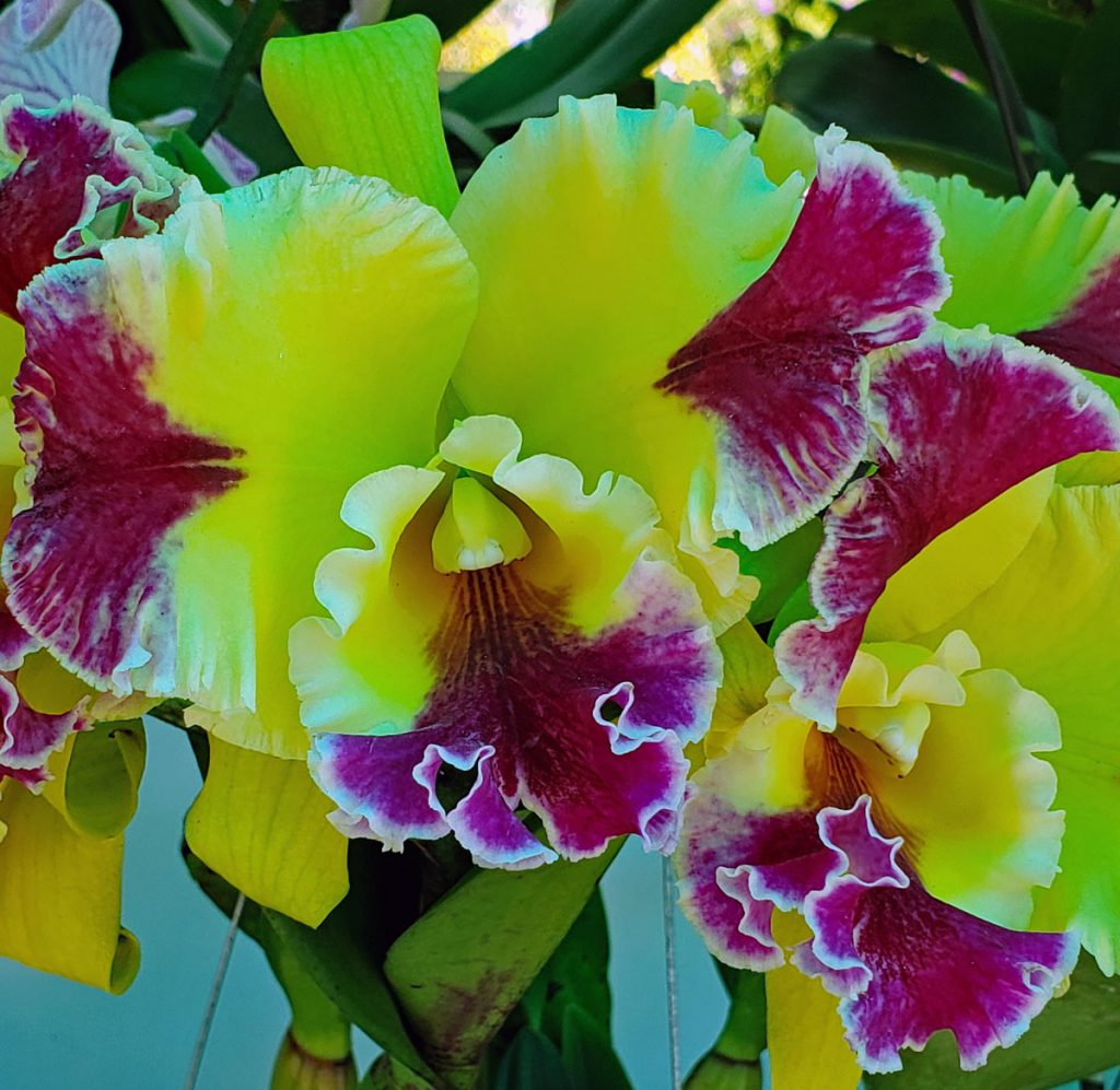
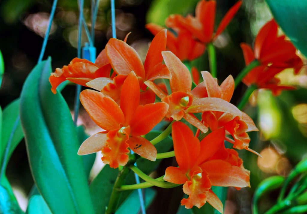
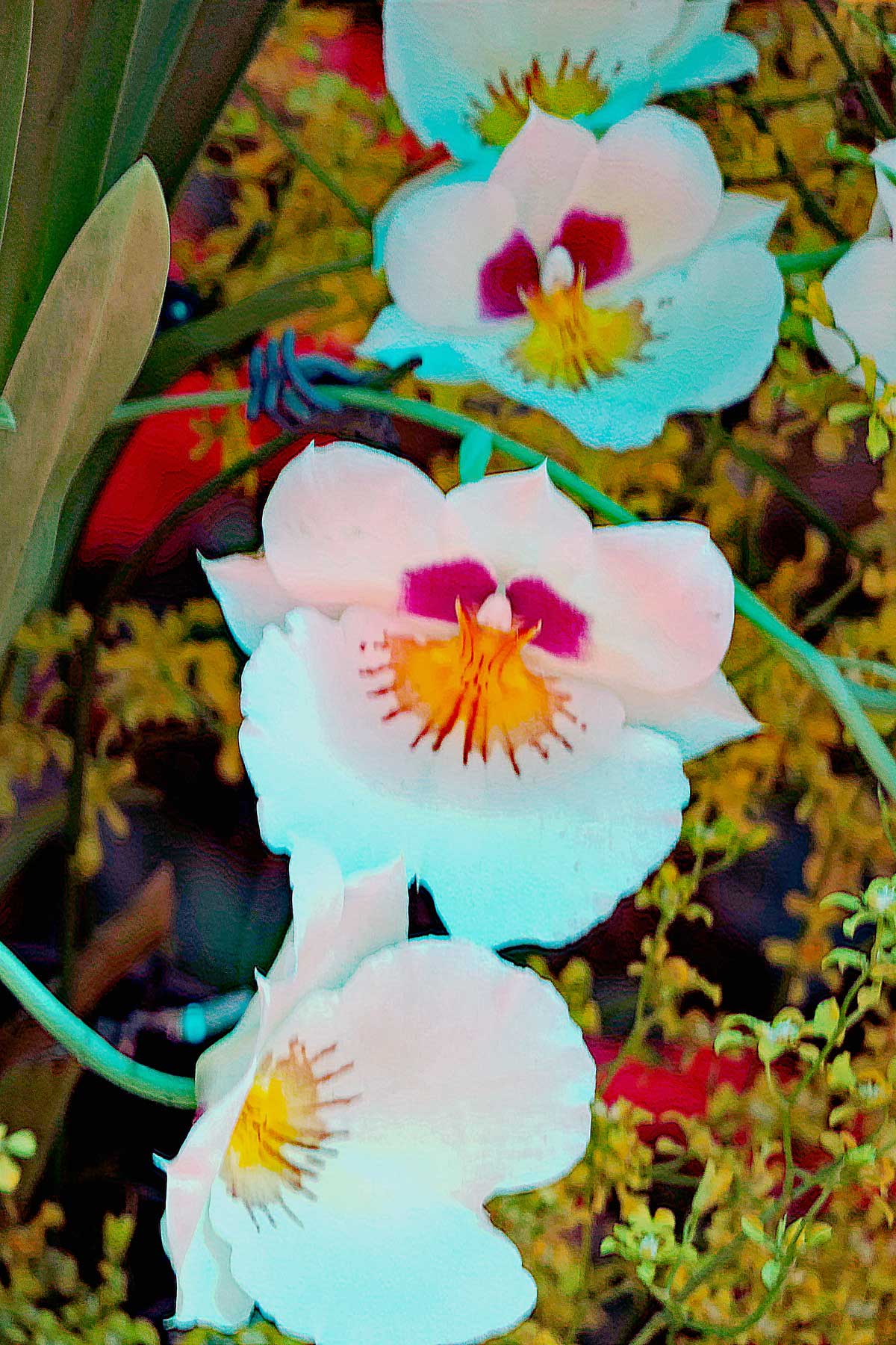
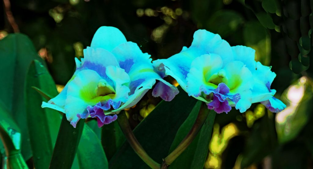
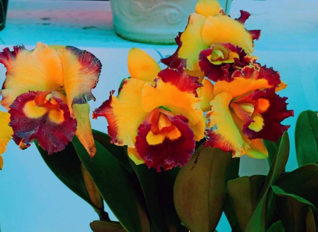
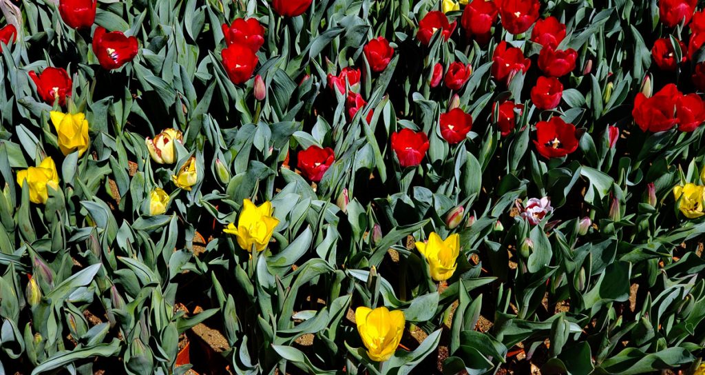
The first section of Flower Park contains Orchids, many many beautiful Orchids.
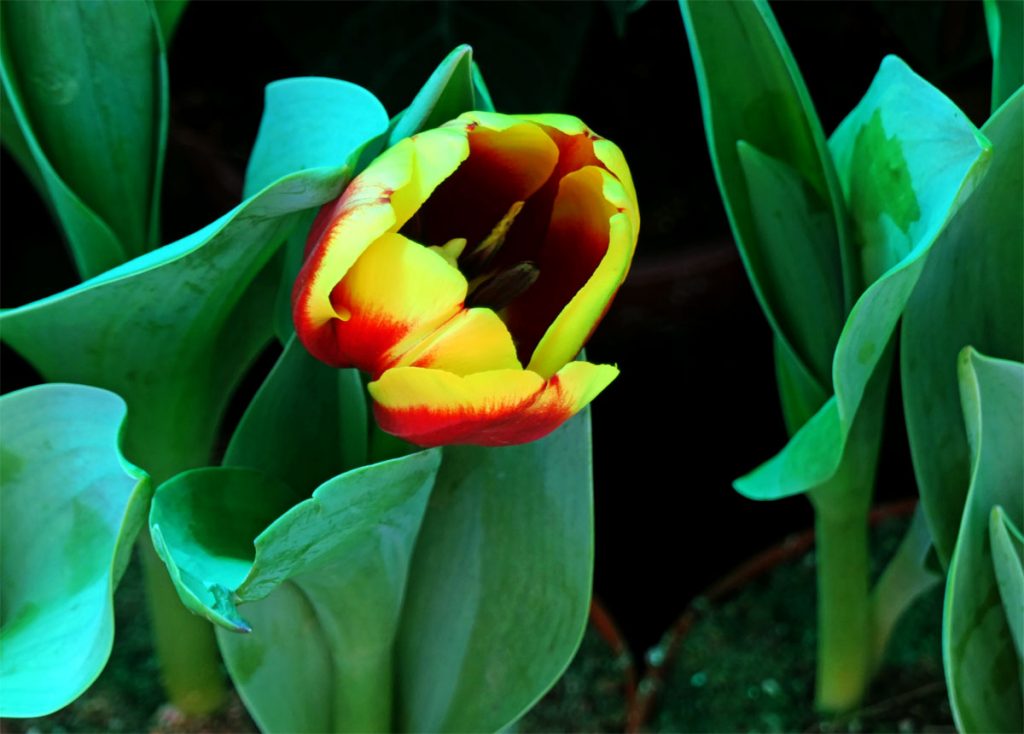
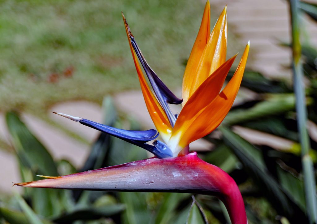
A Tulip among the Orchids.Bird of Paradise flower.A look back towards the entrance with the fountain lined with the Orchid stalls.The pond in Flower Park.
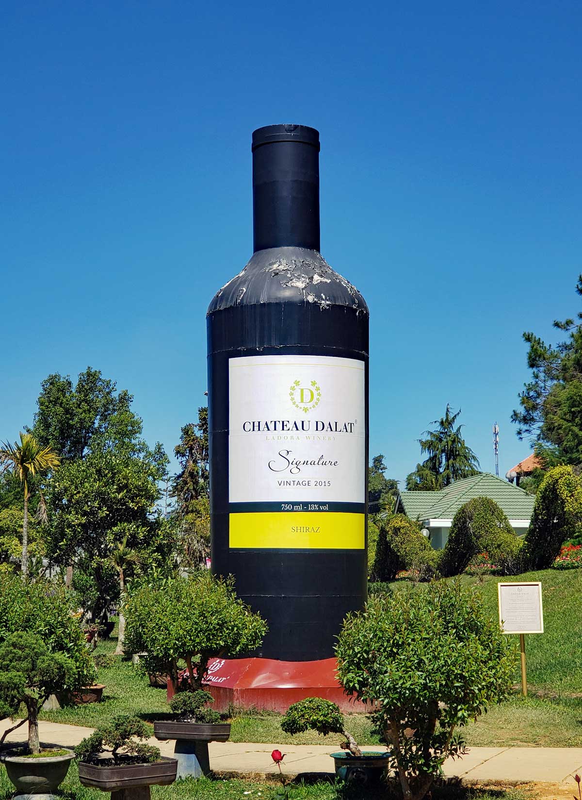
Chateau Dalat is the local winemaker in the area, they sponsor the Flower Garden and get some advertising in return.
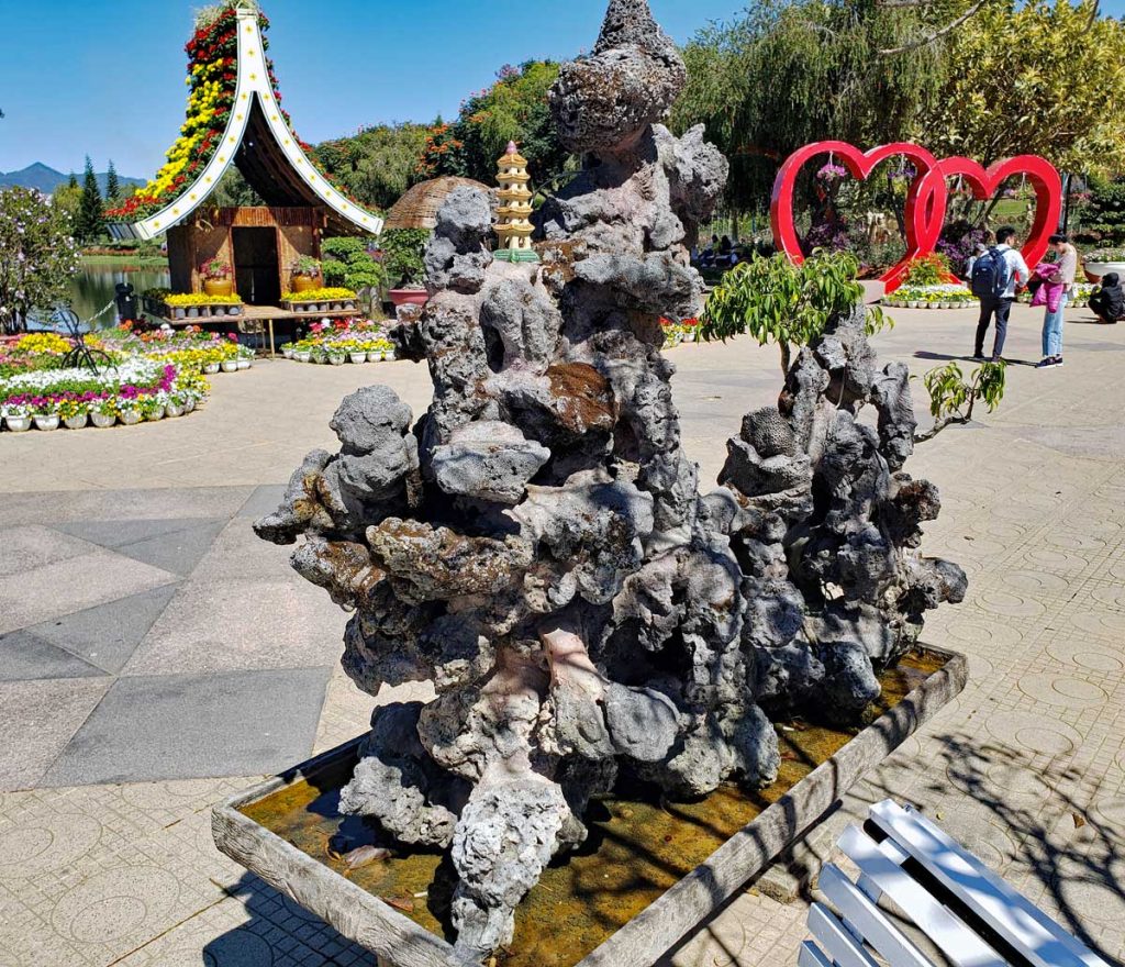
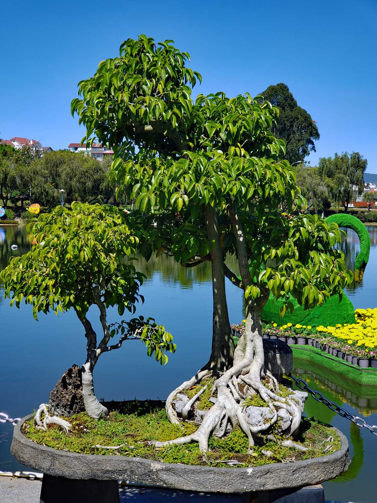
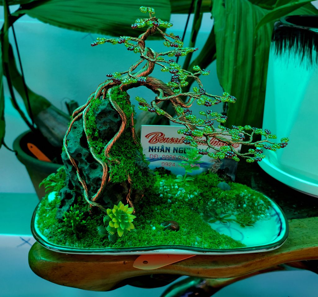
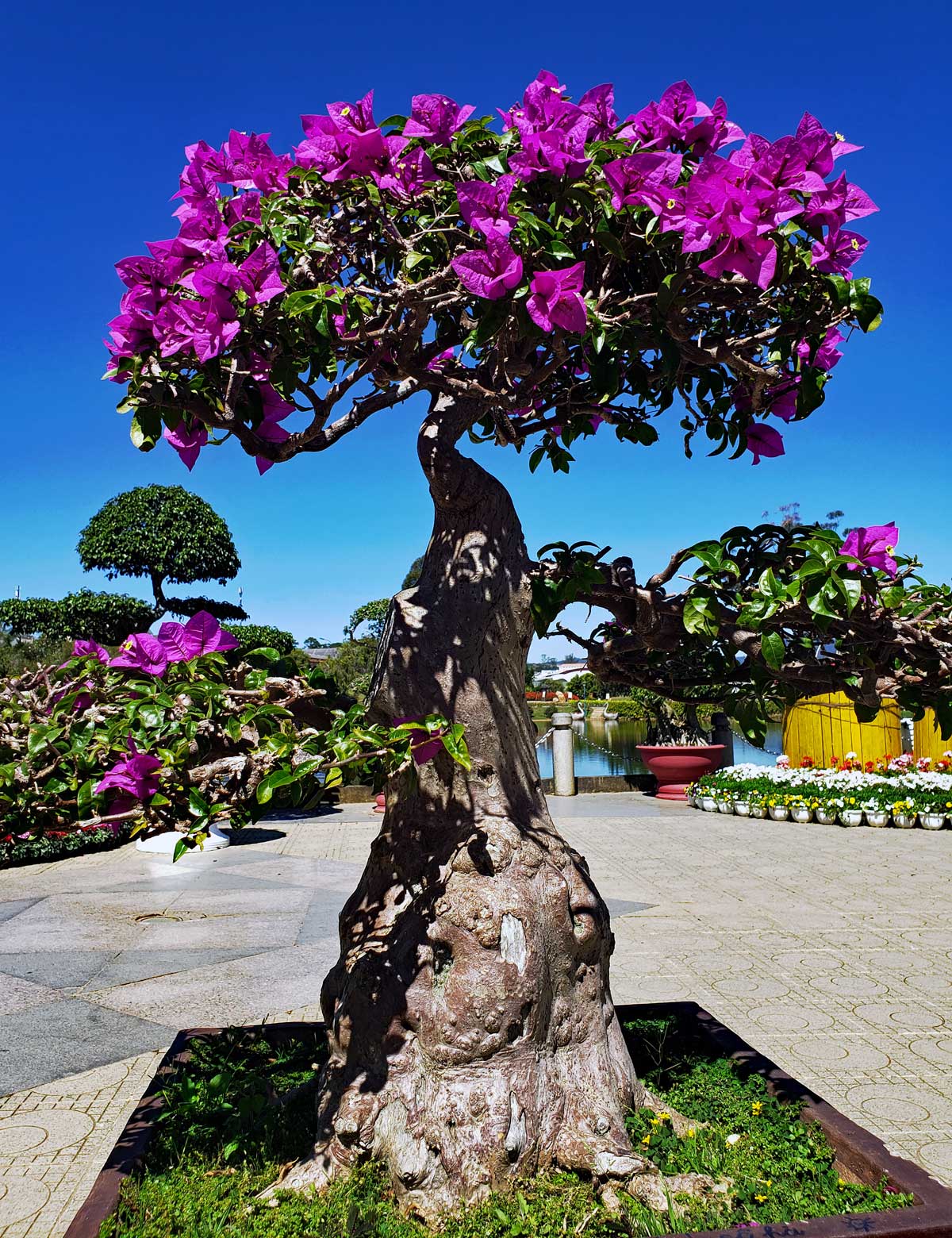
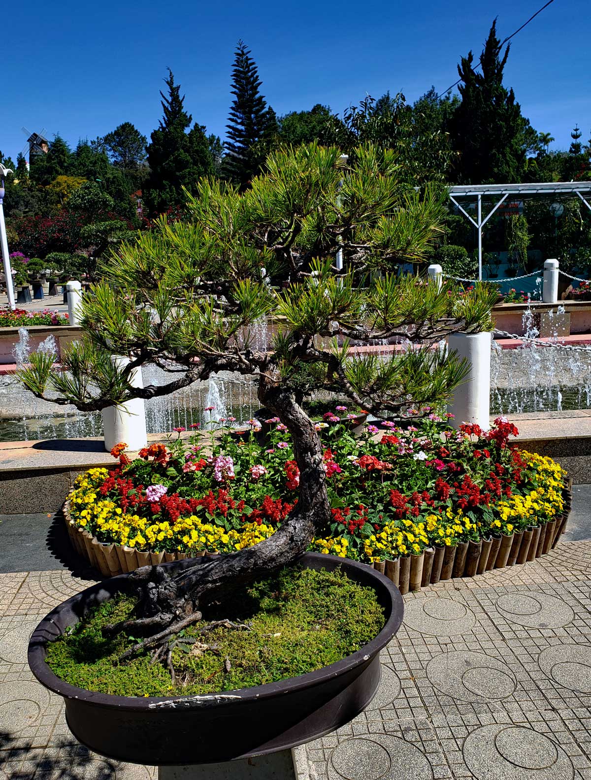
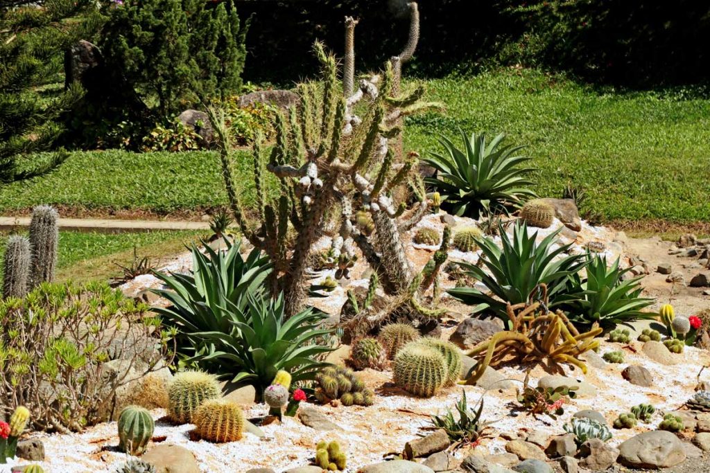
Bonsai is Japanese and means “Tray planting”. The Japanese art of Bonsai originated from the Chinese practice of creating miniature landscapes, similar miniature landscape creations are also popular in Vietnam. The Japanese Bonsai is more than thousand years old. The small trees are trained painstakingly and trimmed to mimic the features of a full size tree.
Another attraction at the Flower Park, with a mane and a tail…
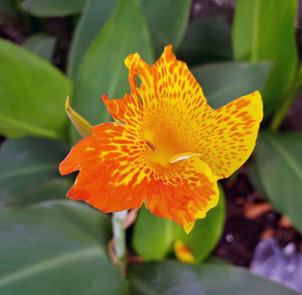
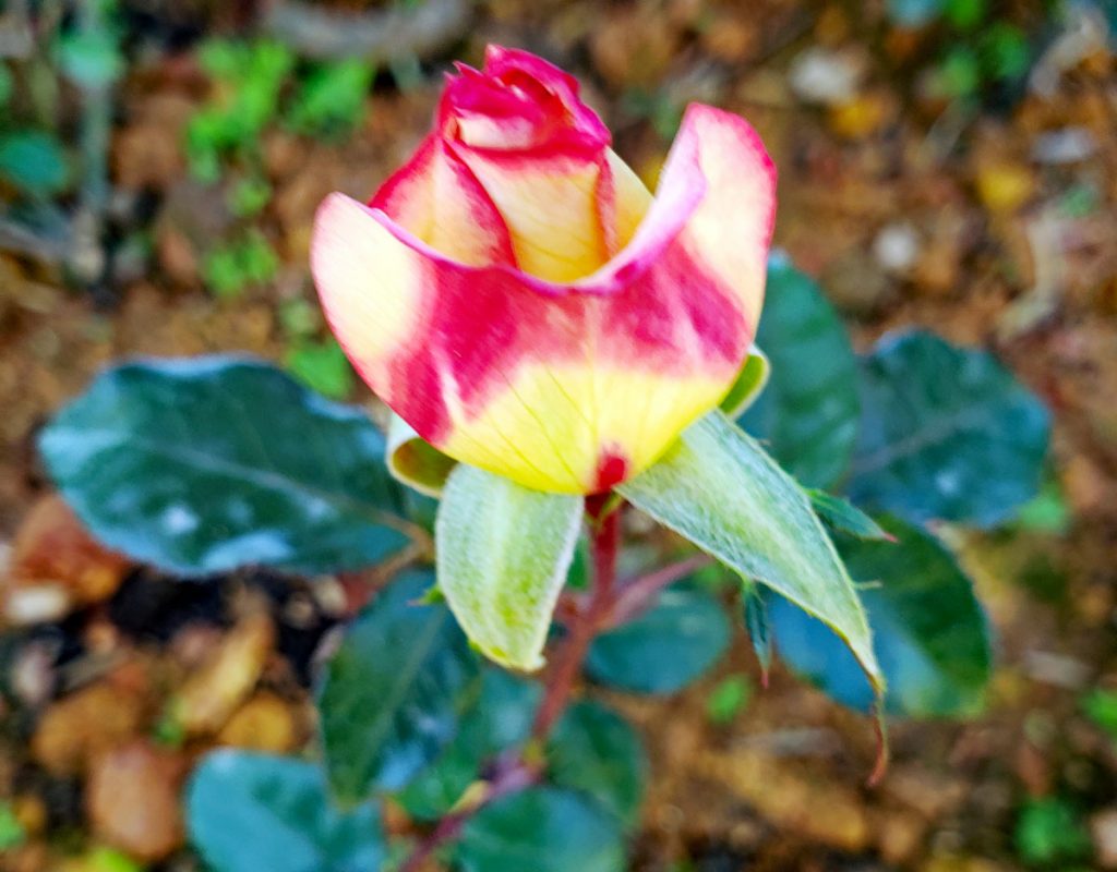
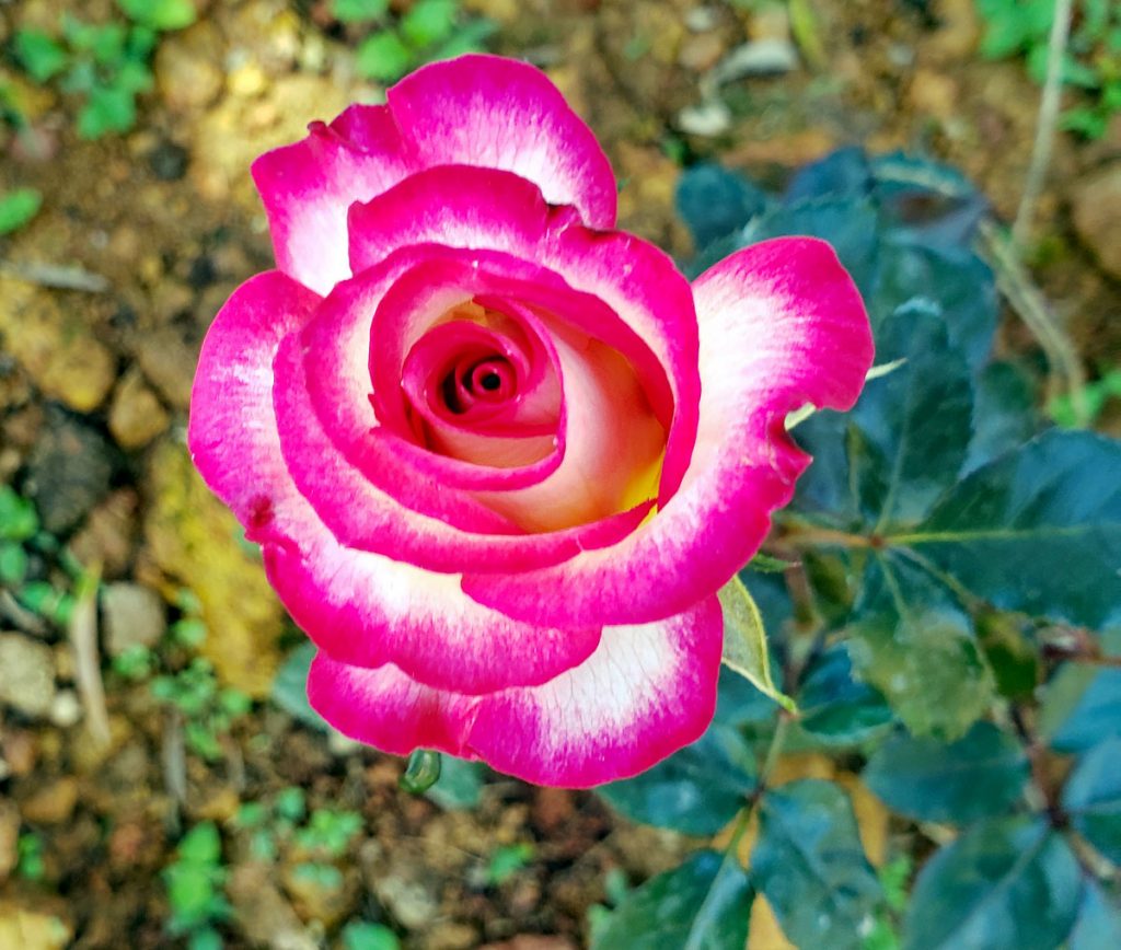
Orchids take up a big part of Flower Park, but there is room for some other flowers as well. Roses, Irises, tulips and more…
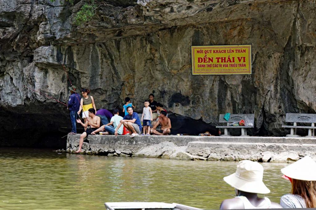
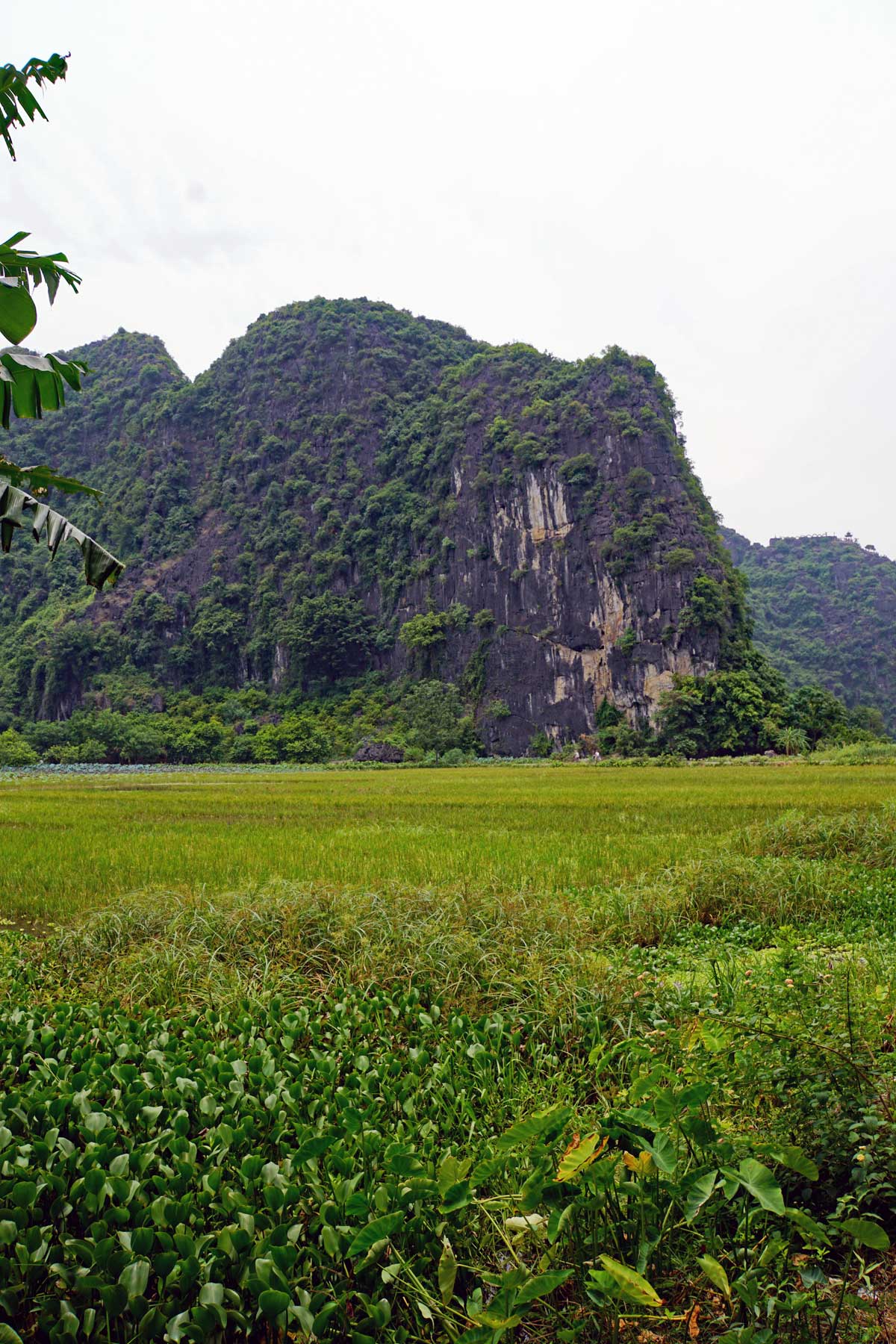
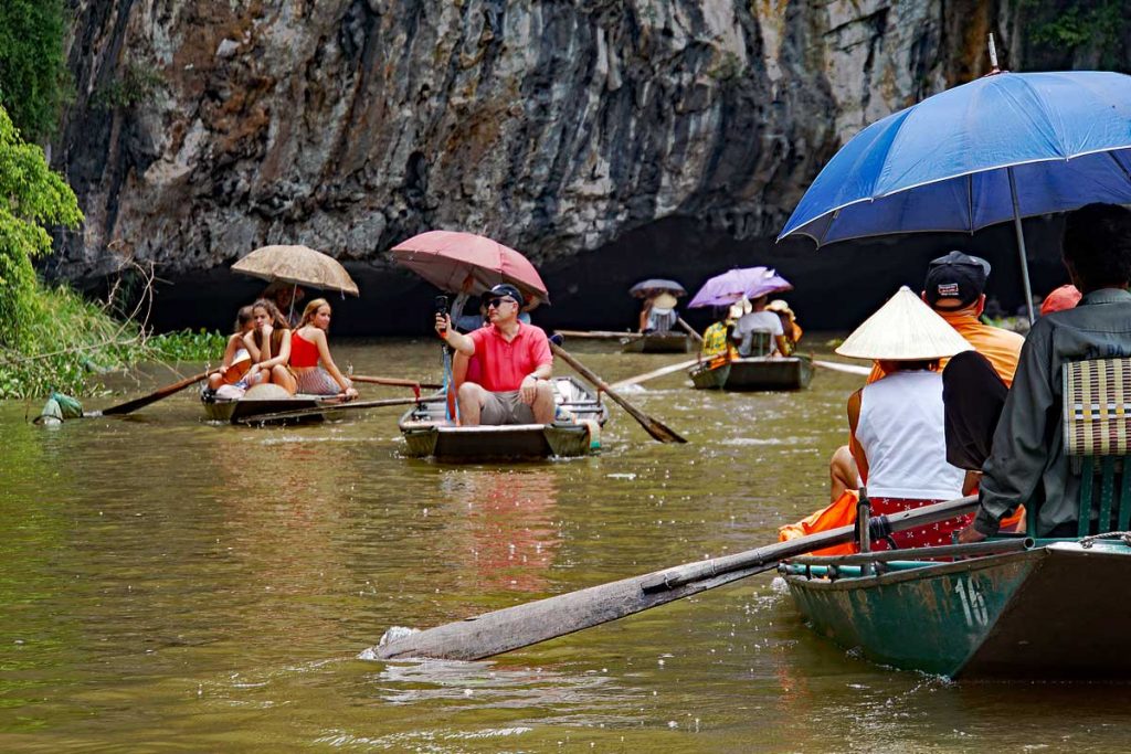
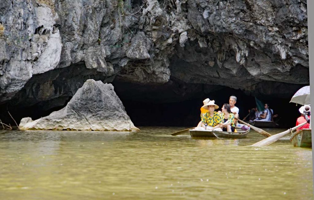
In Northern Vietnam in the Red River Delta, lies the city of Ninh Binh. The Red River runs through the area and enters into the Gulf of Tonkin. The Delta provides the local people with fish, rice fields and wildlife. The city is home to about 130,000 people, it is the capital of the Ninh Binh province and it is about two hours S/E from Ha Noi. The city and the province was of great importance as an ally to the French during the preceding events to the Sino-French war in the bay of Tonkin. The Sino French war started in 1884. The French artillery that was established on the citadel up on a hilltop controlled access to the Bay of Tonkin through the Red River.
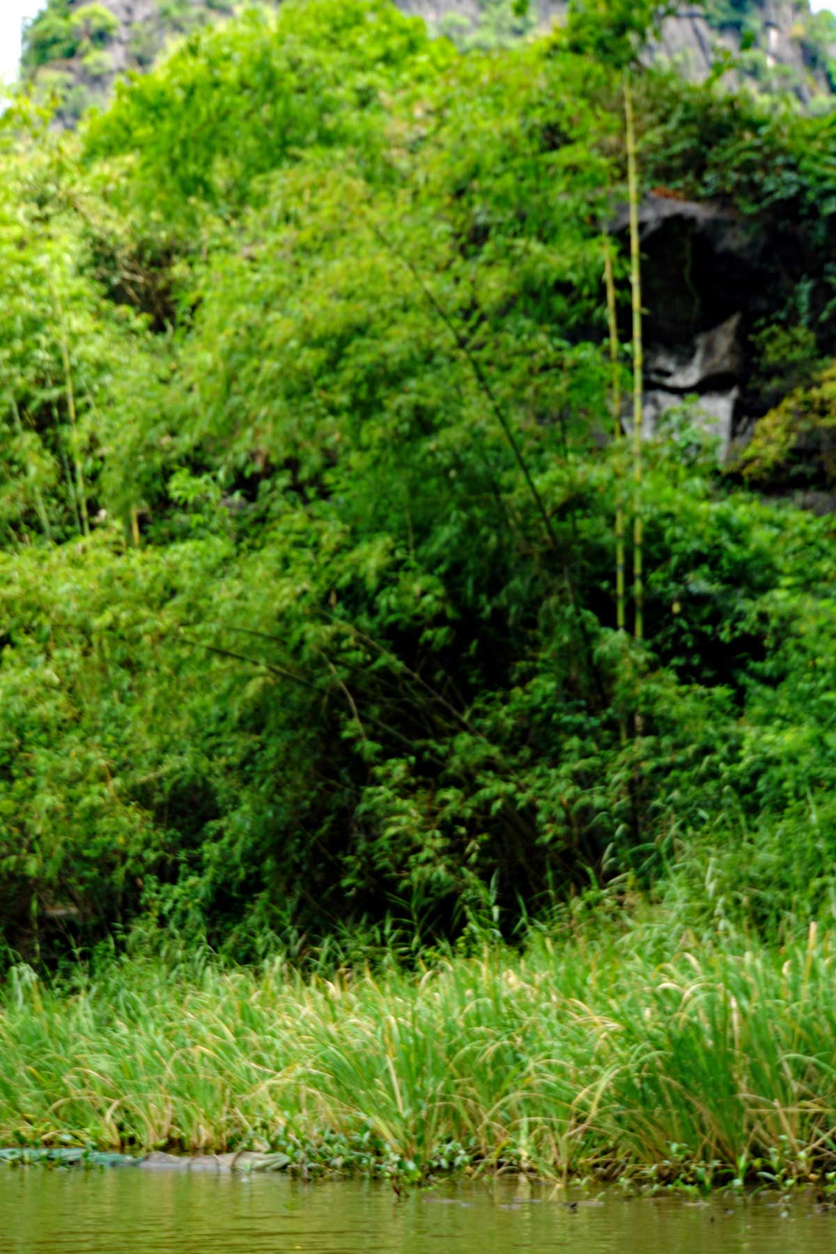
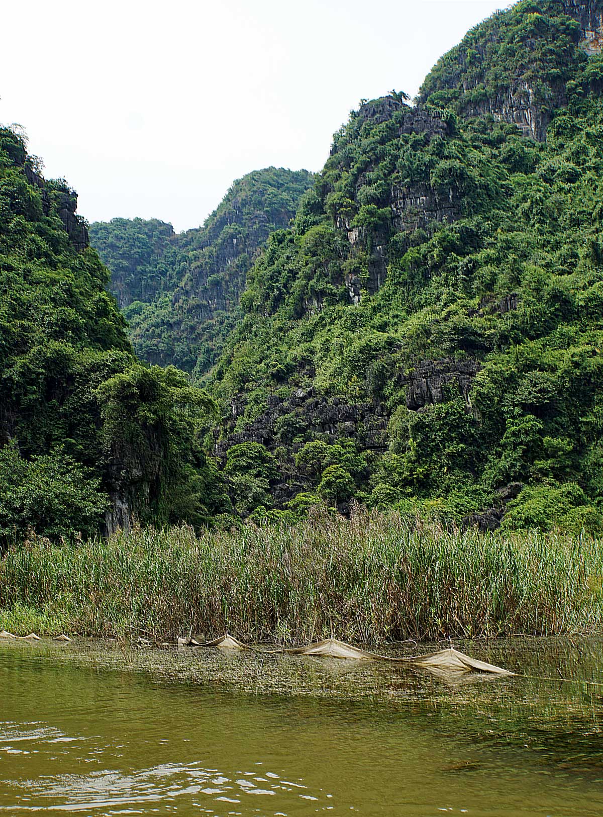
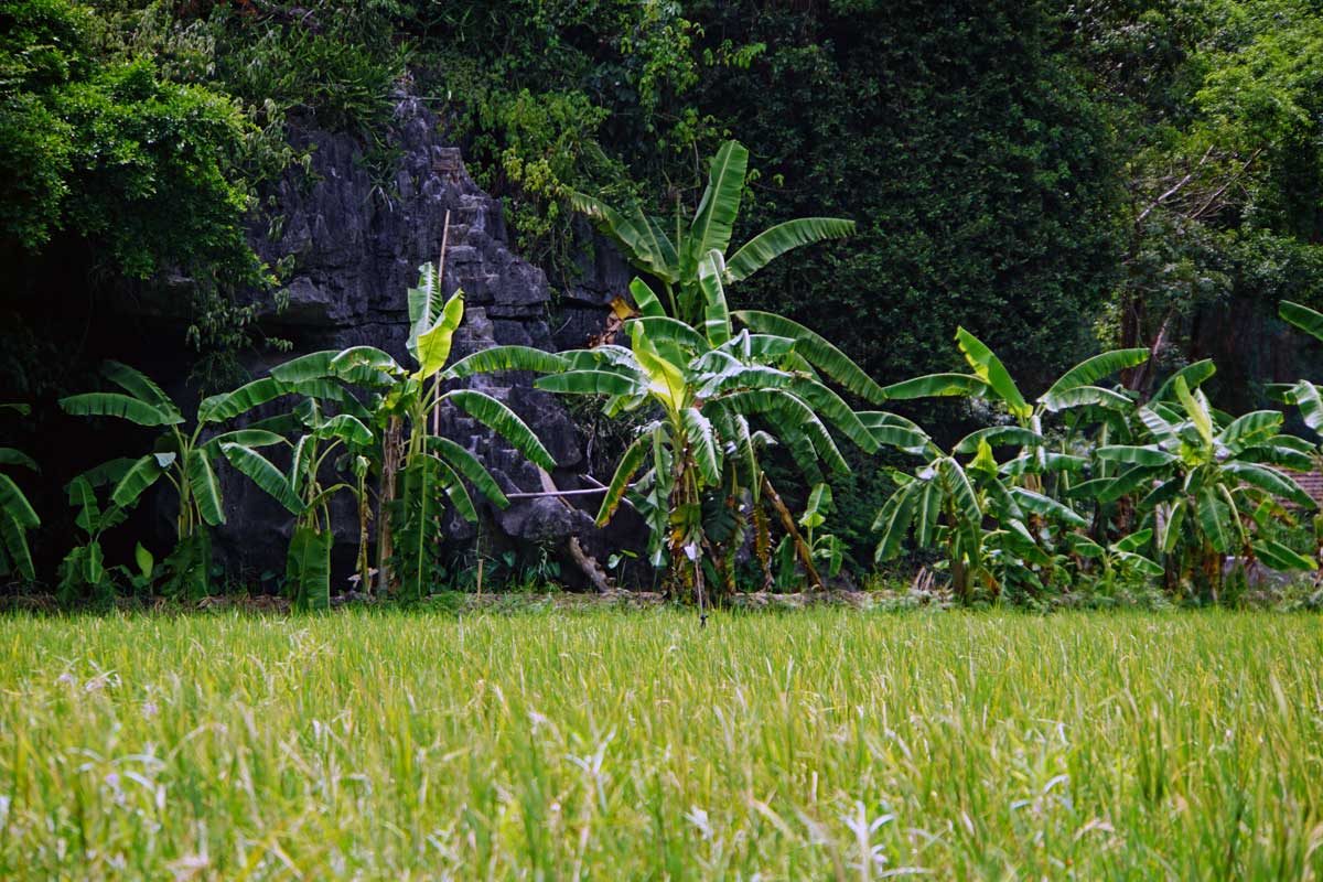
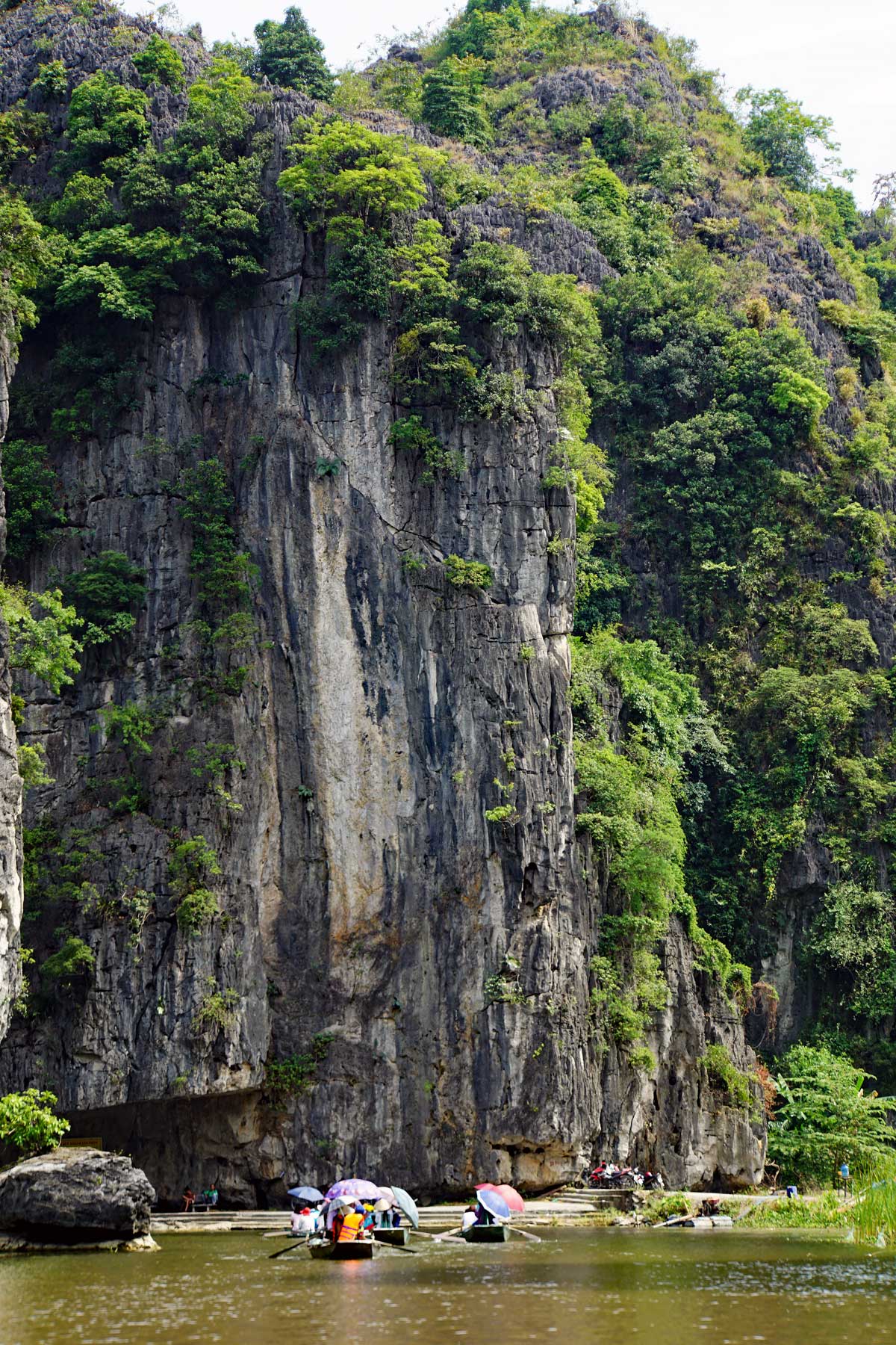
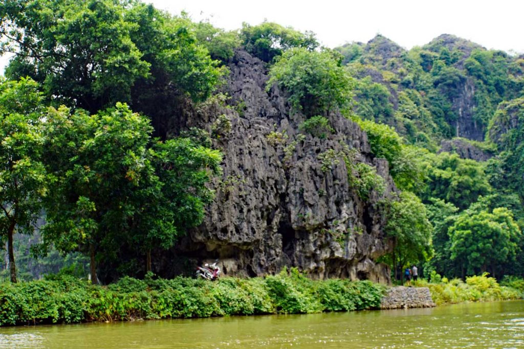
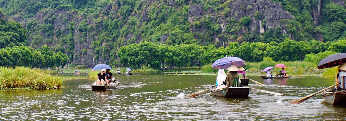
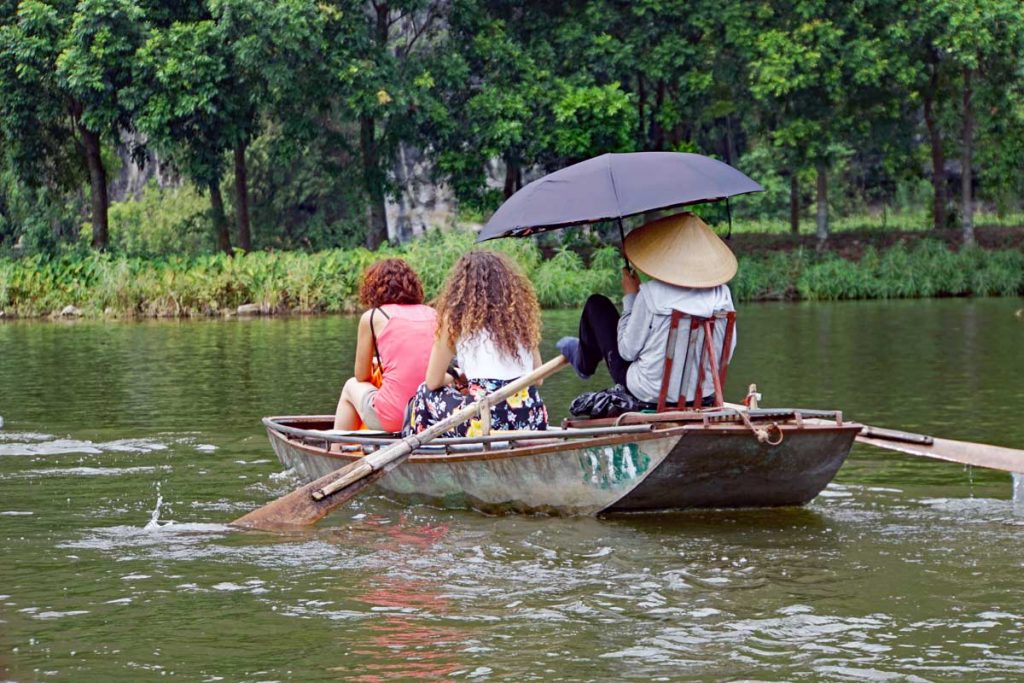
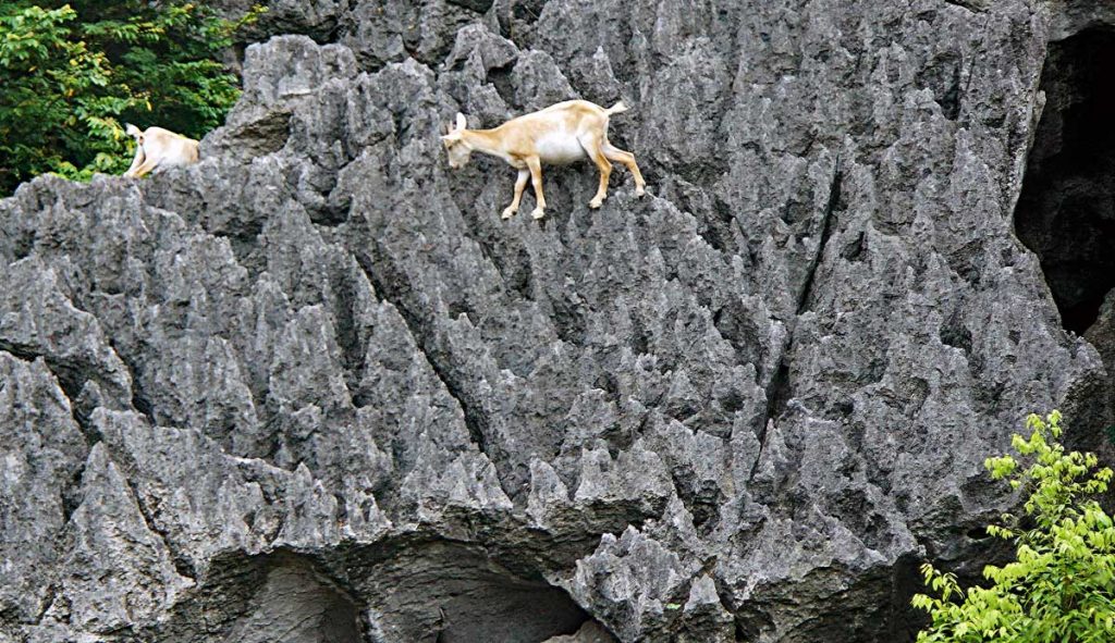
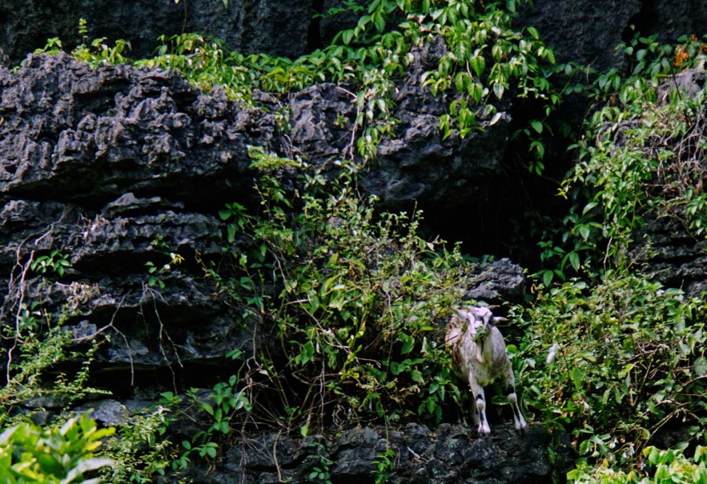
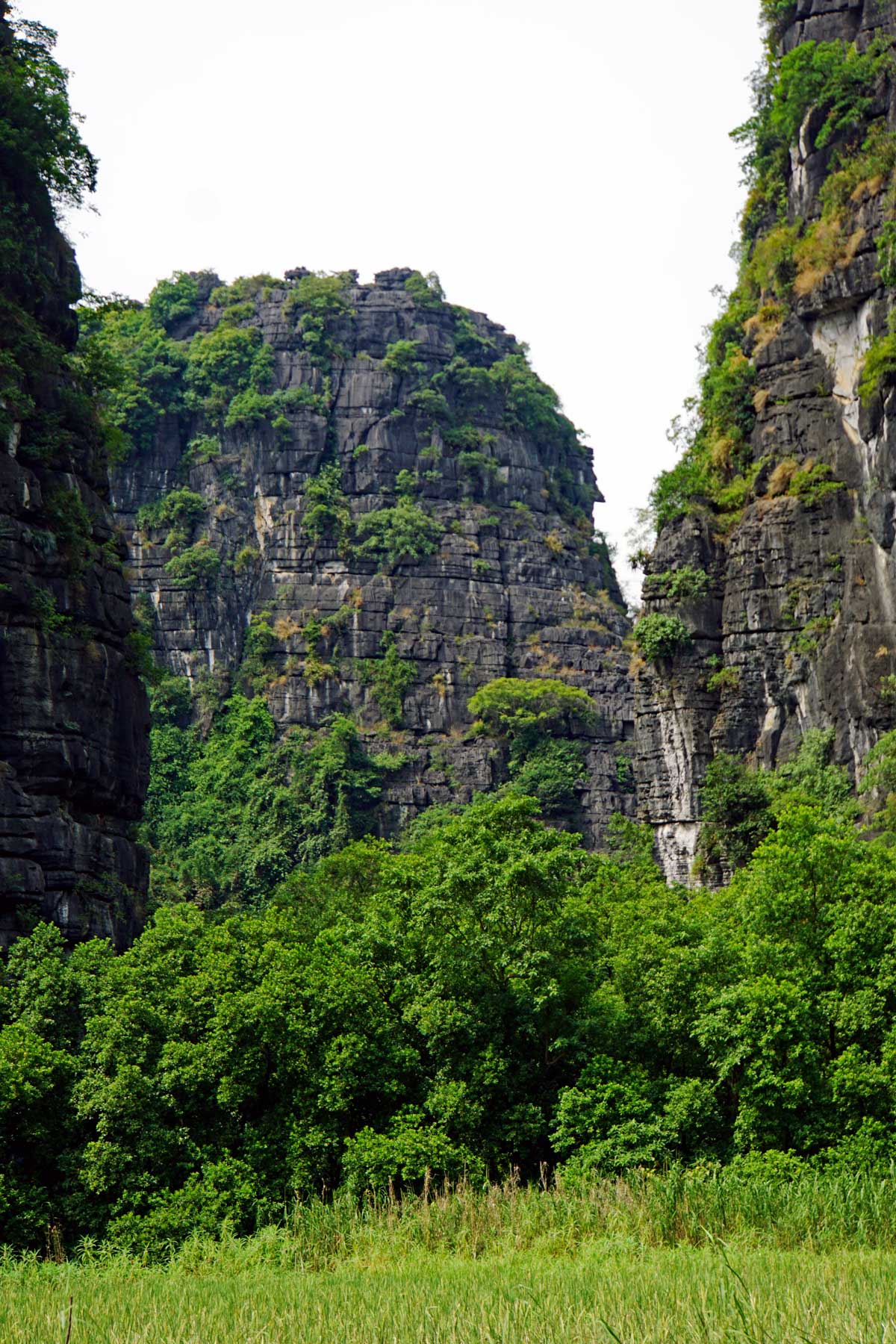
Mountain Goats by the Red River, skilled at Rock Climbing…A Mountain Goat looking at you.There is some very beautiful scenery along the Red River, limestone cliffs and green rice fields mixed in with the green subtropical vegetation.
The Red River got its name because the water is filled with silt from the fertile Red soil that is in the area. This gives the river a Reddish Brown tint.
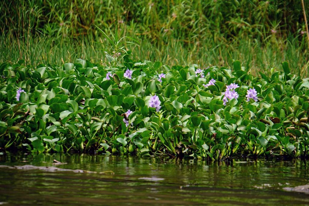
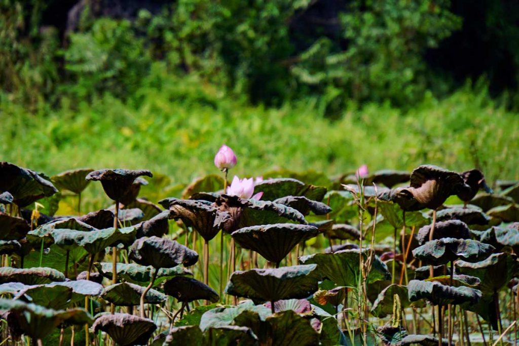
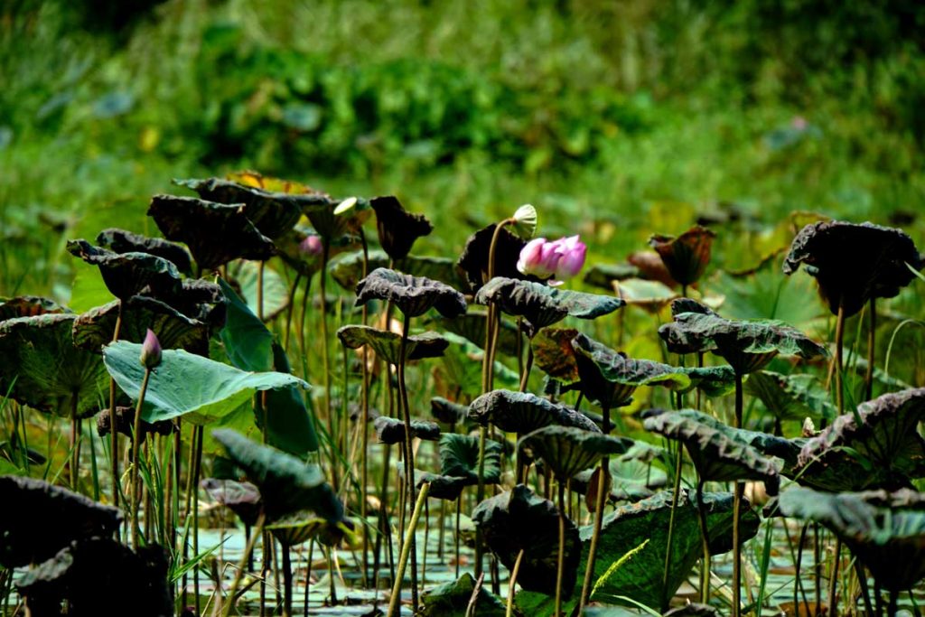
Lotus flowers are in abundant supply along the river.Lotus flowers
The Lotus flower – Nelumbo nucifera a.k.a. Indian Lotus grows “en masse” along the banks of the Red River in the Delta.
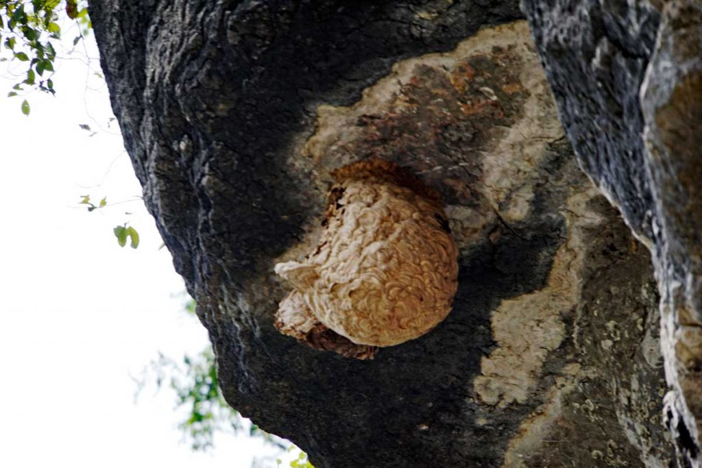
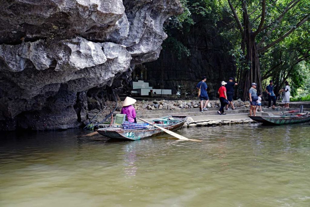
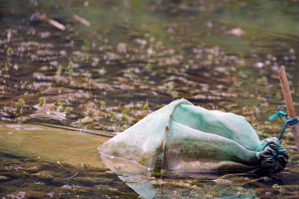
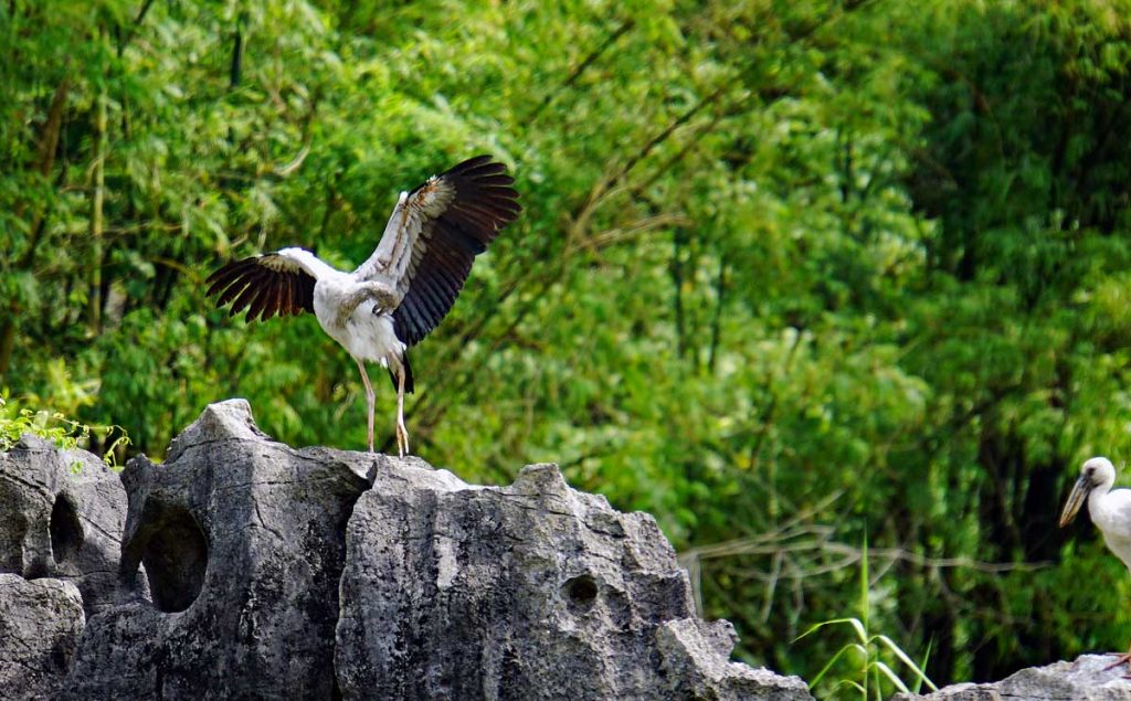
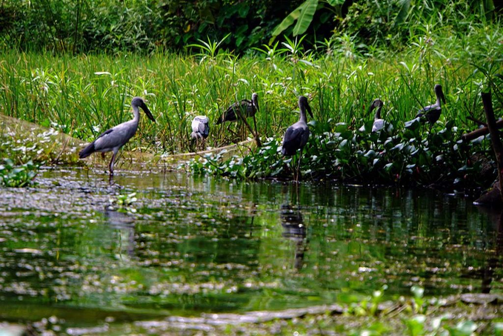
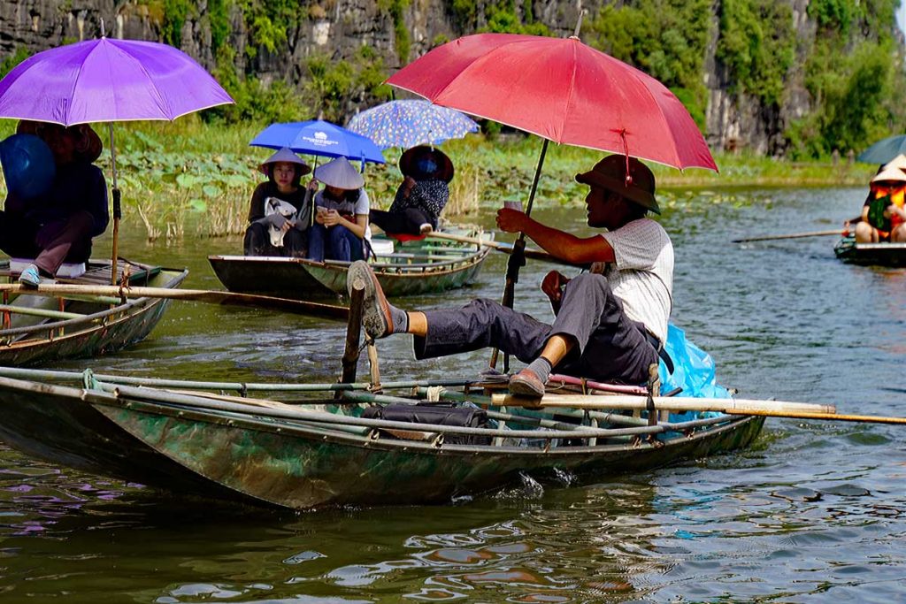
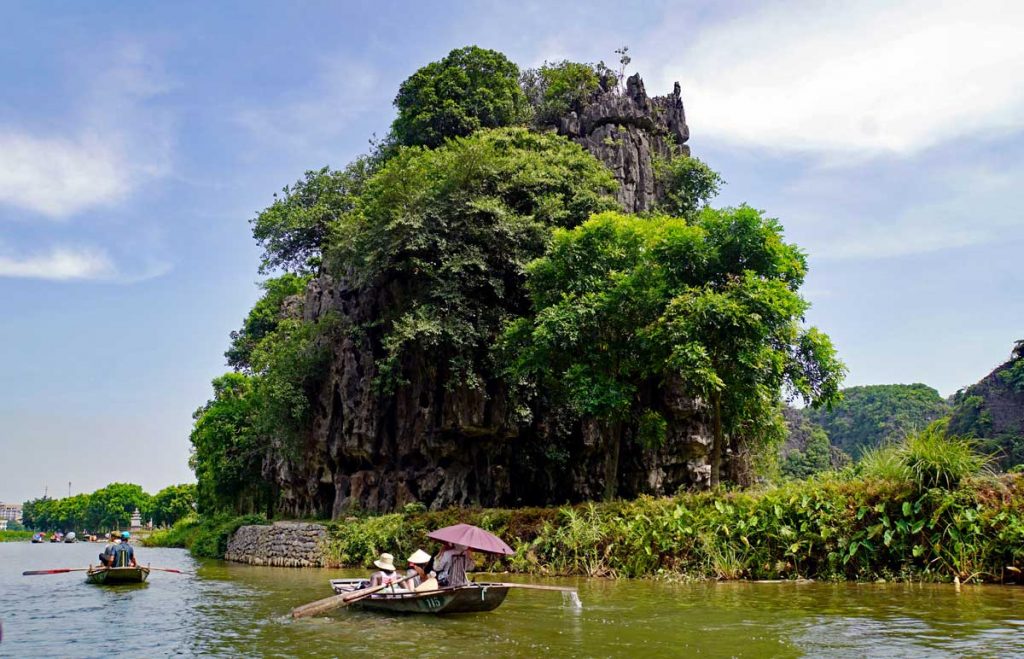
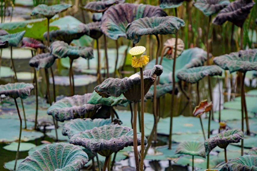
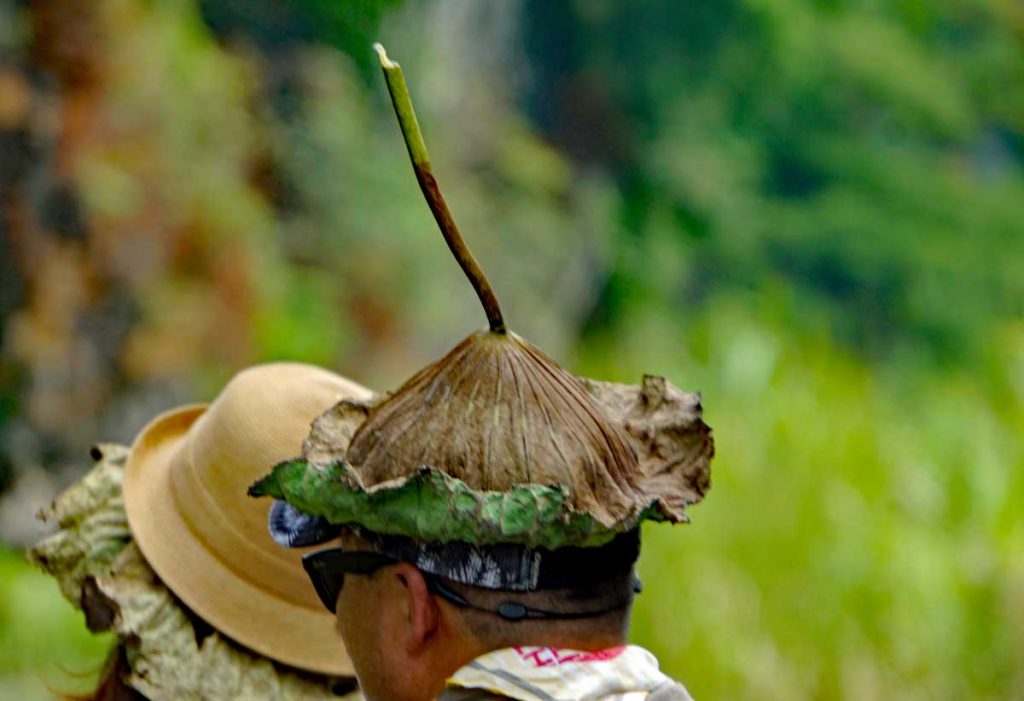
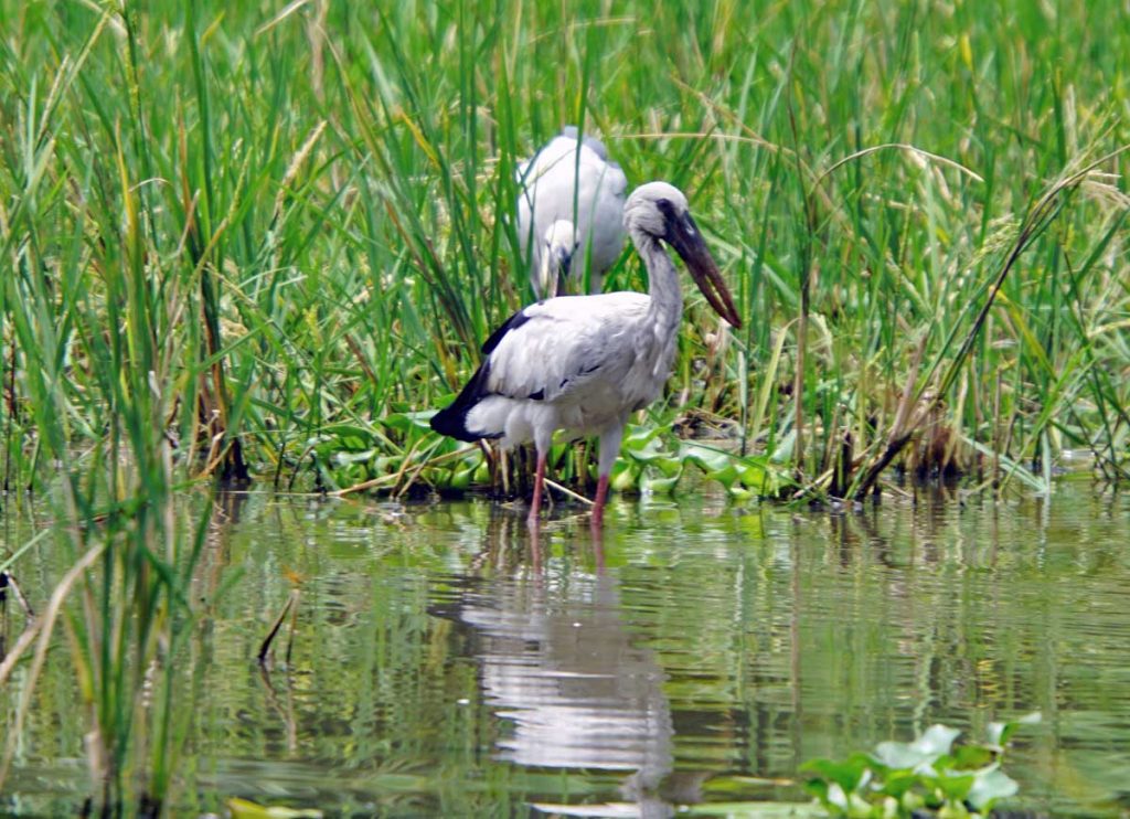
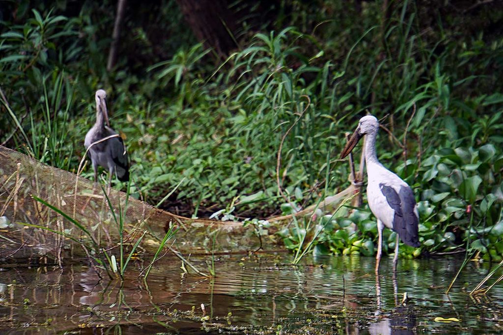
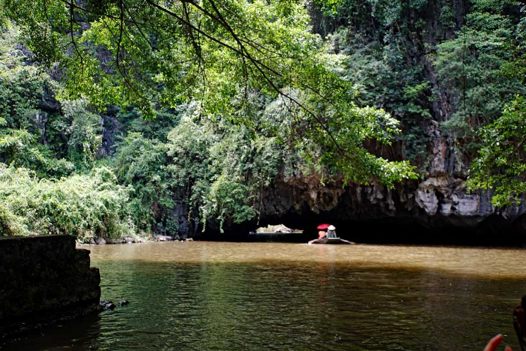
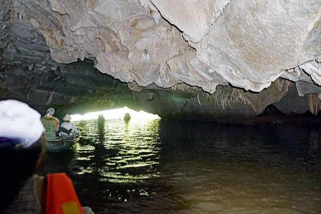
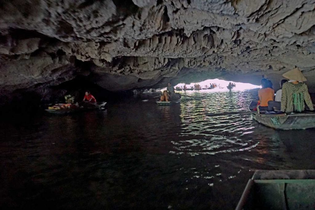
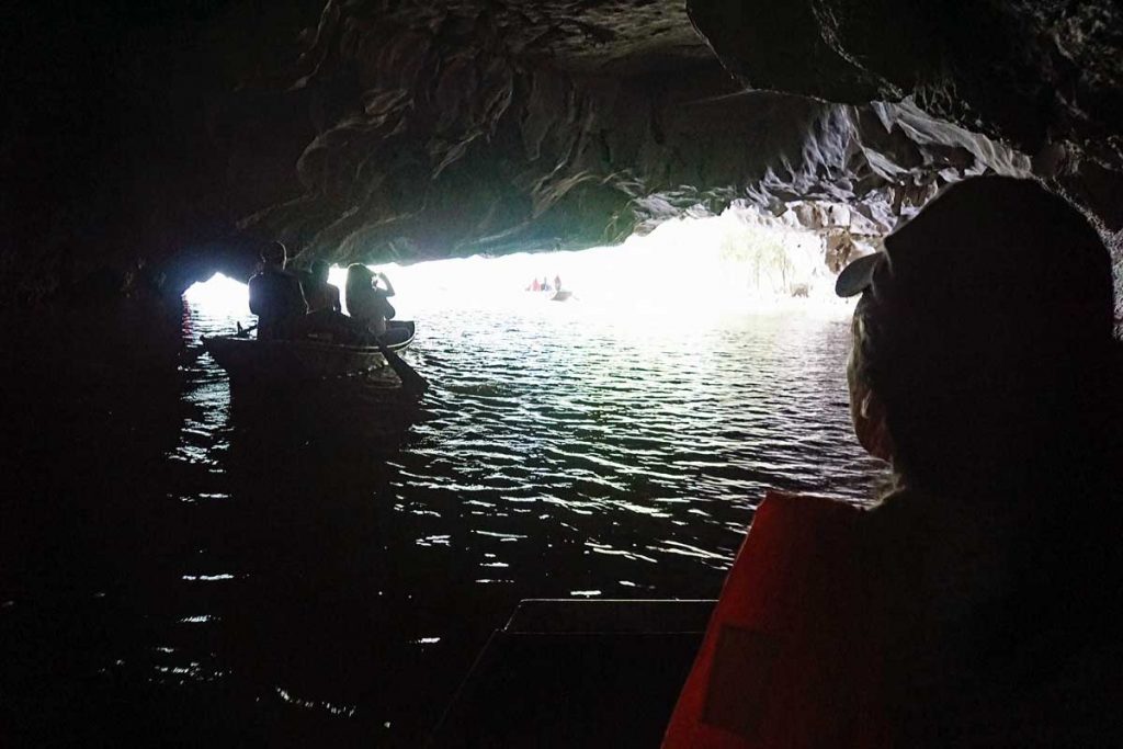
A beautiful Lotus flower.This is the seed pod of a spent Lotus flower, and this is what assures the proliferation of Lotus flowers along the river.Here is an alternative use of the leaf of the Lotus Flower.Limestone rock formations surround the river.Red River DeltaAsian Open bill Storks in the Red River DeltaAsian Open bill Storks again.One of the caves that the Red River runs through on the way out into the Sea of TonkinThe river can get crowded at times.A cave that the river has carved out.Interior cave view.Interior cave view.Interior cave view.Hole in the [cave] wall.Swallows nest outside the cave.A family out on a fishing trip on the Red River.Bamboo stand along the river.A Temple riverside in a cave.FlowersA long hoop net sits along the side of the river.Hoopnets along the river.Closeup of a Hoopnet.
Hoopnets are used by the local fishermen on the Red River. The bait sits at the end of the hoop and the fish swims through cylindrical portals that has a wide beginning but tapers to a smaller opening so the fish can not find its way back out. The nets are generally situated with the wider opening facing downstream to prevent clogging the net with silt.
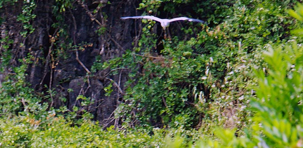
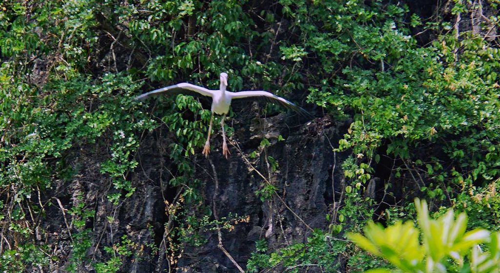
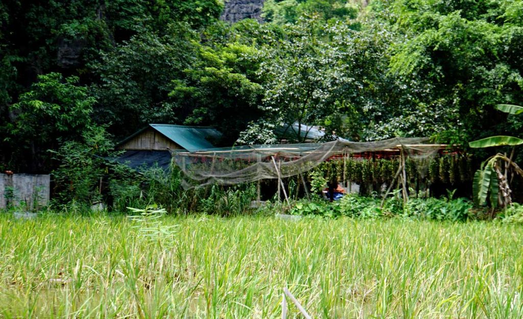
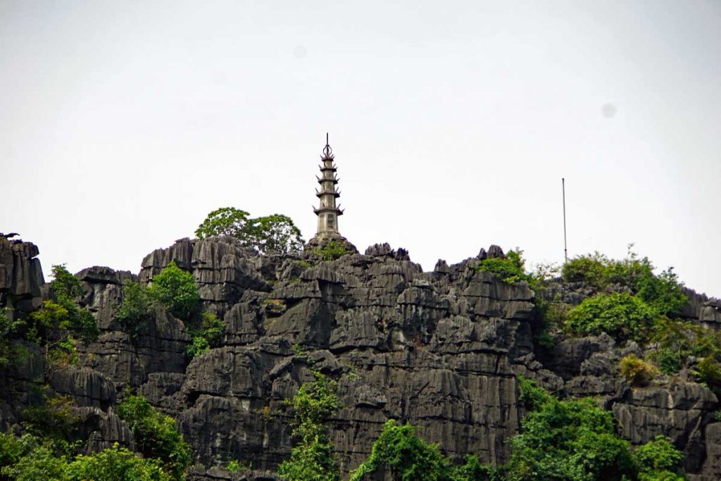
Asian Open bill Stork taking flight.Asian Open bill Stork on approach.Asian Open bill Stork cleared for landing.The Stork has landed.A homestead along the river.Banana plants at the homestead.Slowly rowing down the river.Foot rowing style study.Limestone formations line the river.Hang Múa with a viewing area on top of the mountain. You can climb 500 steps up to the top and be rewarded with great views of the river and the Delta.
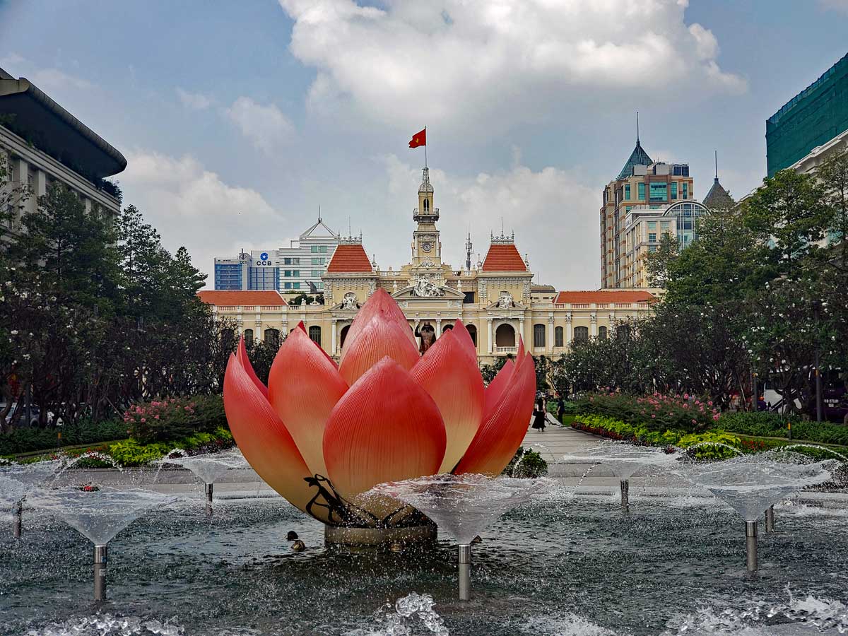
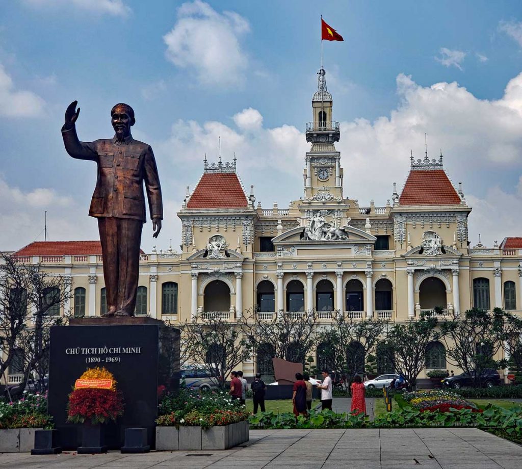
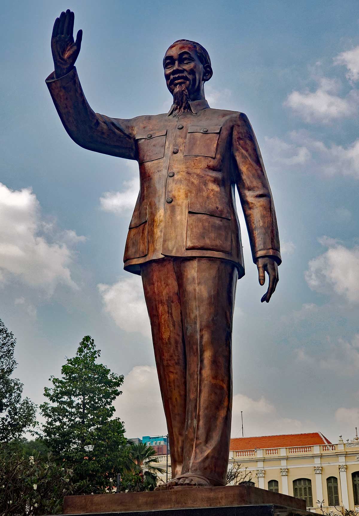
Ho Chi Minh Square is located in central Saigon, District 1. It is in front of Ho Chi Minh City Hall.
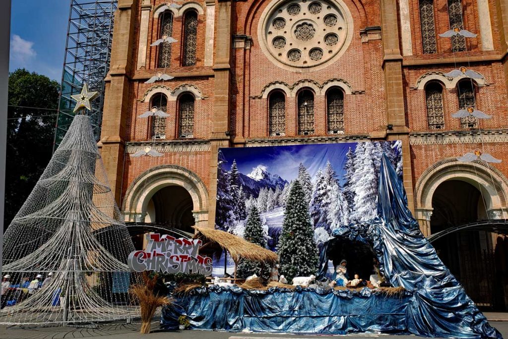
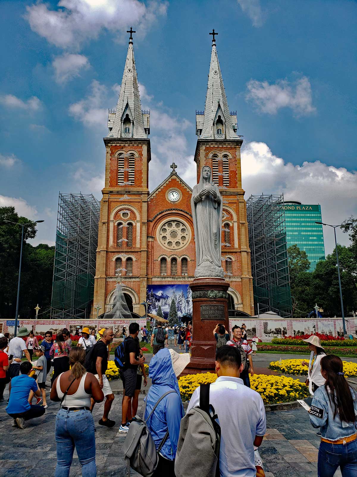
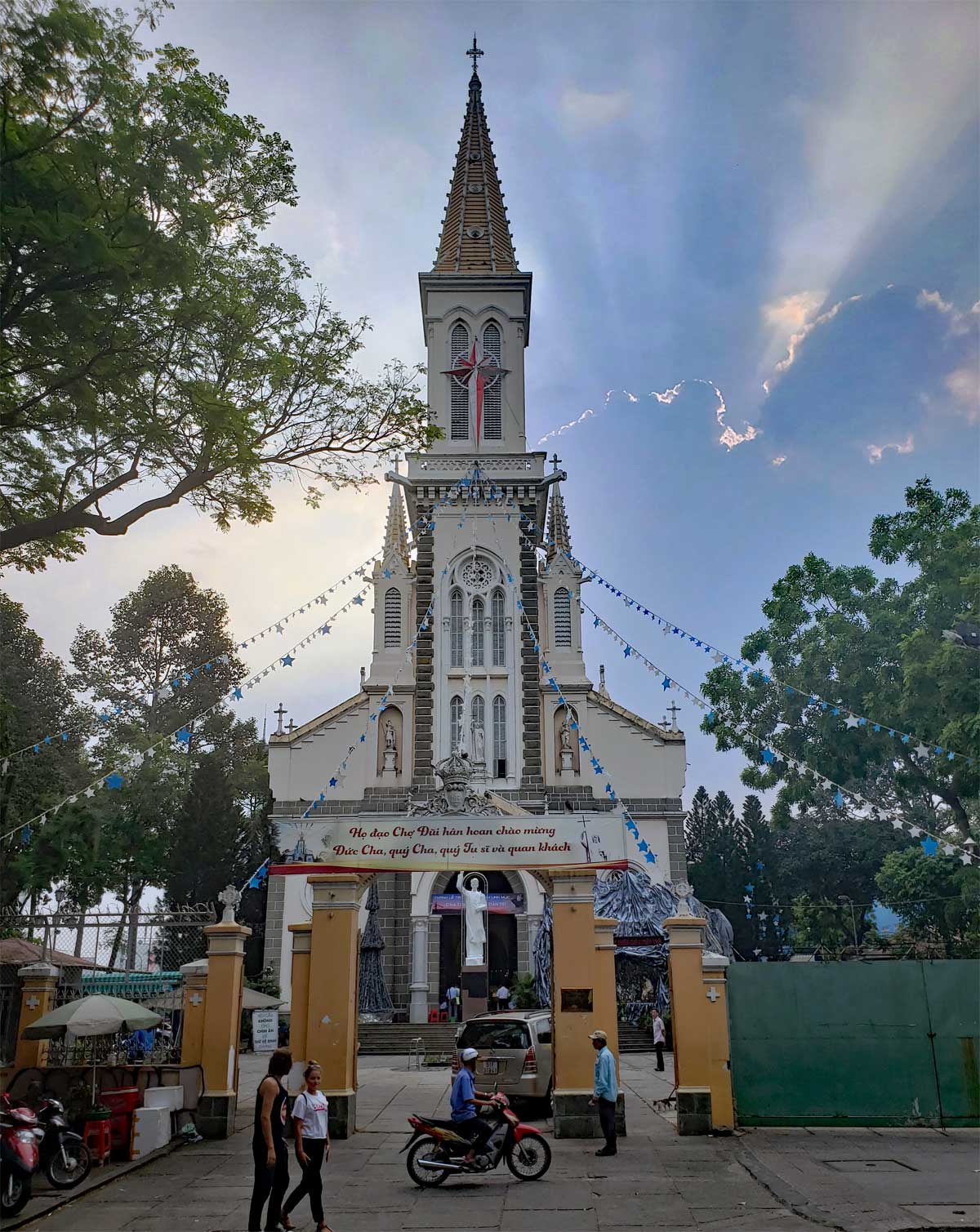
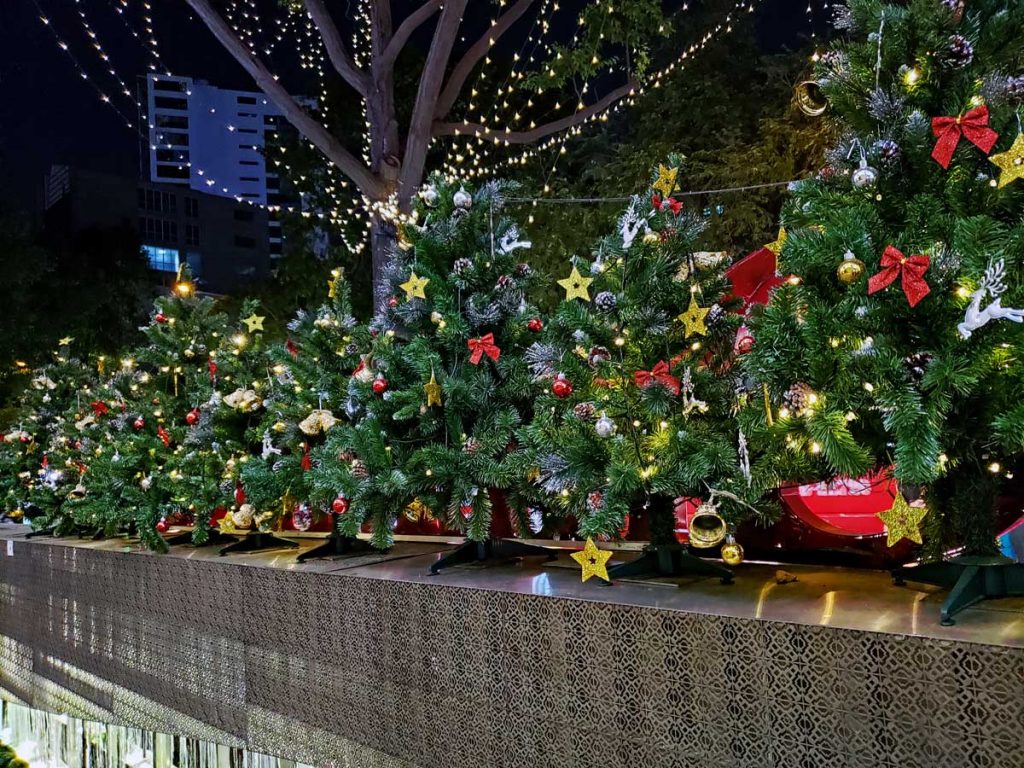
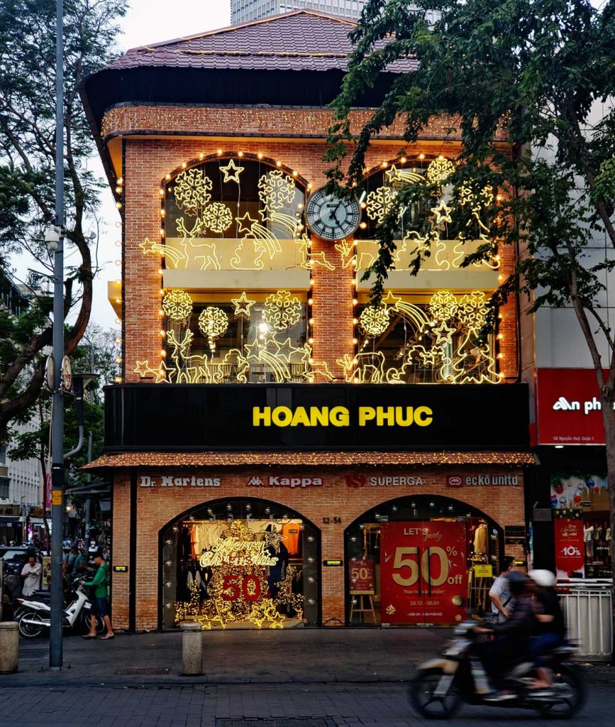
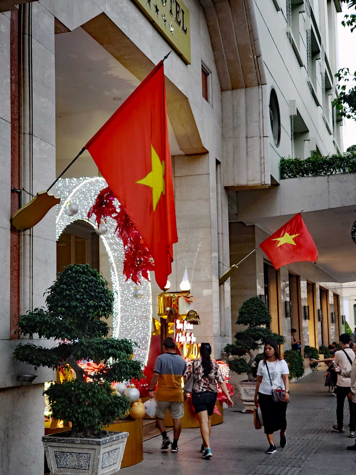
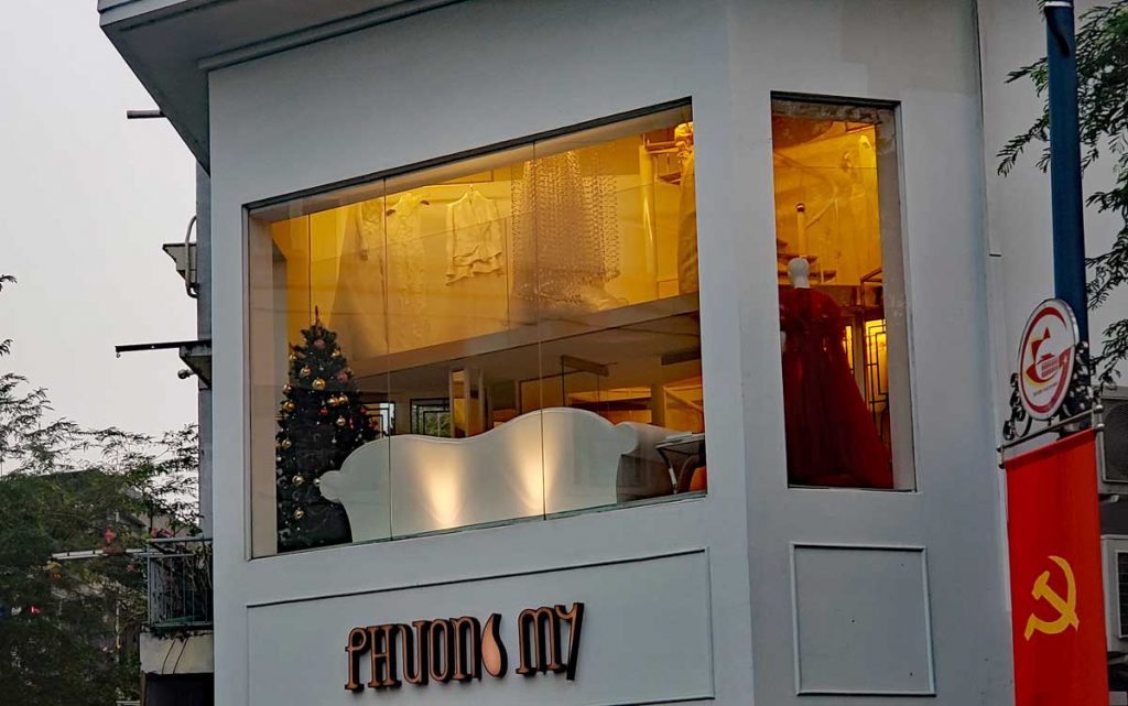
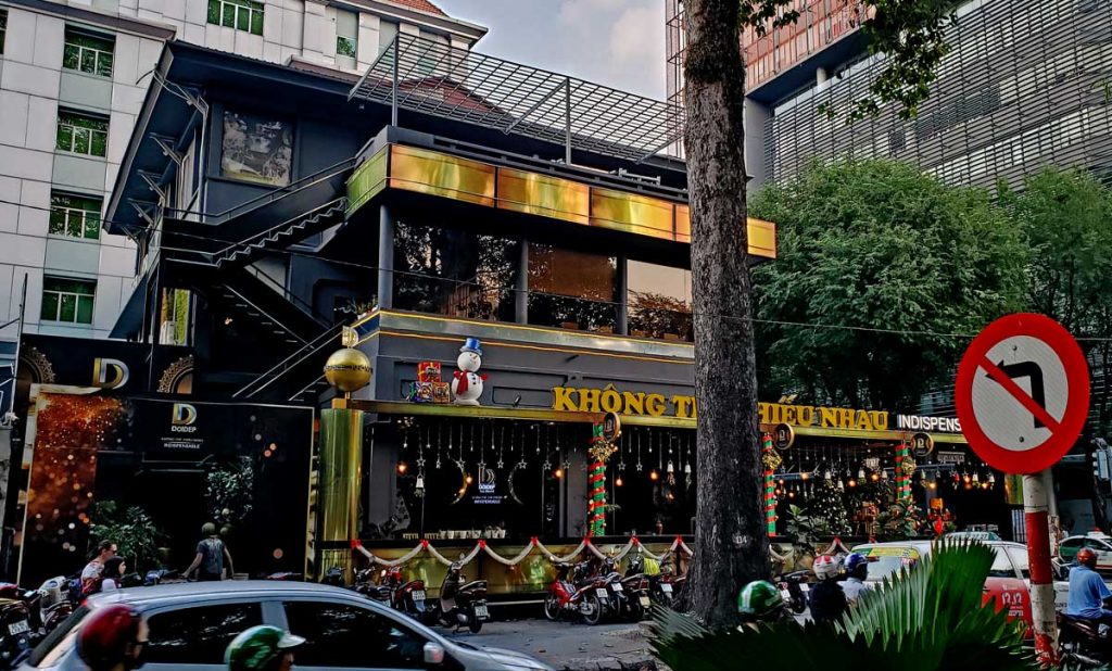
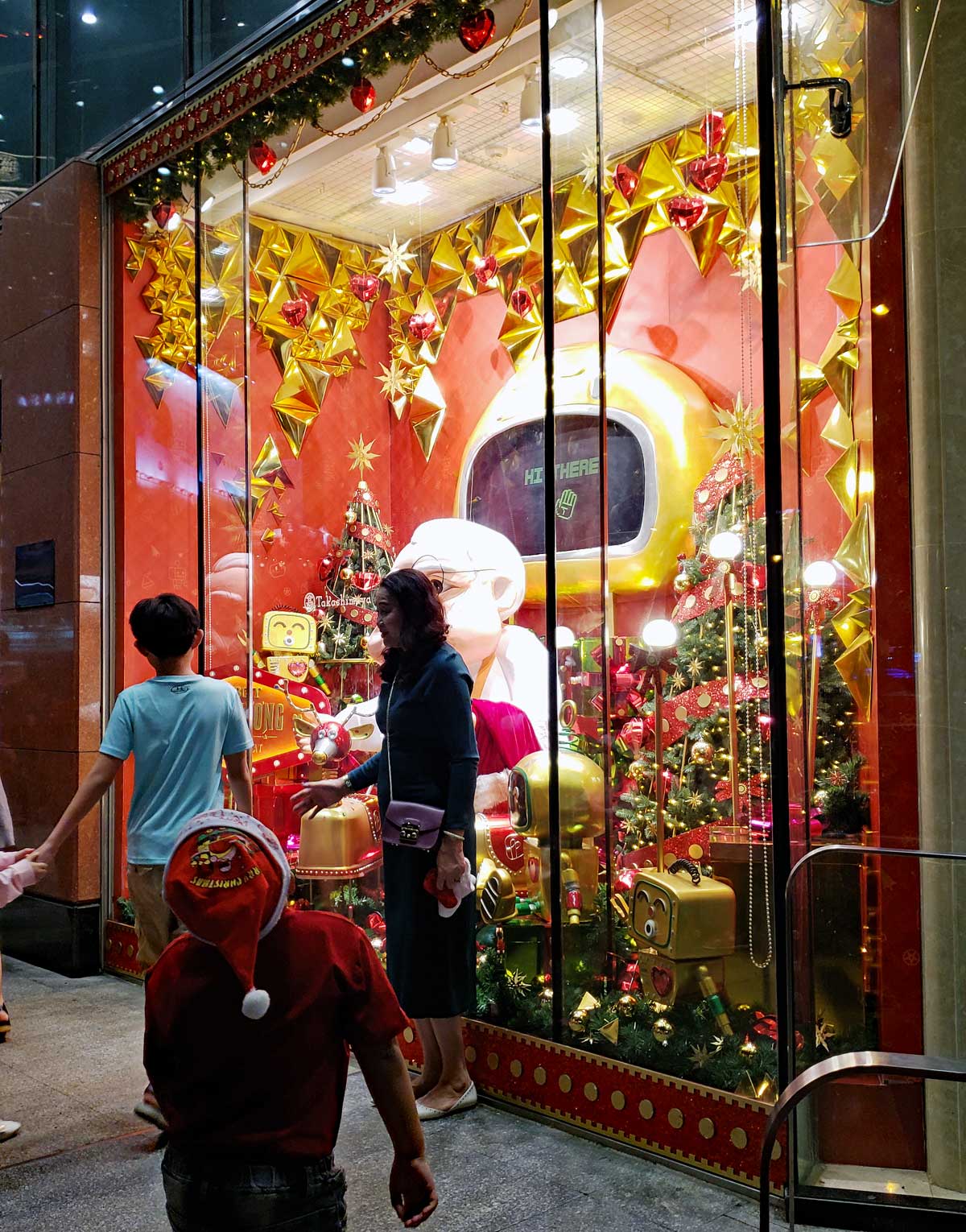
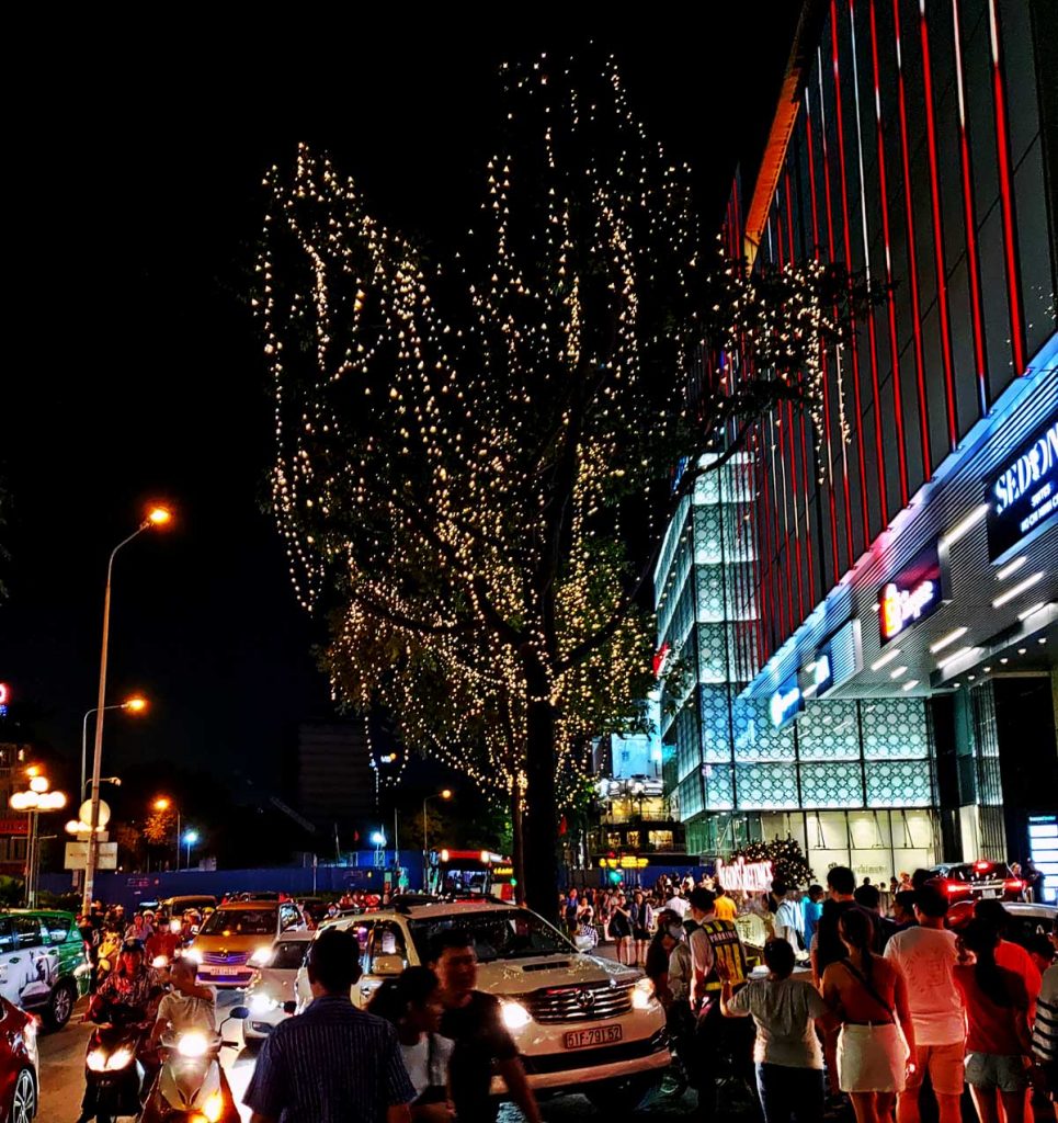
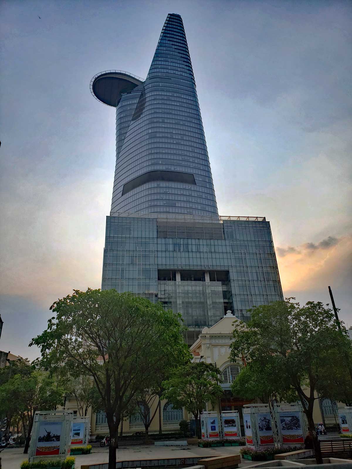
Ho Chi Minh with City Hall in the background.Uncle HoChristmas display at Notre Dame de Saigon.Notre Dame de SaigonTan Dinh church in Saigon.Christmas treesHoang Phuc decorations.Hotel at Ho Chi Minh SquareA store window display.A restaurant with a snowman.A popular Santa window.Trees are lit up.Bitexco Financial Tower
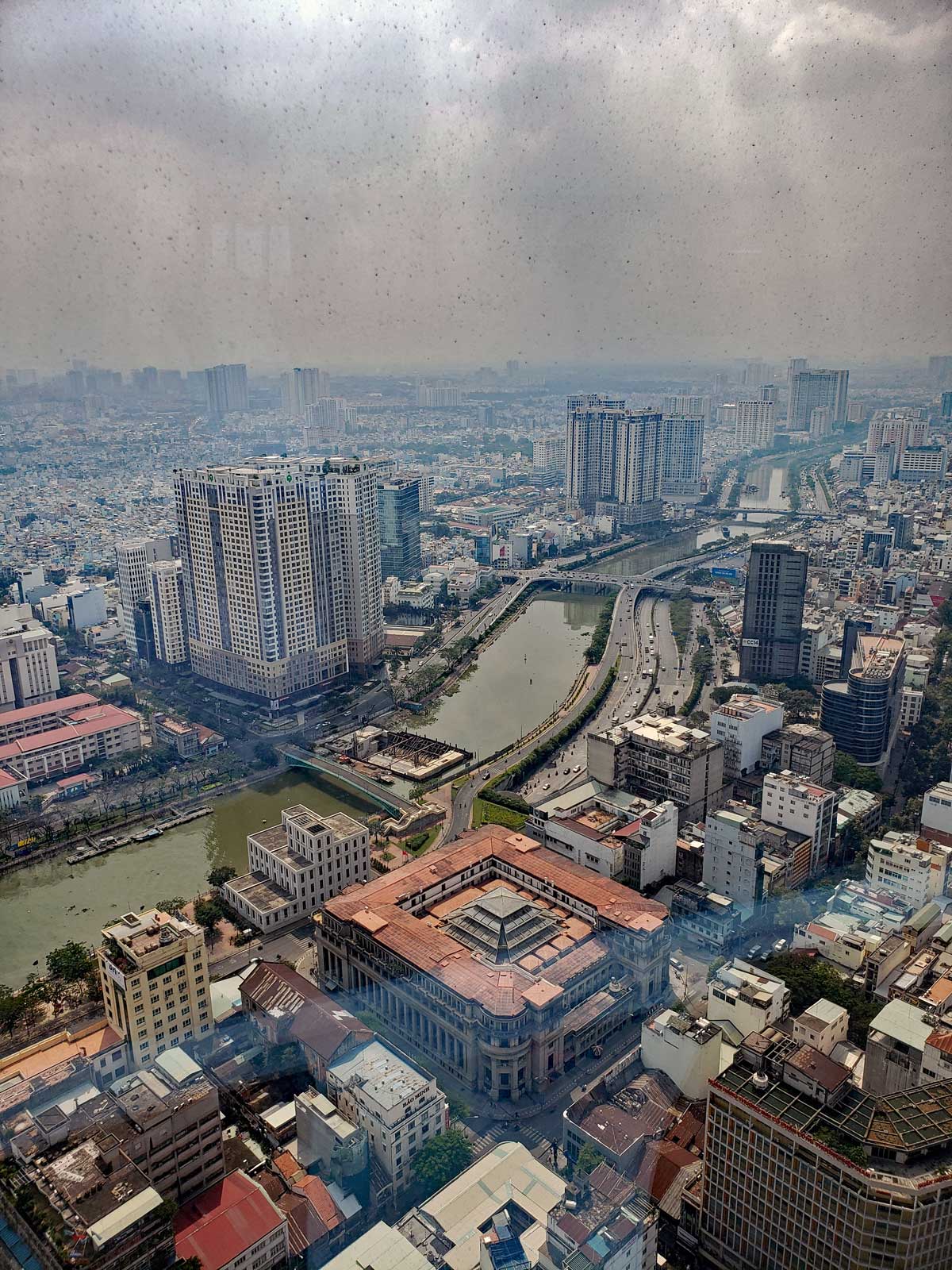
Bitexco Financial Tower is the second tallest building in Vietnam at 264m at the top of the spire. Viet Nam’s tallest building is Hanoi’s Keangnam Hanoi Landmark Tower at 349m.
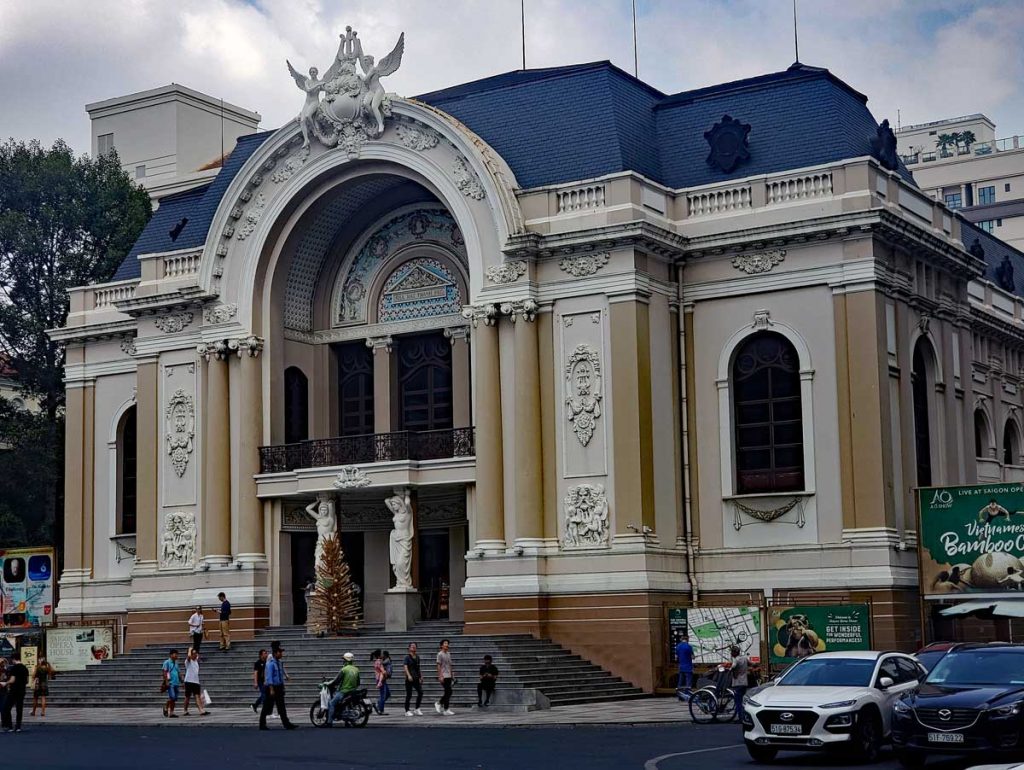
View from the tower.Saigon Opera House.
Saigon Opera House opened on January 1 1900. It is an example of French Colonial Architecture.
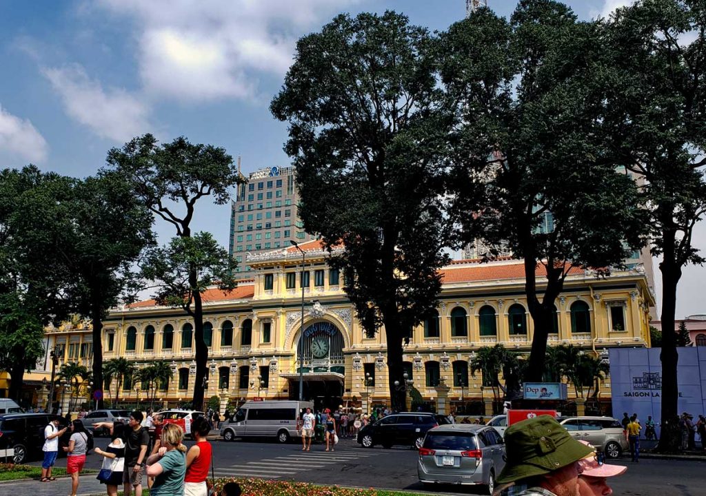
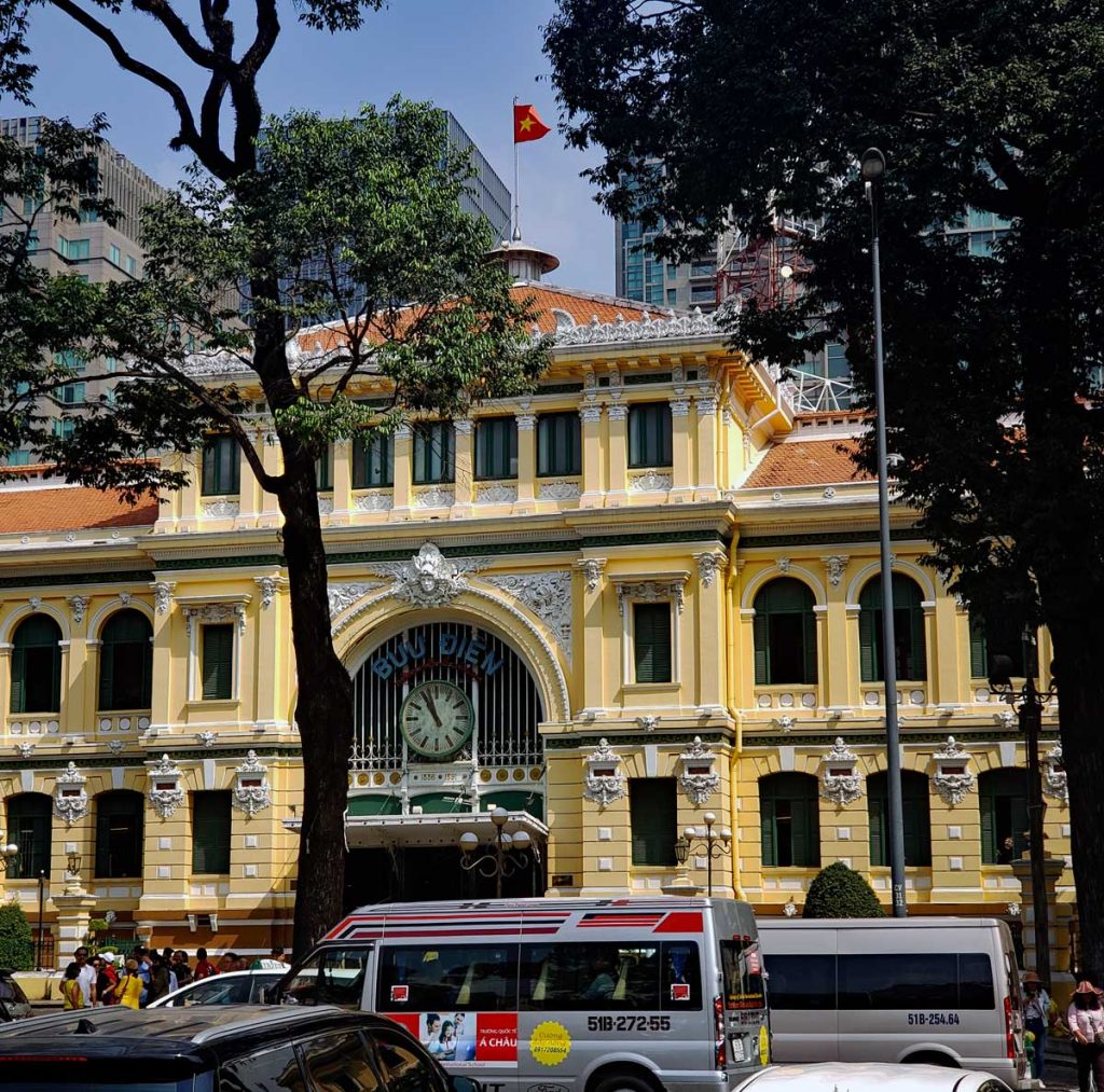
Saigon Central Post Office.Saigon Central Post Office
Saigon Central Post Office opened in 1891 during the French rule.
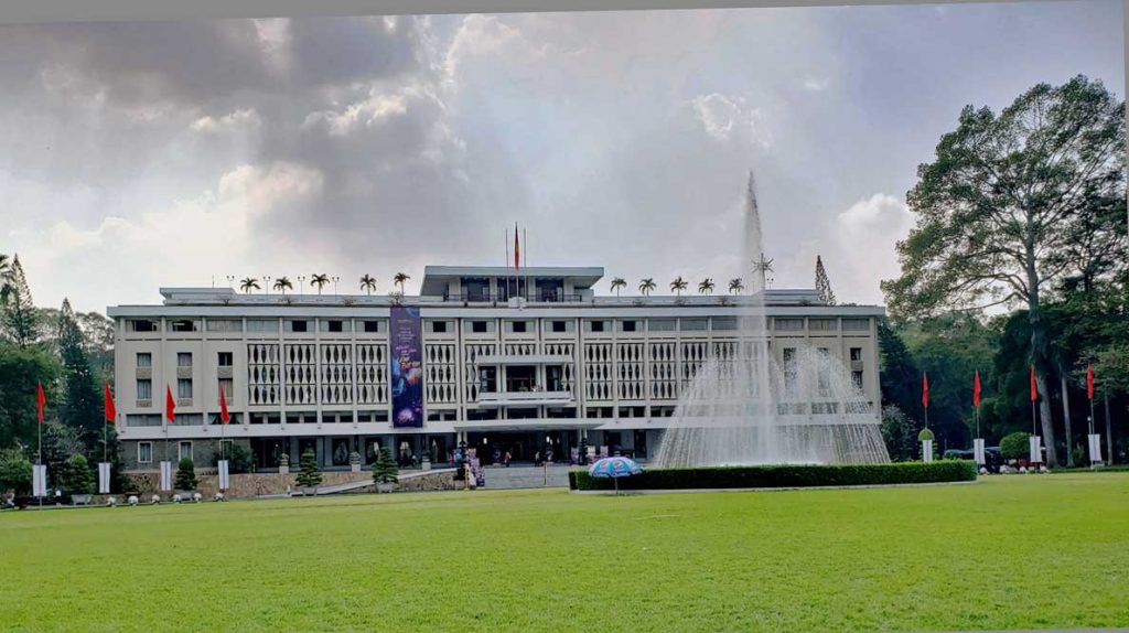
Saigon Independence Palace
Saigon Independence Palace, or as it was first called, Reunification Palace, was finished in 1966. It replaced the Norodom Palace that used to be home to the French Governor. It was the home of the South Vietnamese president until the fall of Saigon in 1975.


![Hole in the [cave] wall.](http://thelosangeleno.com/wp-content/uploads/2019/12/19_Red_River_CaveHole-1024x683.jpg)